Sněžka Summit Trail
How would you rate Sněžka Summit Trail?
Tap a star to share your experience and help other hikers.
Sněžka Summit Trail: Hiking Czechia’s Highest Mountain
HikeList Score
Sněžka Summit Trail scored 80/100 on HikeList's trail-quality metrics.
See score breakdownHide breakdown
- Ideal length 55
- Balanced challenge 80
- Scenery & wildness 98
- Varied terrain 89
- Accommodation 66
- Food & support 88
- Path quality 98
- Season flexibility 63
Computed from length, challenge, scenery & wildness, terrain variety, accommodation, food & support, path quality and season flexibility.
The Sněžka Summit Trail is a hard 14 km day hike from Pec pod Sněžkou to Sněžka, the highest mountain in the Czech Republic at 1,603 m. Set in the Krkonoše Mountains of Czechia, the route climbs about 800 m through Obří důl before a steep, rocky final approach to the Czech–Polish border summit. It suits fit hikers who want a short but serious mountain day, with marked paths, hut stops nearby and the Pec pod Sněžkou cable car as a paid descent option.
Route Overview
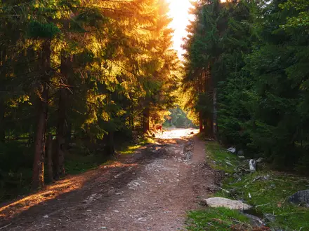
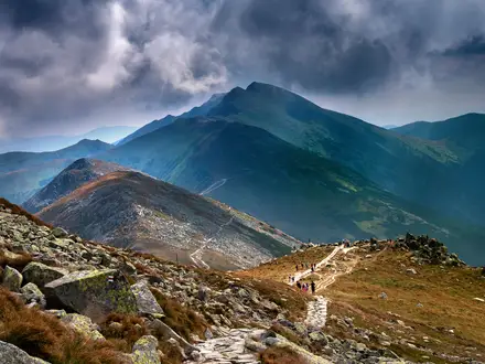
Start in Pec pod Sněžkou and follow the classic waymarked ascent through Obří důl, a glacial valley below Sněžka. The lower route uses forest tracks, meadow paths and gravel, then becomes steeper and rockier near the summit, with exposed sections and chains in places. The standard listing is out-and-back, returning the same way to Pec pod Sněžkou, though many walkers descend via Růžová hora / Růžohorky and the cable-car line. Near the top you meet the Czech–Polish Friendship Trail and pass close to Slezský dům (Śląski Dom), the mountain hut on the Polish side. For another Krkonoše walk finishing in the same town, see Černá Hora to Pec pod Sněžkou, or pair the region with the Elbe River Source Trail.
Sněžka History: Mines, Pilgrims and the Summit Chapel
The first recorded ascent of Sněžka was in 1456, when a Venetian merchant climbed the mountain while searching for precious stones. The mountain was later mined for copper, iron and arsenic, and its name comes from a word meaning “snowy”. On the summit, the Chapel of St Lawrence was built by the Silesian Schaffgotsch family in the 17th century. Modern access changed again after the 1949–2012 chairlift from Pec pod Sněžkou was replaced by today’s cable car in 2014.
Notable highlights
- Summit of Sněžka (1,603 m): The highest point in the Czech Republic and the Sudetes, standing on the Czech–Polish border. Its exposed, near-alpine profile makes the final climb feel more serious than the distance suggests.
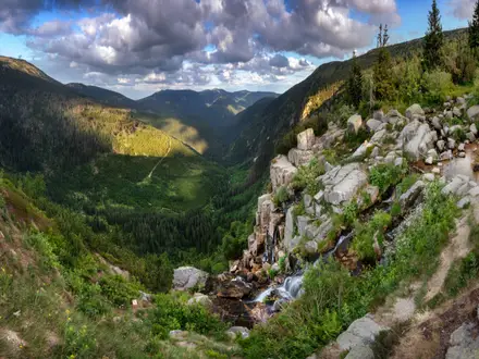
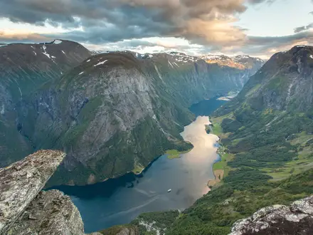
- Obří důl glacial valley: The “Giant Valley” was carved by the Quaternary Úpa glacier. It is the most scenic approach, with views into the cirque and waterfalls.
- Chapel of St Lawrence: A round stone chapel on the summit, built roughly between 1665 and 1681 by the Schaffgotsch family. It is the oldest building on Sněžka’s top.
- Highest post office in Czechia: The summit post office lets hikers send a postcard franked from the country’s highest point.
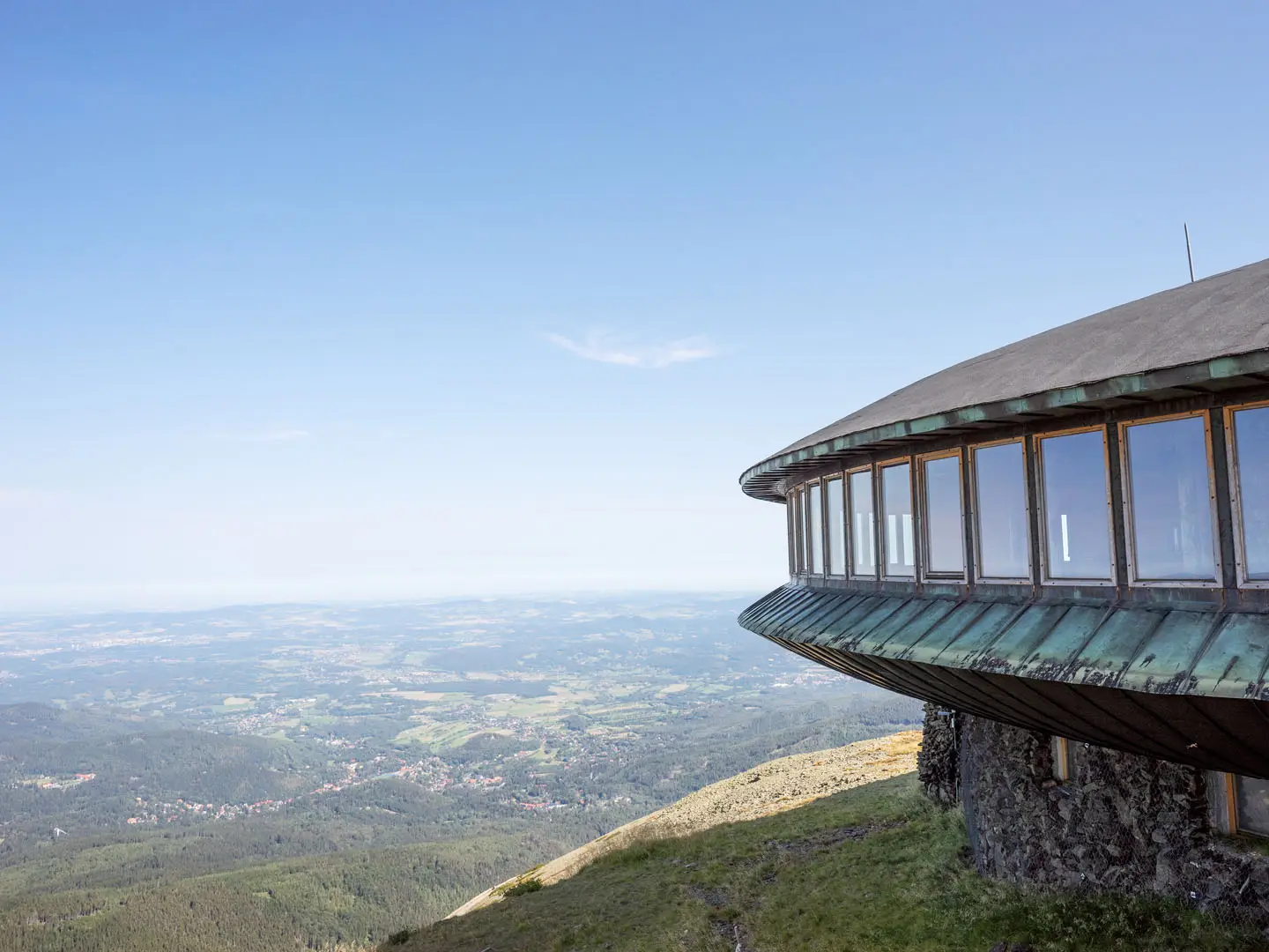
- Polish meteorological observatory: The flying-saucer-like discs on the Polish side are a weather station completed in the 1970s and one of Sněžka’s most recognisable landmarks.
- Cable car via Růžová hora: The two-section cabin cableway from Pec pod Sněžkou climbs via Růžová hora and can be used as a paid one-way descent if weather, crowds or tired legs change your plan.
Challenges to expect
Expect a steady 800 m climb and a much rougher final approach: steep, rocky, exposed and chain-assisted in places. The summit is alpine in character, with strong winds and snow in winter, despite the short distance. In peak summer, Sněžka can be very busy, so start early or go midweek. Stay on marked trails inside Krkonoše National Park; wild camping is not allowed. For a different Czech mountain valley route, compare the Bílá Opava Valley Path.
HikeList Score
Sněžka Summit Trail scored 80/100 on HikeList's trail-quality metrics.
See score breakdownHide breakdown
- Ideal length 55
- Balanced challenge 80
- Scenery & wildness 98
- Varied terrain 89
- Accommodation 66
- Food & support 88
- Path quality 98
- Season flexibility 63
Computed from length, challenge, scenery & wildness, terrain variety, accommodation, food & support, path quality and season flexibility.
 Czechia
Show more data Show less
- Mountainous
- Forest
- Meadow
- Dirt
- Gravel
- Rocky
- Stone
- Huts
- Hotels
- Family Friendly
- Pet Friendly
- Restrooms
- Water Sources
- Campsites
- Shelters
Photos from hikers
Taken on the trail by people who've reviewed Sněžka Summit Trail.
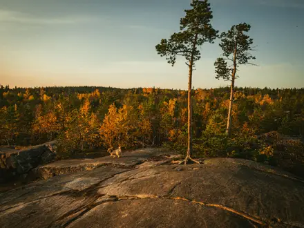
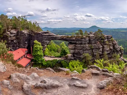
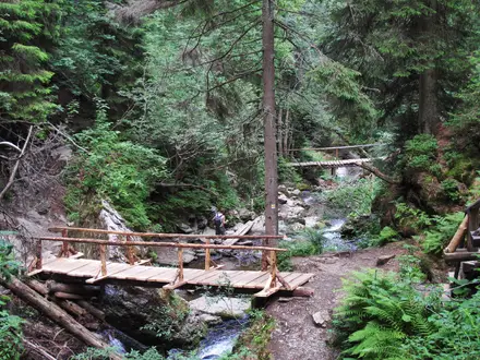
Climb from Pec pod Sněžkou through Obří důl towards the summit of Sněžka, passing from forest and meadow paths onto steeper rocky ground near the top. After visiting the summit area, Chapel of St Lawrence, post office and Czech–Polish border ridge, return to Pec pod Sněžkou the same way or descend via Růžová hora / the cable-car line.
Reviews
How would you rate Sněžka Summit Trail?
Tap a star to start your review — you could be the first.