Schneeberg Circular Trail
How would you rate Schneeberg Circular Trail?
Tap a star to share your experience and help other hikers.
Schneeberg Circular Trail: Fadensteig to Lower Austria’s Highest Summit
HikeList Score
Schneeberg Circular Trail scored 73/100 on HikeList's trail-quality metrics.
See score breakdownHide breakdown
- Ideal length 55
- Balanced challenge 74
- Scenery & wildness 98
- Varied terrain 71
- Accommodation 49
- Food & support 72
- Path quality 98
- Season flexibility 76
Computed from length, challenge, scenery & wildness, terrain variety, accommodation, food & support, path quality and season flexibility.
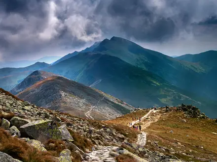
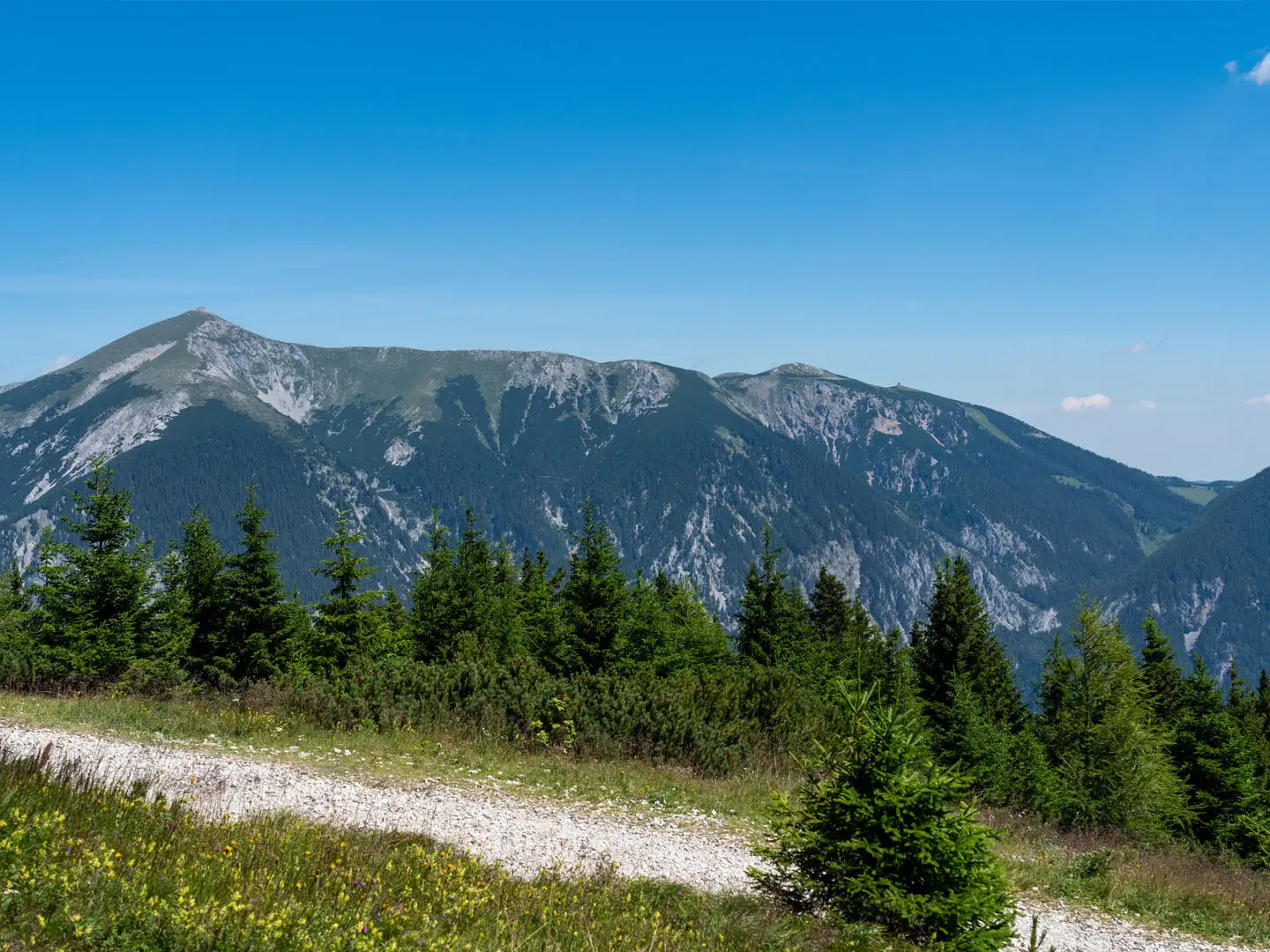
The Schneeberg Circular Trail is a hard 14 km day hike in Austria, climbing about 1,250 m from Losenheim to Klosterwappen, the highest point in Lower Austria. This loop in the Rax-Schneeberg Group of the Northern Calcareous Alps suits experienced mountain hikers who are confident on steep, exposed ground. The key obstacle is the Fadensteig, a partly cable-secured scramble; this is not a family walk or a casual summit stroll.
Route Overview
The classic loop starts and finishes at the Losenheim chairlift valley station at 872 m. It climbs past the Edelweisshuette and Sparbacherhuette to the Fadensteig, then continues onto the high plateau near the Fischerhuette at 2,049 m. From there the route links the twin high points of Kaiserstein at 2,061 m and Klosterwappen at 2,076 m before descending past the Schauerstein back to Losenheim. The Schneebergbahn cog railway from Puchberg is a separate access option for shortening some Schneeberg outings, not the standard start of this loop. For longer Austrian mountain routes, compare the Eagle Walk, Dachstein Rundwanderweg and Hohe Tauern Panorama Trail.
Schneeberg history and Vienna’s mountain water
Schneeberg has long been a prominent landmark above the Vienna basin. Its karst springs have supplied Vienna’s drinking water through the First Vienna Mountain Spring Pipeline since 1873. The Schneebergbahn cog railway opened in 1897, making the summit plateau much easier to reach and helping Puchberg grow as a resort. Near the plateau, the Empress Elisabeth Memorial Church was built in 1901 in memory of Empress Elisabeth, known as Sisi.
Notable highlights
- Klosterwappen summit (2,076 m): The highest point in Lower Austria and the top of the Schneeberg loop. In clear weather the open plateau gives wide views across the Vienna basin and towards neighbouring countries.
- The Fadensteig: The route’s crux: a steep, exposed, partly cable-secured path on the Fadenwand. It is the main reason the walk is graded hard and requires sure-footedness.
- Fischerhuette (2,049 m): A staffed alpine hut just below the summits, useful for food, shelter and a weather check before or after the high point.
- Kaiserin-Elisabeth-Gedaechtniskirche: A small Jugendstil pilgrimage church near the summit plateau, built in 1901 in memory of Empress Elisabeth.
- Schneebergbahn cog railway: A historic rack railway from Puchberg to Hochschneeberg station. Hikers can use it on alternative Schneeberg plans to shorten ascent or descent.
- Karst plateau and alpine flora: The limestone plateau is dotted with dwarf pine, meadows and alpine wildlife habitat, with karst springs that feed Vienna’s water supply.
Challenges to expect
Expect a long, committing mountain day rather than a simple marked walk. The Fadensteig has exposed, cable-secured scrambling where a head for heights is essential. Snow can linger in steep gullies early in the season, and the high plateau is open to sudden wind and weather changes even in summer. Carry layers, water and enough time for a 6.5–7 hour outing.
HikeList Score
Schneeberg Circular Trail scored 73/100 on HikeList's trail-quality metrics.
See score breakdownHide breakdown
- Ideal length 55
- Balanced challenge 74
- Scenery & wildness 98
- Varied terrain 71
- Accommodation 49
- Food & support 72
- Path quality 98
- Season flexibility 76
Computed from length, challenge, scenery & wildness, terrain variety, accommodation, food & support, path quality and season flexibility.
 Austria
Show more data Show less
- Mountainous
- Forest
- Rocky
- Dirt
- Gravel
- Huts
- Pet Friendly
- Restrooms
- Water Sources
- Campsites
- Shelters
Photos from hikers
Taken on the trail by people who've reviewed Schneeberg Circular Trail.
Reviews
How would you rate Schneeberg Circular Trail?
Tap a star to start your review — you could be the first.