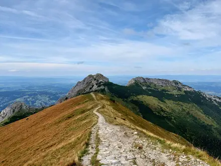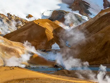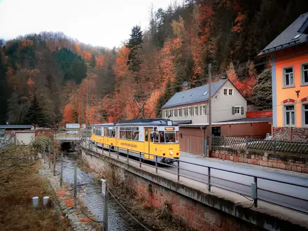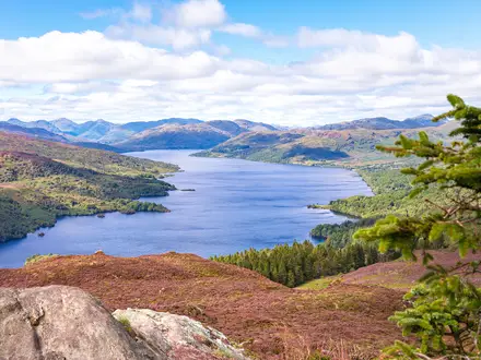
Riisitunturi National Park Trail
How would you rate Riisitunturi National Park Trail?
Tap a star to share your experience and help other hikers.
Riisitunturi National Park Trail: Fell, Bog and Tykky Forest
HikeList Score
Riisitunturi National Park Trail scored 75/100 on HikeList's trail-quality metrics.
See score breakdownHide breakdown
- Ideal length 55
- Balanced challenge 100
- Scenery & wildness 71
- Varied terrain 83
- Accommodation 67
- Food & support 66
- Path quality 92
- Season flexibility 89
Computed from length, challenge, scenery & wildness, terrain variety, accommodation, food & support, path quality and season flexibility.
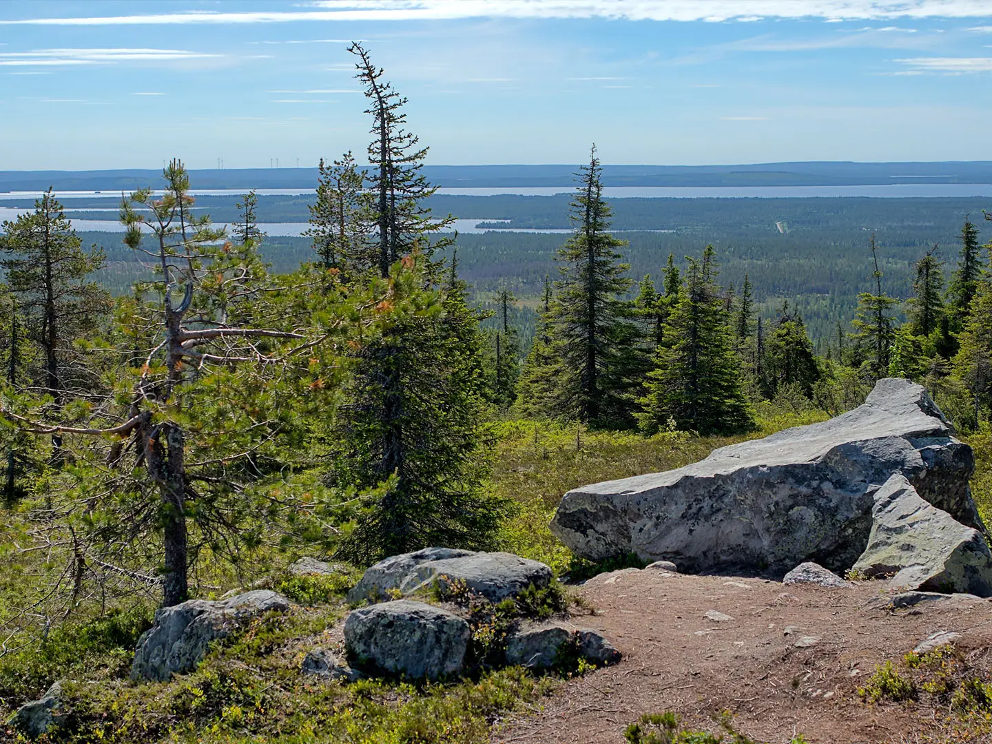
The Riisitunturi National Park Trail is an 11 km waymarked day loop in southern Finnish Lapland, in Posio, Finland. The listing matches Riisin Rietas, the park’s longest marked day route, a moderate circuit climbing Riisitunturi fell through Siberian-spruce taiga, sloping hanging bogs and open viewpoints. It suits hikers wanting a compact Lapland fell-and-mire walk rather than a multi-day trek. In winter, Riisitunturi is famous for tykky crown snow-load scenery, but the summer loops are not winter-maintained.
Route Overview
Riisin Rietas starts and finishes at the Riisitunturi National Park car park on Tolvantie, about 35 km from Posio village. It is a circular route, marked with green paint blazes on posts, climbing from the trailhead onto the fell slopes. Key places on the loop include Pond Uusilampi, the Nuolivaara highlands, Riisinsuo bog, River Riisijoki, small creeks and Pieni Riisitunturi, with views towards Lake Kitkajärvi and the surrounding forest plateau. The nearest airport is Kuusamo; buses serve Posio from Rovaniemi and Kuusamo. For a longer Lapland hut-to-hut walk, see the Hetta-Pallas Trail; for shorter Finnish national-park hiking, compare Nuuksio National Park Trail and Leivonmäki National Park Trail.
Riisitunturi National Park: Conservation Background
Riisitunturi National Park was established in 1982 to protect a southern-Lapland landscape of taiga, fell and mire centred on the 465 m Riisitunturi fell in Posio. The park is managed by Metsähallitus, Parks & Wildlife Finland, and covers about 77 km2. Its special conservation value lies in the hillside hanging bogs, old Siberian-spruce forest and wetland habitats recognised under the Ramsar convention. Today the park is also known internationally for winter tykky crown snow-load forests.
Notable highlights
- Tykky forests: In winter the narrow Siberian spruces become loaded with snow and rime, creating the white “ghost forest” scenery that makes Riisitunturi a major Finnish winter photography spot.
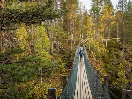
- Hanging bogs (rinnesuot): These sloping mires cling to the hillsides rather than sitting in hollows. The marked loops cross wet sections on duckboards and boardwalk structures.
- Riisitunturi fell summit (465 m): The park’s high point is a twin-peaked fell with open views over Lake Kitkajärvi and a broad forest-and-mire plateau.
- Nuolivaara highlands: The longer Riisin Rietas loop adds this higher ground beyond the shorter Riisin Rääpäsy circuit, giving wider views across Posio’s lakes and forests.
- Riisinsuo bog and Lake Kitkajärvi views: Riisinsuo is one of the route’s main mire sections, especially striking in September ruska colours when the bog and forest turn autumnal.
Challenges to expect
The difficulty is moderate: the route is short, but it climbs the fell, crosses exposed mire sections and has limited services. Expect natural path, duckboards and wet ground, with some steeper pulls. Navigation is helped by waymarking, but you still need a map in poor visibility. The summer loops are for snow-free conditions; in winter, plan for snowshoes or skis rather than walking the duckboards.
HikeList Score
Riisitunturi National Park Trail scored 75/100 on HikeList's trail-quality metrics.
See score breakdownHide breakdown
- Ideal length 55
- Balanced challenge 100
- Scenery & wildness 71
- Varied terrain 83
- Accommodation 67
- Food & support 66
- Path quality 92
- Season flexibility 89
Computed from length, challenge, scenery & wildness, terrain variety, accommodation, food & support, path quality and season flexibility.
 Finland
Show more data Show less
- Fell
- Bog/Mire
- Forest
- Natural Path
- Duckboards
- Boardwalk Crossings
- Lean To Shelters
- Wilderness Hut
- Campfire Sites
- Family Friendly
- Pet Friendly
- Restrooms
- Campsites
- Shelters
- Picnic Areas
Photos from hikers
Taken on the trail by people who've reviewed Riisitunturi National Park Trail.
Reviews
How would you rate Riisitunturi National Park Trail?
Tap a star to start your review — you could be the first.