Leivonmäki National Park Trail
How would you rate Leivonmäki National Park Trail?
Tap a star to share your experience and help other hikers.
Leivonmäki National Park Trail: Easy Esker and Mire Loops
HikeList Score
Leivonmäki National Park Trail scored 75/100 on HikeList's trail-quality metrics.
See score breakdownHide breakdown
- Ideal length 55
- Balanced challenge 60
- Scenery & wildness 98
- Varied terrain 89
- Accommodation 67
- Food & support 66
- Path quality 98
- Season flexibility 89
Computed from length, challenge, scenery & wildness, terrain variety, accommodation, food & support, path quality and season flexibility.
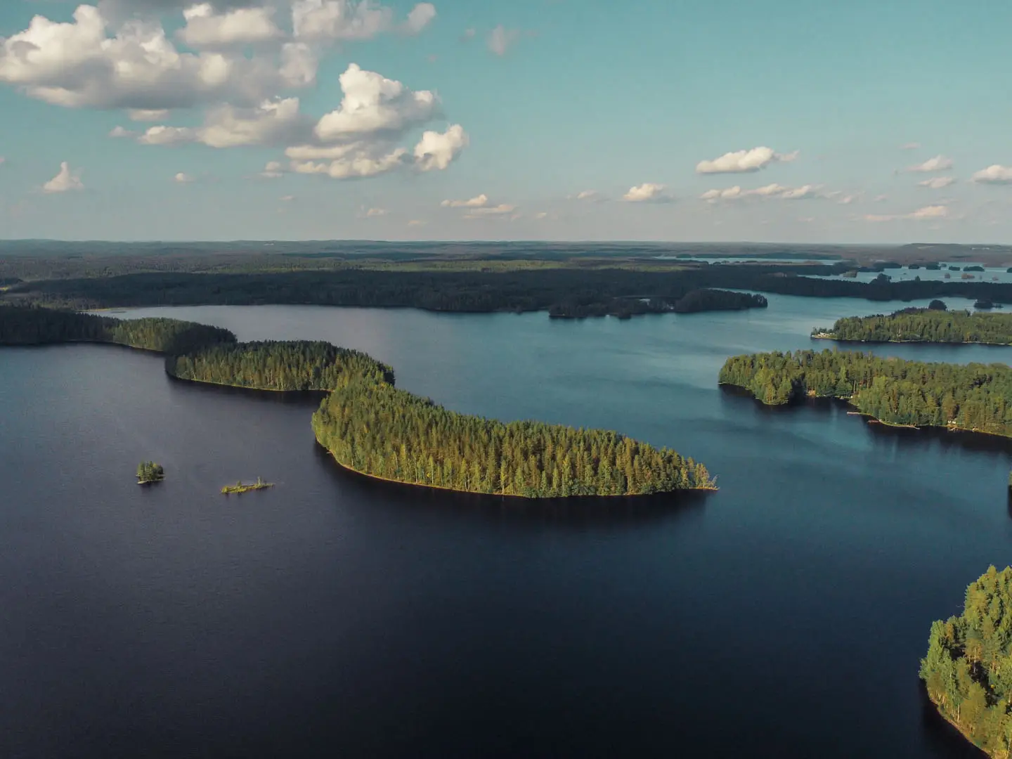
The Leivonmäki National Park Trail is an easy 10 km loop in Central Finland, combining Harjunkierros and Mäyränkierros from Selänpohja on Lake Rutajärvi. This is not a long-distance thru-hike: Leivonmäki National Park is a compact network of short, clearly marked circuits through pine esker ridges, lakeshore and mire. Allow 1 day, or a relaxed half-day if you move quickly. It suits families, first-time national park walkers and hikers wanting simple logistics between Jyväskylä and Leivonmäki.
Route Overview
Start and finish at the Selänpohja parking area on Lake Rutajärvi. The standard 10 km outing links Harjunkierros, a 4.5 km ridge circuit through dry pine forest and short esker climbs, with Mäyränkierros, a 5.5 km loop with access towards the Joutsniemi esker headland. The route is a loop, not point-to-point, and signs use the Finnish circuit name kierros. Access is easiest by car; in summer the Outdoor Express bus serves the park, and JYTAKSI fixed-price taxi operates year-round from Jyväskylä. For another compact Central Finland option, compare the Isojärvi National Park Trail; nearer Helsinki, see the Nuuksio National Park Trail.
Conservation history of Leivonmäki National Park
Protection at Leivonmäki grew from conservation efforts in the 1970s, when mire and forest habitats were under pressure from peat extraction, forestry and gravel excavation. The Finnish state bought land through the 1980s, and the Haapasuo–Syysniemi nature reserve was designated in 1991. That reserve later became the core of Leivonmäki National Park, established in 2003 and managed by Metsähallitus. The park recorded roughly 29,100 visits in 2024.
Notable highlights
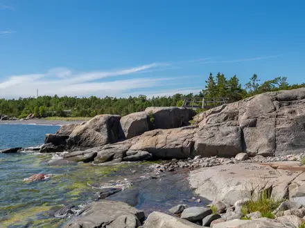
- Joutsniemi Ridge (1.5 km esker headland): A winding Ice Age esker projecting into Lake Rutajärvi, with a sandy beach, lean-to shelter and campfire site. It is the park’s best-known landform and a useful target from the Selänpohja loops.
- Haapasuo mire: A large open bog in the south, best viewed from the Haapasuo esker and bird-watching tower. Most of the mire is closed to walkers from 15 April to 15 July to protect nesting birds.
- Harjunkierros (4.5 km Ridge Circuit): The classic Selänpohja loop, crossing pine-clad esker ridges with short climbs before reaching the shore of Lake Rutajärvi. It gives a quick sample of the park’s forest, sand and lakeside terrain.
- Rutajoki rapids on Koskikaran kierros: In the northern part of the park, this roughly 3.5 km nature trail from Rutalahti follows the Rutajoki river past rapids, with interpretation on local history and wildlife.
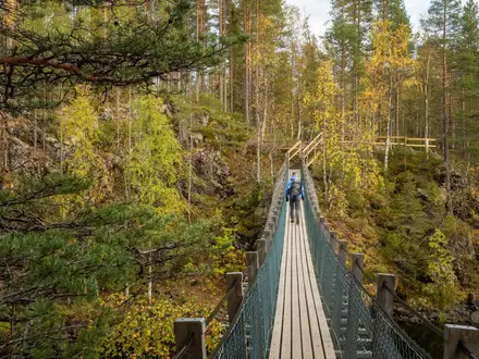
- Valklampi boardwalk and mire ponds: Duckboards cross wet ground around the Iso and Pieni Valklampi ponds, giving dry-footed access to boreal wetland.
- Lake Rutajärvi: The main lake and trailhead focus, with campfire sites, beaches and the Selänpohja circuits on its shore. If lake-focused Finnish parks appeal, also look at the Linnansaari National Park Trail.
Challenges to expect
Leivonmäki is easy, but not entirely flat: esker sections have short climbs on sandy or dirt paths. Wetland sections use duckboards, which can be slippery after rain. Services are sparse, so carry water and food. Navigation is straightforward on marked circuits, but check you are on the intended loop at junctions. Respect the Haapasuo nesting-season closure from 15 April to 15 July.
HikeList Score
Leivonmäki National Park Trail scored 75/100 on HikeList's trail-quality metrics.
See score breakdownHide breakdown
- Ideal length 55
- Balanced challenge 60
- Scenery & wildness 98
- Varied terrain 89
- Accommodation 67
- Food & support 66
- Path quality 98
- Season flexibility 89
Computed from length, challenge, scenery & wildness, terrain variety, accommodation, food & support, path quality and season flexibility.
 Finland
Show more data Show less
- Forest
- Wetland
- Lakeside
- Dirt
- Sand
- Boardwalk
- Gravel
- Huts
- Campsites
- Wild Camping Spots
- Family Friendly
- Pet Friendly
- Restrooms
- Campsites
- Shelters
- Picnic Areas
Photos from hikers
Taken on the trail by people who've reviewed Leivonmäki National Park Trail.
Reviews
How would you rate Leivonmäki National Park Trail?
Tap a star to start your review — you could be the first.