Repovesi National Park Trail
How would you rate Repovesi National Park Trail?
Tap a star to share your experience and help other hikers.
Repovesi National Park Trail: Granite Hills, Forest and Lakes
HikeList Score
Repovesi National Park Trail scored 78/100 on HikeList's trail-quality metrics.
See score breakdownHide breakdown
- Ideal length 55
- Balanced challenge 100
- Scenery & wildness 85
- Varied terrain 83
- Accommodation 67
- Food & support 66
- Path quality 98
- Season flexibility 76
Computed from length, challenge, scenery & wildness, terrain variety, accommodation, food & support, path quality and season flexibility.
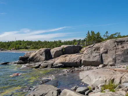
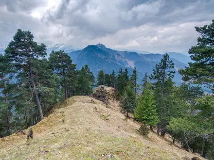
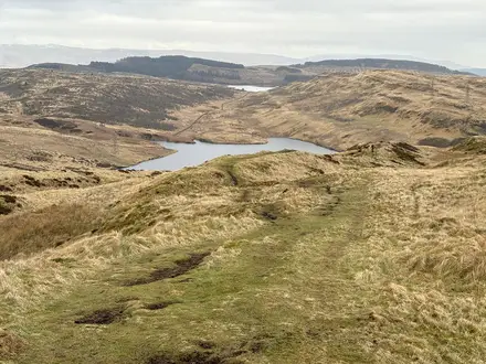
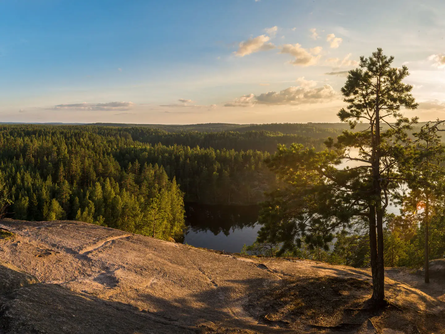
Repovesi National Park Trail is best understood as a 15 km one-day loop combination through Repovesi National Park in south-eastern Finland, not one official named route. The moderate circuit links waymarked paths from the Lapinsalmi area through pine and birch forest, granite outcrops, lake shores and viewpoints. It suits hikers wanting a full day in compact Finnish wilderness, with rough but non-technical terrain. Shorter options include Ketunlenkki, while the longer Kaakkurinkierros is a bigger 26 km outing.
Route Overview
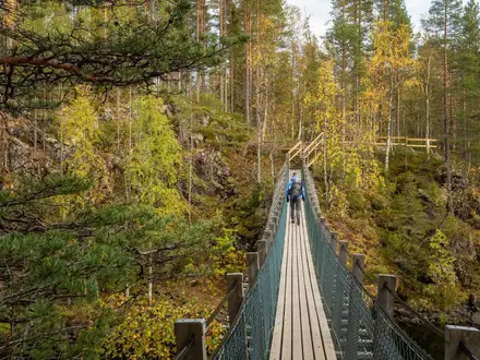
Most hikers start and finish at Lapinsalmi, the main entrance, though Saarijarvi and Tervajarvi are also park gateways. A 15 km day circuit typically combines sections of the official loops: Ketunlenkki (3.5 km), Korpinkierros (4.3–4.5 km) towards Olhavanvuori, and connecting paths through the lakeland. The route is signposted and waymarked, with painted blazes, junction boards, forest paths, rock, gravel, boardwalks, wooden stairs and water crossings. Note that the Lapinsalmi suspension bridge has been closed since early 2024 for repairs; in summer the hand-operated Ketunlossi ferry may be used instead. For other Finnish park walks, compare Nuuksio near Helsinki, Isojarvi’s forest trails or the longer Hetta-Pallas Trail.
Logging, Protection and Older Human Traces
Repovesi was heavily shaped by forestry. Around 1913, much of the area passed to Kymiyhtio, later UPM-Kymmene, supplying sawmills and paper mills at Kuusankoski, Voikkaa and Kymintehdas. Large-scale felling continued until 1977. As the forest recovered, UPM-Kymmene donated land in 2001, helping create Repovesi National Park and the adjoining Aarnikotka Forest Nature Reserve on 1 January 2003. Older signs of people remain too, including slash-and-burn clearings, tar-burning sites and prehistoric rock paintings at Olhavanvuori and near Lopponen cave.
Notable highlights
- Lapinsalmi suspension bridge: The park’s signature crossing spans the Lapinsalmi strait at the main entrance, though it has been closed since early 2024 for structural repairs. In summer, the hand-operated Ketunlossi cable ferry may provide the crossing instead.
- Olhavanvuori cliff: A 40–50 m granite wall rising from Lake Olhavanlampi, known as Finland’s best-known rock-climbing crag. Walkers reach it via the Korpinkierros loop in the adjoining Aarnikotka reserve.
- Ketunlenkki (‘Fox Loop’): The most popular short circuit from Lapinsalmi, about 3.5 km. It gives an easy sample of the park’s water crossings, forest and lake views.
- Mustanlamminvuori observation tower: A viewpoint above the forested lakeland, reached by climbing onto Repovesi’s rocky high ground. It is one of the park’s classic panorama stops.
- Kuutinlahti rafting channels: Restored timber-floating channels and sluices at a sheltered bay. They are a clear reminder of Repovesi’s logging and rafting past.
- Tolosenvuori and the granite hills: Tolosenvuori is the park high point at 153 m, part of a landscape of bare granite tops, short climbs and open views over lakes and forest.
Challenges to expect
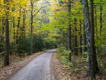
Expect uneven forest paths, rocky slabs, roots, boardwalks, gravel sections and short steep climbs to viewpoints such as Katajavuori and Olhavanvuori. Wooden stairs or ladders may be involved, but there is no technical climbing on the walking trails. Navigation is helped by signs and blazes, yet junction choices matter because several loops overlap. Mosquitoes can be heavy from May to late July, and winter conditions are much harder.
HikeList Score
Repovesi National Park Trail scored 78/100 on HikeList's trail-quality metrics.
See score breakdownHide breakdown
- Ideal length 55
- Balanced challenge 100
- Scenery & wildness 85
- Varied terrain 83
- Accommodation 67
- Food & support 66
- Path quality 98
- Season flexibility 76
Computed from length, challenge, scenery & wildness, terrain variety, accommodation, food & support, path quality and season flexibility.
 Finland
Show more data Show less
- Forest
- Lakes
- Rocky Hills
- Dirt
- Rock
- Gravel
- Campsites
- Huts
- Lean Tos
- Family Friendly
- Pet Friendly
- Restrooms
- Campsites
- Shelters
- Picnic Areas
Photos from hikers
Taken on the trail by people who've reviewed Repovesi National Park Trail.
Reviews
How would you rate Repovesi National Park Trail?
Tap a star to start your review — you could be the first.