Kilpatrick Hills Trail
How would you rate Kilpatrick Hills Trail?
Tap a star to share your experience and help other hikers.
Kilpatrick Hills Trail: Loch Humphrey, Duncolm and The Slacks
HikeList Score
Kilpatrick Hills Trail scored 84/100 on HikeList's trail-quality metrics.
See score breakdownHide breakdown
- Ideal length 55
- Balanced challenge 100
- Scenery & wildness 98
- Varied terrain 77
- Accommodation 100
- Food & support 61
- Path quality 98
- Season flexibility 89
Computed from length, challenge, scenery & wildness, terrain variety, accommodation, food & support, path quality and season flexibility.
The Kilpatrick Hills Trail is best treated as a ~15 km circular hill walk, not a formal waymarked end-to-end trail. It starts at Old Kilpatrick, immediately northwest of Glasgow in Scotland, and links Loch Humphrey, Duncolm and The Slacks in about 5 hours. Difficulty is moderate for distance and ascent, but navigation can be harder than the grade suggests: after the initial track, the route crosses wet, sometimes pathless moorland with no hill waymarkers. It suits hillwalkers wanting a short, wild-feeling day from Glasgow.
Route Overview
Start and finish at Old Kilpatrick railway station or the nearby car park. From the village, the route climbs on a broad gravel track with views towards the Erskine Bridge, Dumbarton Rock and the River Clyde, then reaches Loch Humphrey reservoir. Beyond the loch, footpaths and faint lines continue over Fynloch Hill to Duncolm, the 401 m high point of the Kilpatrick Hills. The return crosses boggy moorland towards The Slacks, a lower 365 m viewpoint, before descending to Old Kilpatrick. Trains run from Glasgow Queen Street or Central to Old Kilpatrick, with about two trains an hour; driving from Glasgow takes around 30 minutes. For longer Scottish routes, compare the Arran Coastal Way, Ayrshire Coastal Path or Beinn Eighe Mountain Trail.
Old Kilpatrick and the Antonine Wall
Old Kilpatrick is the western terminus of the Antonine Wall, the Roman Empire’s northernmost frontier. Built about AD 142 on the orders of Emperor Antoninus Pius, the wall ran roughly 37 miles from Bo’ness on the Forth to the Clyde. It is now part of the Frontiers of the Roman Empire UNESCO World Heritage Site. Roman forts at Old Kilpatrick, Duntocher and Castlehill sit around the southern foot and edge of the hills, though not on the summit section of this walk.
Notable highlights
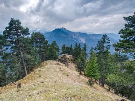
Duncolm summit (401 m): The highest point of the Kilpatrick Hills and of West Dunbartonshire, marked by a trig point. In clear weather it gives wide views towards Loch Lomond, the Highlands, the Campsie Fells and Burncrooks Reservoir.
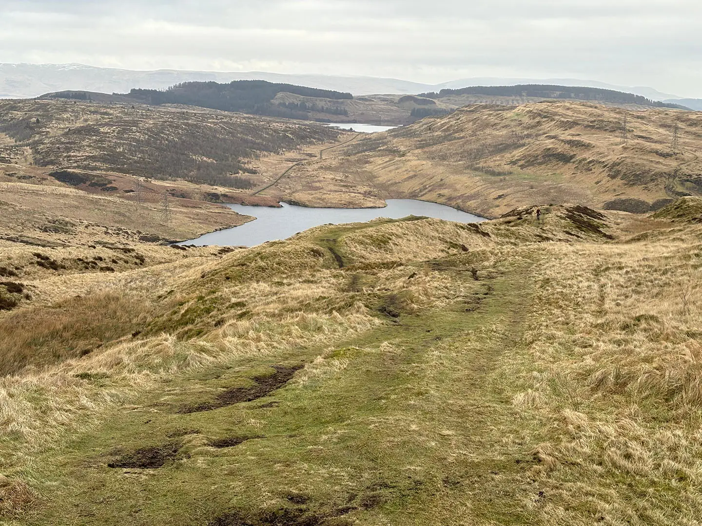
Loch Humphrey: A hill reservoir reached at the top of the first steep climb. It is the main turning landmark where the broad track gives way to rougher open-hill walking.
The Slacks (365 m): A lower moorland viewpoint on the return leg, with open views over Glasgow and the Clyde estuary. It is not the highest point of the route; that is Duncolm.
Antonine Wall at Old Kilpatrick: The walk starts at the Clyde end of this Roman frontier, now part of a UNESCO World Heritage Site. Nearby Duntocher and Castlehill preserve fort remains.
Erskine Bridge and Clyde views: The lower ascent looks back across the River Clyde, with Dumbarton Rock and the Erskine Bridge prominent before the route reaches the open moor.
Boggy heather moorland: The high ground is defined by heather, grass and waterlogged peat. Waterproof boots are strongly recommended, especially after rain.
Challenges to expect
The main challenges are wet ground and navigation. The track to Loch Humphrey is straightforward, but beyond it the route uses faint paths, sheep tracks and pathless grassy moorland. Mud can be ankle- to calf-deep after rain. Waymarking stops once on the hill, and mist or low cloud can hide landmarks, so carry a map, compass or GPS.
HikeList Score
Kilpatrick Hills Trail scored 84/100 on HikeList's trail-quality metrics.
See score breakdownHide breakdown
- Ideal length 55
- Balanced challenge 100
- Scenery & wildness 98
- Varied terrain 77
- Accommodation 100
- Food & support 61
- Path quality 98
- Season flexibility 89
Computed from length, challenge, scenery & wildness, terrain variety, accommodation, food & support, path quality and season flexibility.
 United Kingdom
 Scotland
Show more data Show less
- Moorland
- Hills
- Gravel
- Dirt
- Grass
- Boggy
- Rocky
- Hotels
- B&Bs
- Guesthouses
- Wild Camping Spots
- Family Friendly
- Pet Friendly
- Campsites
Photos from hikers
Taken on the trail by people who've reviewed Kilpatrick Hills Trail.
Reviews
How would you rate Kilpatrick Hills Trail?
Tap a star to start your review — you could be the first.