Piska Forest Loop
How would you rate Piska Forest Loop?
Tap a star to share your experience and help other hikers.
Piska Forest Loop: Easy Masurian Forest and Lake Walk
HikeList Score
Piska Forest Loop scored 72/100 on HikeList's trail-quality metrics.
See score breakdownHide breakdown
- Ideal length 55
- Balanced challenge 50
- Scenery & wildness 85
- Varied terrain 83
- Accommodation 84
- Food & support 68
- Path quality 92
- Season flexibility 89
Computed from length, challenge, scenery & wildness, terrain variety, accommodation, food & support, path quality and season flexibility.
The Piska Forest Loop is an easy day walk in Puszcza Piska, the largest forest complex in Masuria, north-eastern Poland. The listed distance is about 11.5 km, suitable for a half-day to full-day hike on flat to gently undulating forest terrain. Treat the name as a practical route label, not a single official long-distance trail: the area around Ruciane-Nida and Pisz has several colour-blazed PTTK walking loops, including a green Ruciane-Nida circuit of about 13.2 km.
Route Overview
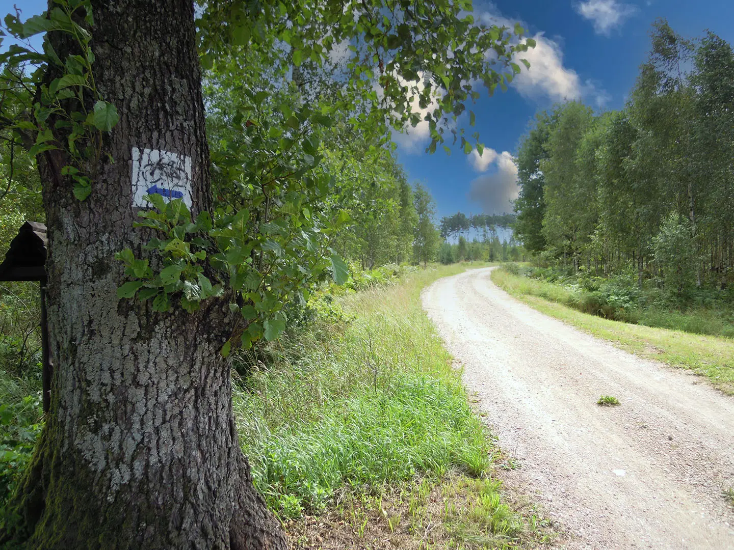
Most Piska Forest loop options start and finish in a gateway town such as Ruciane-Nida or Pisz, then use PTTK colour-blazed forest paths, sandy tracks and gravel forestry roads. The walking is circular rather than point-to-point, with route choices threading pine and mixed woodland and, on some variants, the shores of lakes such as Nidzkie, Beldany and Mokre. There is no fixed canonical sequence of waypoints for an 11.5 km “Piska Forest Loop”, so plan from a local marked circuit rather than expecting one official named trail. For other Polish lowland forest walks, compare Białowieża Forest Trails, Drawa National Park Trail and Kampinos National Park Trail.
Puszcza Piska: Forest History and the 2002 Storm
Puszcza Piska is an ancient post-glacial woodland forming the southern wing of the Great Masurian Lakes region. The area was part of historic East Prussia before 1945. Its best-known modern event was the catastrophic windstorm of 4 July 2002, one of the largest forest disasters in recent Polish history. Around Pisz, the storm damaged about 12,000 ha of forest and completely destroyed about 4,000 ha; the State Forests carried out an eight-year restoration programme, and young regrowth is still visible on some trails.
Notable highlights
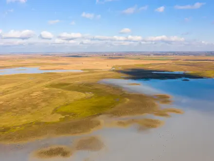
- Puszcza Piska: Poland’s largest forest in Masuria, covering roughly 100,000 hectares. Expect quiet pine and mixed woodland, sandy tracks, lakes, rivers, bogs and open clearings.
- Masurian lakes: Route variants can skirt lakes such as Nidzkie, Beldany and Mokre. Nearby Sniardwy, on the edge of the forest, is the largest lake in Poland.
- Krutynia river: The Krutynia flows through the forest and is a noted lowland kayaking route. Its clear, shallow water adds variety to the forest-and-lake landscape.
- Wildlife and birdlife: The forest includes eleven nature reserves and is important for birds. Deer, wild boar, beaver and elk live here, while mute swans, black storks and white-tailed eagles are associated with the lakes.
- Masurian Landscape Park: Part of the forest lies within this protected park, established in 1977. It protects the Krutynia valley’s mosaic of woodland, water and wetlands.
- 2002 storm regrowth: A major hurricane on 4 July 2002 flattened a long belt of forest near Pisz. Replanted and naturally regenerating stands are a visible reminder of that event.
Challenges to expect
This is an easy lowland walk, but do not underestimate navigation: “Piska Forest Loop” is not one official trail, and several local PTTK routes overlap the area. Sandy ground can slow the pace, and lakeside or boggy sections may be wet after rain. Carry water and a map or offline GPX, as services are concentrated in Ruciane-Nida, Pisz and lakeside villages rather than inside the forest.
HikeList Score
Piska Forest Loop scored 72/100 on HikeList's trail-quality metrics.
See score breakdownHide breakdown
- Ideal length 55
- Balanced challenge 50
- Scenery & wildness 85
- Varied terrain 83
- Accommodation 84
- Food & support 68
- Path quality 92
- Season flexibility 89
Computed from length, challenge, scenery & wildness, terrain variety, accommodation, food & support, path quality and season flexibility.
 Poland
Show more data Show less
- Forest
- Lowland
- Lakeside
- Forest Footpaths
- Sandy Tracks
- Gravel Forestry Roads
- Guesthouses
- Agritourism Lodgings
- Holiday Resorts
- Campsites
- Wild Camping Spots
- Family Friendly
- Pet Friendly
- Campsites
- Picnic Areas
Photos from hikers
Taken on the trail by people who've reviewed Piska Forest Loop.
Reviews
How would you rate Piska Forest Loop?
Tap a star to start your review — you could be the first.