Senda del Oso (Bear Trail)
How would you rate Senda del Oso (Bear Trail)?
Tap a star to share your experience and help other hikers.
Senda del Oso: Asturias' Easy Bear Trail Greenway
HikeList Score
Senda del Oso (Bear Trail) scored 76/100 on HikeList's trail-quality metrics.
See score breakdownHide breakdown
- Ideal length 55
- Balanced challenge 60
- Scenery & wildness 88
- Varied terrain 87
- Accommodation 83
- Food & support 88
- Path quality 71
- Season flexibility 89
Computed from length, challenge, scenery & wildness, terrain variety, accommodation, food & support, path quality and season flexibility.
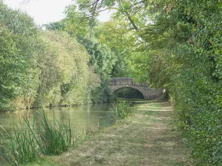
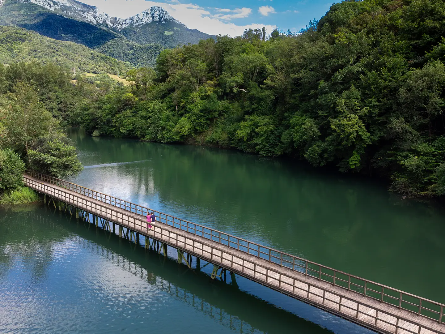
The Senda del Oso, or Bear Trail, is an easy rail-trail in central Asturias, northern Spain. It follows a mostly paved former mining railway for about 36 km across its full Y-shaped network, with roughly 300 m of total ascent and a gentle valley-floor gradient. This is a one-day walk or cycle, not a mountain thru-hike: it suits families, cyclists, strollers and hikers wanting limestone gorges, woodland and the famous Cantabrian brown-bear enclosures near Proaza.
Route Overview
Most walkers start at Tuñón, near Trubia and Oviedo, then follow the Río Trubia south through Villanueva, the Cercados Oseros bear enclosures and Proaza. At Caranga de Abajo the route forks: one branch continues towards Entrago in the Teverga valley, while the other runs via Valdemurio reservoir to Santa Marina/Bárzana in Quirós. The main Tuñón–Entrago branch is 22 km; the Quirós branch adds about 14 km from the fork. Treat it as a point-to-point route unless using a bike-rental shuttle or local bus to return. Bring a torch for darker tunnels. For longer Spanish pilgrim routes, compare the Camino Primitivo and Camino del Norte.
From Mining Railway to Greenway
The Senda del Oso follows two former 0.75 m narrow-gauge mining railways in the Trubia basin. The first line, from 1874, linked the Quirós valley mines to Trubia station; a branch from Caranga de Abajo later served the Teverga mines, creating the Y shape. Regular service began in 1884 with Belgian Saint Léonard steam locomotives. The railway closed and was dismantled in October 1963, and the trackbed reopened in the 1990s as one of Spain's early rail-to-trail greenways.
Notable highlights
Cercados Oseros, near Proaza: Two large fenced enclosures beside the path hold Cantabrian brown bears that cannot live in the wild. The current residents are Paca and Molina, and viewing from the greenway is free.
Casa del Oso, Proaza: This visitor and interpretation centre is the headquarters of the Fundación Oso de Asturias. It explains the Cantabrian brown bear and the conservation project linked to the trail.
Limestone gorges of the Trubia and Teverga: The route threads narrow river canyons with high rock walls. These gorge sections are the scenic core of the walk between Tuñón and Entrago.
Railway tunnels and bridges: Twelve old railway tunnels and 11 rehabilitated bridges carry the trail through rock and across the Trubia, Picarós, Teverga and Llanuces rivers. Some tunnels are lit; others are darker.
Valdemurio reservoir: On the Quirós branch, Embalse de Valdemurio is a scenic waterside stop with a mountain backdrop.
Medieval bridge of Villanueva: This old stone bridge over the Río Trubia is passed early on the northern section from Tuñón.
Challenges to expect
The trail is technically easy, flat and well surfaced, but logistics matter: it is linear and Y-shaped, so arrange a shuttle, bus or bike return unless walking out-and-back. Asturias is wet, so expect rain even in the main walking seasons. Some longer tunnels can be dark, making a torch or headlamp useful. For a harder multi-day route in the region, see the Camino del Norte Cantabria Segment.
HikeList Score
Senda del Oso (Bear Trail) scored 76/100 on HikeList's trail-quality metrics.
See score breakdownHide breakdown
- Ideal length 55
- Balanced challenge 60
- Scenery & wildness 88
- Varied terrain 87
- Accommodation 83
- Food & support 88
- Path quality 71
- Season flexibility 89
Computed from length, challenge, scenery & wildness, terrain variety, accommodation, food & support, path quality and season flexibility.
 Spain
SpainShow more data Show less
- Gorges
- Forest
- Riverside
- Mountainous
- Paved
- Gravel
- Hotels
- Hostels
- Campsites
- Family Friendly
- Pet Friendly
- Wheelchair Accessible
- Stroller Accessible
- Restrooms
- Water Sources
- Picnic Areas
- Campsites
Photos from hikers
Taken on the trail by people who've reviewed Senda del Oso (Bear Trail).
Reviews
How would you rate Senda del Oso (Bear Trail)?
Tap a star to start your review — you could be the first.