Östgötaleden
How would you rate Östgötaleden?
Tap a star to share your experience and help other hikers.
Östgötaleden: Complete Guide to Östergötland’s Trail Network
HikeList Score
Östgötaleden scored 85/100 on HikeList's trail-quality metrics.
See score breakdownHide breakdown
- Ideal length 62
- Balanced challenge 90
- Scenery & wildness 85
- Varied terrain 94
- Accommodation 92
- Food & support 88
- Path quality 98
- Season flexibility 89
Computed from length, challenge, scenery & wildness, terrain variety, accommodation, food & support, path quality and season flexibility.
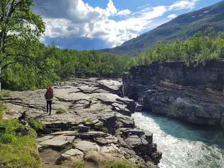
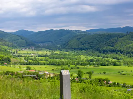
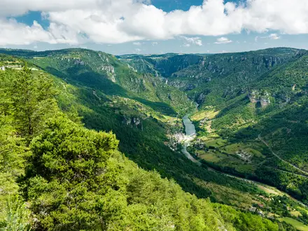
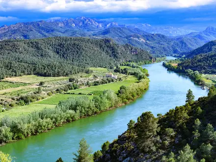
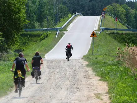
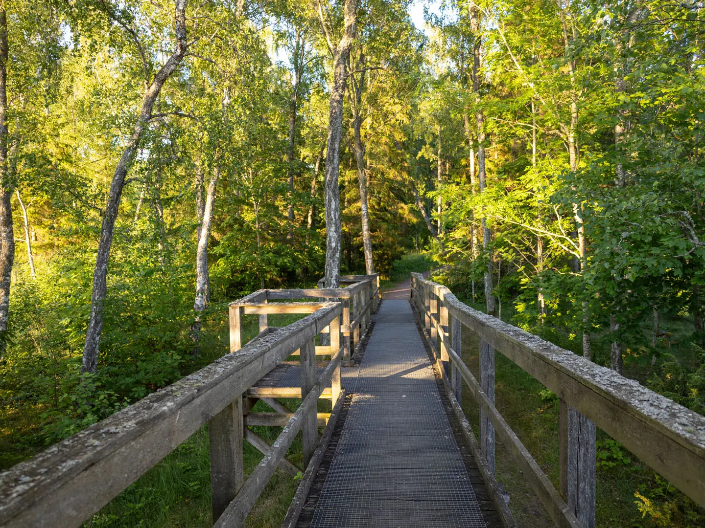
Östgötaleden is a region-wide hiking network in Östergötland, Sweden, not a single point-to-point trail. It covers about 1,500 km across all 13 municipalities, with 140+ orange-waymarked stages and more than 55 circular loops. Most walks are easy to moderate lowland routes through forest, oak pasture, plains, lakeshore and Baltic archipelago terrain. Duration depends entirely on your plan: choose a short day loop, link stages for a multi-day trip, or build a much longer thru-walk.
Route Overview
There is no fixed start or finish. Key hubs and waypoints include Linköping, Norrköping, Motala, Vadstena, Söderköping and the Omberg ridge between Ödeshög, Omberg and Vadstena. Walkers usually choose a signed stage, a circular loop, or a linked section; long continuous walks are possible but are self-planned. The network connects north-east to Sörmlandsleden and south to Tjustleden, Höglandsleden and Sevedeleden, and shares sections with the Klosterleden pilgrim route. Part of Östgötaleden also forms the Swedish E6 path, linking with trails including Hallandsleden. For a more linear Swedish long trail, compare Bergslagsleden or the coastal Bohusleden.
How the Östgötaleden developed
Östgötaleden grew as a regional leder network across Östergötland’s municipalities and is coordinated by Region Östergötland. It has expanded from the older figure of around 120 Swedish mil, or 1,200 km, to more than 150 mil, or about 1,500 km, of waymarked routes. New loops continue to be added, including the Mjölby–Sya loop opened in summer 2020. A section was also incorporated into the pan-European E6 long-distance path.
Notable highlights
Omberg ridge: A forested ridge between Lake Vättern and Lake Tåkern. The Ödeshög–Omberg–Vadstena section is a Swedish Tourist Association Signaturled, with ancient remains, legends and walking suitable for beginners and experienced hikers.
The oak landscape, eklandskapet: South of Linköping around Bjärka-Säby and Vidingsjö, the route passes ancient grazed oak pasture-woodland. It is one of the network’s most distinctive lowland environments.
Lake Tåkern: A shallow Ramsar wetland and nature reserve near Omberg, known for waterfowl and reed-bed birds. Western stages bring hikers close to this important bird lake.
Lake Vättern shore and Vadstena: Stages follow the eastern side of Vättern, Sweden’s second-largest lake, with open water views and access to Vadstena. The town is linked to St Birgitta’s abbey, Vadstena Abbey, and a Renaissance castle.
Östergötland archipelago: Eastern stages around Söderköping and Sankt Anna reach Baltic coastal forest, islets and sea views. It gives the network a very different feel from the inland plains and conifer forests.
Kolmården forest: The northern forested upland around Norrköping offers wilder, hillier walking. Some places include via-ferrata-style scrambling sections.
Challenges to expect
The main challenge is planning, not altitude: Östgötaleden is a large network, so you must choose stages, loops, accommodation and exit points yourself. Waymarking is orange and often clear, but carry maps or GPX for long linked sections. Terrain is mostly gentle, yet forest, wetland, archipelago and minor-road links vary underfoot. Shelters are free but first-come, first-served; services depend on the section.
HikeList Score
Östgötaleden scored 85/100 on HikeList's trail-quality metrics.
See score breakdownHide breakdown
- Ideal length 62
- Balanced challenge 90
- Scenery & wildness 85
- Varied terrain 94
- Accommodation 92
- Food & support 88
- Path quality 98
- Season flexibility 89
Computed from length, challenge, scenery & wildness, terrain variety, accommodation, food & support, path quality and season flexibility.
 Sweden
Show more data Show less
- Forest
- Lowland
- Coastal
- Wetland
- Lakeside
- Plain
- Footpaths
- Gravel
- Minor Roads
- Wind Shelters
- Hostels
- Hotels
- Wild Camping Spots
- Family Friendly
- Pet Friendly
- Restrooms
- Water Sources
- Campsites
- Shelters
- Picnic Areas
Photos from hikers
Taken on the trail by people who've reviewed Östgötaleden.
Reviews
How would you rate Östgötaleden?
Tap a star to start your review — you could be the first.