GR7
How would you rate GR7?
Tap a star to share your experience and help other hikers.
GR7: Vosges-to-Pyrenees Thru-Hike
HikeList Score
GR7 scored 79/100 on HikeList's trail-quality metrics.
See score breakdownHide breakdown
- Ideal length 52
- Balanced challenge 84
- Scenery & wildness 98
- Varied terrain 71
- Accommodation 75
- Food & support 81
- Path quality 98
- Season flexibility 89
Computed from length, challenge, scenery & wildness, terrain variety, accommodation, food & support, path quality and season flexibility.
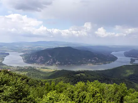
The GR7 is a 1,500 km waymarked thru-hike across France, running diagonally from the Ballon d'Alsace in the Vosges to the Portella Blanca d'Andorra on the Pyrenean border. Allow about 60 days. It is a hard point-to-point route: not technical climbing, but long mountain days, roughly 37,300 m of ascent, remote sections and regular resupply planning. It suits experienced long-distance hikers who want a full-country traverse following the Atlantic–Mediterranean watershed and the French line of the E4.
Route Overview
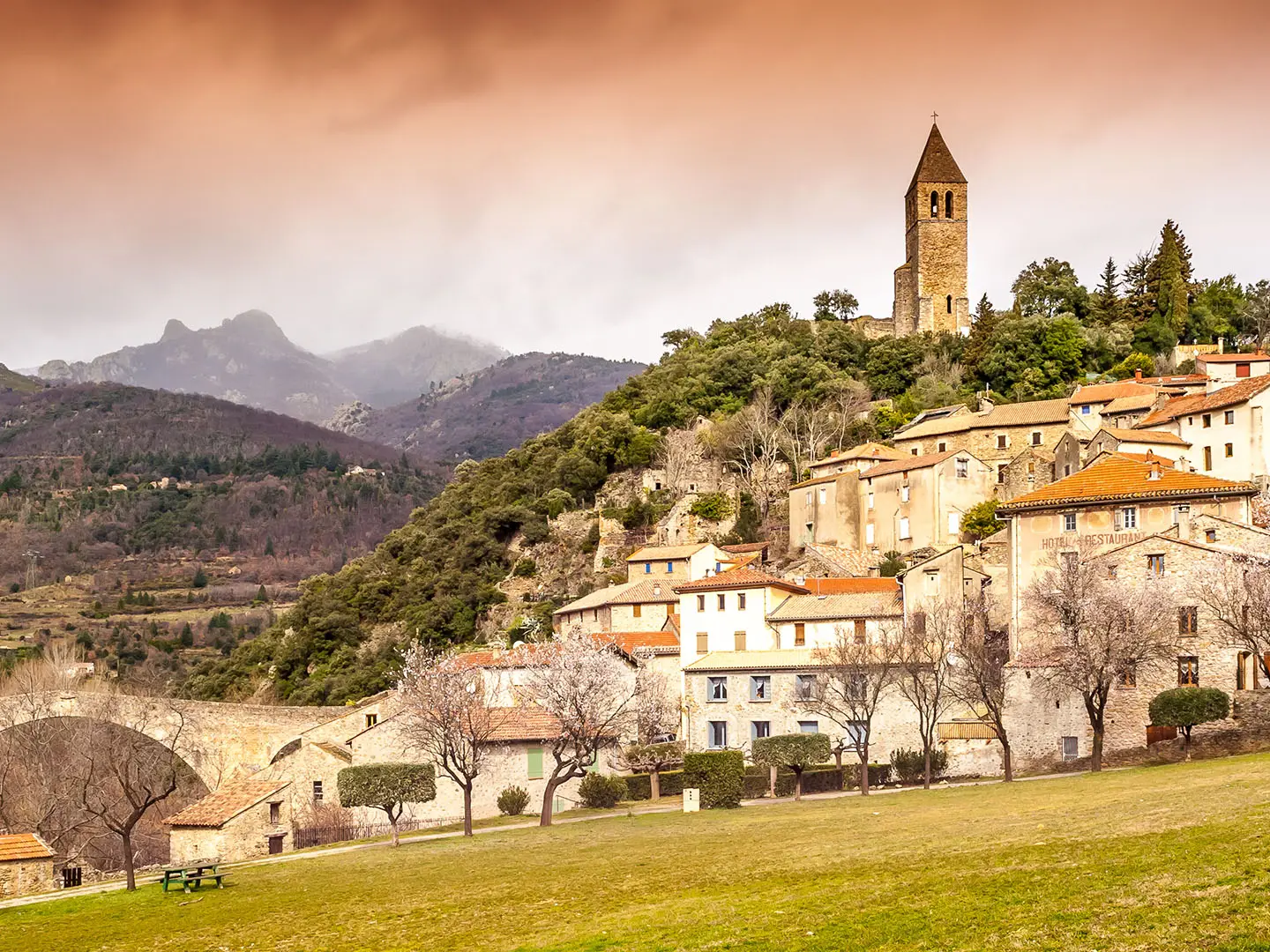
Officially the GR7 runs north to south from the Ballon d'Alsace, within the Parc naturel regional des Ballons des Vosges, to the Portella Blanca d'Andorra on the France-Spain-Andorra border. The line crosses the southern Vosges, Langres plateau, southern Burgundy, Beaujolais and Lyonnais hills, Pilat, Monts d'Ardeche, Cevennes, Grands Causses, Larzac, Haut-Languedoc, Montagne Noire, Ariege and the Pyrenees. It is a single point-to-point route, waymarked with white-and-red GR blazes. Plan transport to and from the two ends, plus accommodation and food stops stage by stage. For shorter trips in the northern start area, see the Ballons des Vosges Park Trails; for a gentler lowland comparison near Castelnaudary, see the Canal du Midi Towpath.
History of the GR7
The GR7 was conceived in 1972 by Paul Cabouat, then vice-president of France's national long-distance footpath committee. The idea was a great diagonal route from the Vosges to the Pyrenees, broadly following the ligne de partage des eaux between the Atlantic/Channel and Mediterranean basins. It now forms the French section of the European long-distance path E4. South of the border, the Spanish GR7 continues through Catalonia and Andalucia to Tarifa near Gibraltar.
Notable highlights
Ballon d'Alsace (1,247 m): The rounded Vosges summit marks the northern terminus of the GR7, inside the Parc naturel regional des Ballons des Vosges, with broad views across the range.
Mont Mezenc and Mont Gerbier-de-Jonc: These volcanic summits in the Monts d'Ardeche are among the route's memorable high points; Gerbier-de-Jonc is known as one of the sources of the River Loire.
Mont Lozere (1,699 m): The route crosses open moorland on the highest granite massif of the Cevennes National Park, on ground historically used by summer droving routes.
Mont Aigoual: A landmark Cevennes peak with a historic meteorological observatory and notably changeable weather, reached on one of the route's exposed mountain sections.
Cirque de Navacelles: A deep meander cut into the Larzac limestone plateau by the River Vis, listed among France's Grands Sites.
Cathar country and the Pyrenees: Near the southern end, the GR7 passes through the Ariege around Mirepoix and Foix before climbing to the Portella Blanca d'Andorra. For another Pyrenean hiking focus, compare the Cirque de Gavarnie Trails.
Challenges to expect
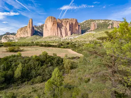
Expect sustained mountain walking rather than technical climbing. The difficulty comes from the length, repeated 20-25 km days, about 37,300 m of ascent and stretches far from road access. Surfaces include footpaths, forest tracks, drailles, gravel and rocky sections, with more technical ground in the Caroux and Pyrenees. Snow can linger on high sections into early summer; southern causses can be hot in summer. If you want a shorter mountain GR comparison, see the Chartreuse Trail (GR9 Segment).
HikeList Score
GR7 scored 79/100 on HikeList's trail-quality metrics.
See score breakdownHide breakdown
- Ideal length 52
- Balanced challenge 84
- Scenery & wildness 98
- Varied terrain 71
- Accommodation 75
- Food & support 81
- Path quality 98
- Season flexibility 89
Computed from length, challenge, scenery & wildness, terrain variety, accommodation, food & support, path quality and season flexibility.
 France
Show more data Show less
- Mountainous
- Forest
- Dirt
- Rocky
- Gravel
- Huts
- Hotels
- Campsites
- Pet Friendly
- Water Sources
- Campsites
- Shelters
Photos from hikers
Taken on the trail by people who've reviewed GR7.
Reviews
How would you rate GR7?
Tap a star to start your review — you could be the first.