Table Mountains Trail
How would you rate Table Mountains Trail?
Tap a star to share your experience and help other hikers.
Table Mountains Trail: Karłów Loop to Szczeliniec Wielki
HikeList Score
Table Mountains Trail scored 78/100 on HikeList's trail-quality metrics.
See score breakdownHide breakdown
- Ideal length 55
- Balanced challenge 100
- Scenery & wildness 71
- Varied terrain 89
- Accommodation 66
- Food & support 88
- Path quality 92
- Season flexibility 89
Computed from length, challenge, scenery & wildness, terrain variety, accommodation, food & support, path quality and season flexibility.
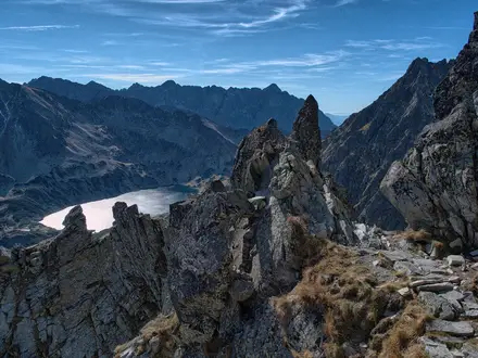
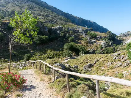
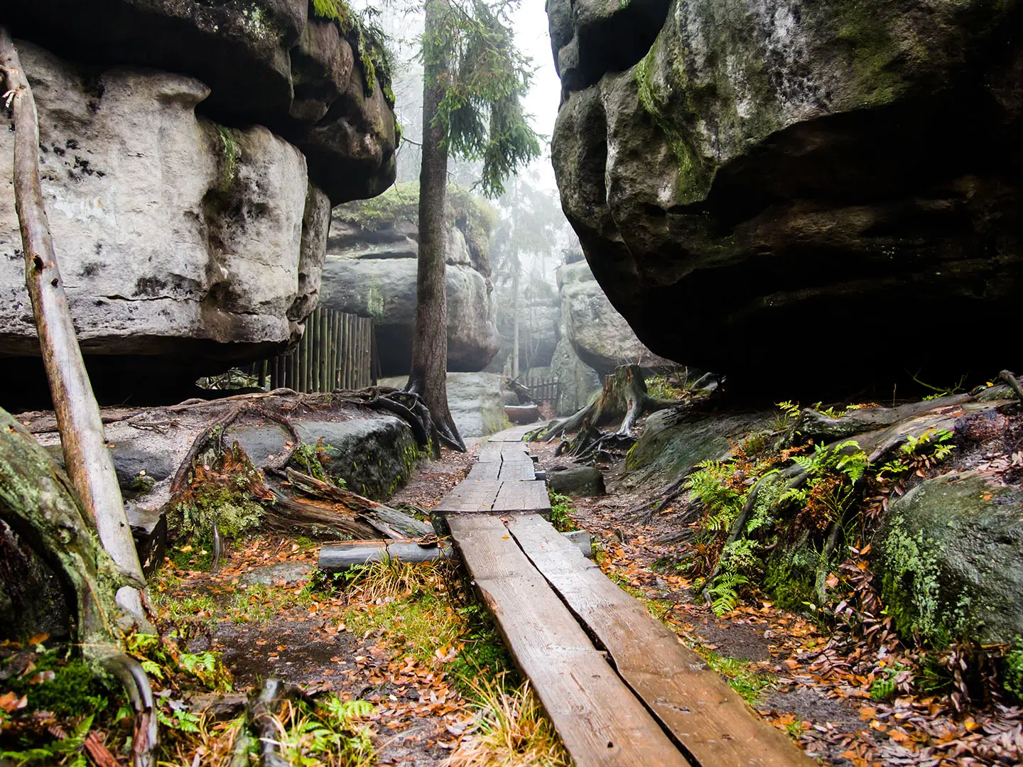
The Table Mountains Trail is a moderate 1-day loop in Stołowe Mountains National Park, Lower Silesia, south-west Poland, close to the Czech border. The popular Karłów circuit is about 8 km and takes roughly 4–5 hours, including the Szczeliniec Wielki summit circuit. It suits hikers who want a compact mountain day with unusual sandstone terrain: forest paths, gravel tracks, about 680 stone steps, narrow rock passages and viewpoint ledges rather than a long high-altitude trek.
Route Overview
Start and finish in Karłów, the village below Szczeliniec Wielki and the shortest approach to the summit. The classic loop climbs by the historic stone stairway to the 919 m Szczeliniec Wielki plateau, passes the PTTK shelter “Na Szczelińcu”, then follows the one-way summit circuit through the Piekiełko rock labyrinth and named formations such as Małpolud and the Camel before returning by marked forest and gravel paths. Błędne Skały and Skalne Grzyby can be linked on longer 22–28 km day routes. For a longer Polish ridge walk compare the Karkonosze Ridge Trail; for Tatra day hikes, see the Giewont Summit Trail and Five Lakes Valley Trail.
Sandstone, Steps and Early Mountain Guiding
The Table Mountains are made of Upper Cretaceous marine sandstones laid down about 70–90 million years ago. Uneven erosion of harder and softer layers created the flat-topped massifs, towers, mushrooms and maze-like clefts that define the route. Stołowe Mountains National Park was established in 1993 and covers about 63 km². The Szczeliniec Wielki stairway was opened and marked around 1790 by Franz Pabel of Karłów, widely regarded as one of Europe’s first officially appointed mountain guides; Goethe visited the region the same year.
Notable highlights
- Szczeliniec Wielki (919 m): The highest peak of the Table Mountains and the main objective from Karłów. The route climbs about 680 stone steps to a sandstone plateau with viewpoints over the Kłodzko Valley.
- Piekiełko rock labyrinth: The one-way summit circuit threads through narrow clefts and uneven passages on Szczeliniec Wielki. It is the most distinctive section of the walk and can feel tight in places.
- Błędne Skały (Errant Rocks): A celebrated sandstone maze with a marked one-way path squeezing between blocks, maces and mushroom-like forms. It is usually visited as a separate or longer linked route.
- Skalne Grzyby (Rock Mushrooms): A scattered group of mushroom-shaped sandstone outcrops on the forested plateau, formed where softer rock eroded faster beneath harder caps.
- Named formations: The Szczeliniec plateau includes weathered rocks known as the Monkey Man (Małpolud) and the Camel, useful landmarks on the summit circuit.
Challenges to expect
The walk is moderate rather than long: the main effort is the sustained climb of about 680 stone steps to Szczeliniec Wielki. Expect narrow, uneven rock passages, metal stairs and platforms, and slippery conditions in cold or wet weather. In season, timed tickets are required and summer weekends can mean long parking waits. In winter the upper routes can be snowbound, with lingering snow in cold fissures.
HikeList Score
Table Mountains Trail scored 78/100 on HikeList's trail-quality metrics.
See score breakdownHide breakdown
- Ideal length 55
- Balanced challenge 100
- Scenery & wildness 71
- Varied terrain 89
- Accommodation 66
- Food & support 88
- Path quality 92
- Season flexibility 89
Computed from length, challenge, scenery & wildness, terrain variety, accommodation, food & support, path quality and season flexibility.
 Poland
Show more data Show less
- Forest
- Sandstone Plateau
- Rock Labyrinths
- Forest Paths
- Gravel Roads
- Stone Steps
- Metal Stairs/Platforms
- Rock Passages
- Guesthouses
- Huts
- Family Friendly
- Pet Friendly
- Restrooms
- Water Sources
- Campsites
- Shelters
- Picnic Areas
Photos from hikers
Taken on the trail by people who've reviewed Table Mountains Trail.
Reviews
How would you rate Table Mountains Trail?
Tap a star to start your review — you could be the first.