Mare a Mare Sud
How would you rate Mare a Mare Sud?
Tap a star to share your experience and help other hikers.
Mare a Mare Sud: Corsica’s Shortest Sea-to-Sea Walk
HikeList Score
Mare a Mare Sud scored 83/100 on HikeList's trail-quality metrics.
See score breakdownHide breakdown
- Ideal length 85
- Balanced challenge 100
- Scenery & wildness 98
- Varied terrain 83
- Accommodation 49
- Food & support 65
- Path quality 98
- Season flexibility 89
Computed from length, challenge, scenery & wildness, terrain variety, accommodation, food & support, path quality and season flexibility.
The Mare a Mare Sud is a 67 km, 5-day, moderate point-to-point trail across southern Corsica, linking Porto-Vecchio on the Tyrrhenian coast with Propriano on the Gulf of Valinco. It is the shortest and easiest of Corsica’s three sea-to-sea Mare a Mare routes, but still gains about 3,950 m over five stages. Expect maquis, pine forest, granite uplands and Alta Rocca villages. It suits occasional hikers who are comfortable with 4–6.5 hour days on stony paths in France.
Route Overview
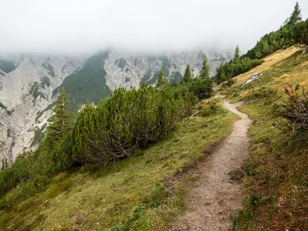
This is an east-to-west coast-to-coast walk from Porto-Vecchio to Propriano/Burgo. Stage 1 climbs steeply to the Cartalavonu plateau, the trail’s high point at about 1,022 m, before the route drops towards the Ospedale forest and the Alta Rocca. The middle stages link Levie, Serra-di-Scopamena and Sainte-Lucie-de-Tallano, passing Cucuruzzu and Capula, chestnut country, river pools and views of the Aiguilles de Bavella. The final stage goes via Fozzano towards the Gulf of Valinco, finishing at Burgo just outside Propriano, where the route links to the Mare e Monti Sud. For mainland comparisons, see the Chartreuse Trail GR9 segment, Cirque de Gavarnie Trails or the gentler Canal du Midi Towpath.
Old Mule Paths Through the Alta Rocca
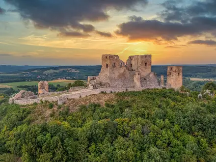
The Mare a Mare routes were developed by Corsica’s regional natural park, the PNRC, to link the island’s two coasts on old transhumance and mule paths. These tracks once connected inland villages with the shore for moving livestock and goods. The southern route crosses the Alta Rocca, an area rich in prehistoric and medieval sites, including the Cucuruzzu and Capula archaeological sites near Levie.
Notable highlights
- Cucuruzzu and Capula archaeological sites: Bronze Age fortified settlements on the Levie plateau, passed on stage 3. The Cucuruzzu casteddu dates to roughly 1800–800 BC and was discovered in 1959; there is a small entry charge for the archaeological park.
- Cartalavonu plateau and Ospedale forest: The main trail’s high point is around 1,022 m at Cartalavonu, above Porto-Vecchio. The descent leads past the Ospedale forest and lake area towards the Alta Rocca.
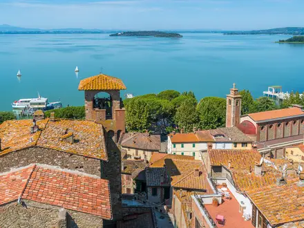
- Alta Rocca villages: Levie, Quenza, Serra-di-Scopamena and Sainte-Lucie-de-Tallano give the route its village-to-village character. Sainte-Lucie-de-Tallano is noted for olive-oil heritage and medieval stone architecture.
- Chestnut heritage at Serra-di-Scopamena: The area’s traditional chestnut economy is reflected in a chestnut-drying house, water mill and old chestnut mill.
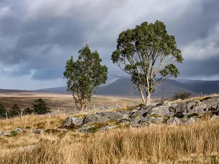
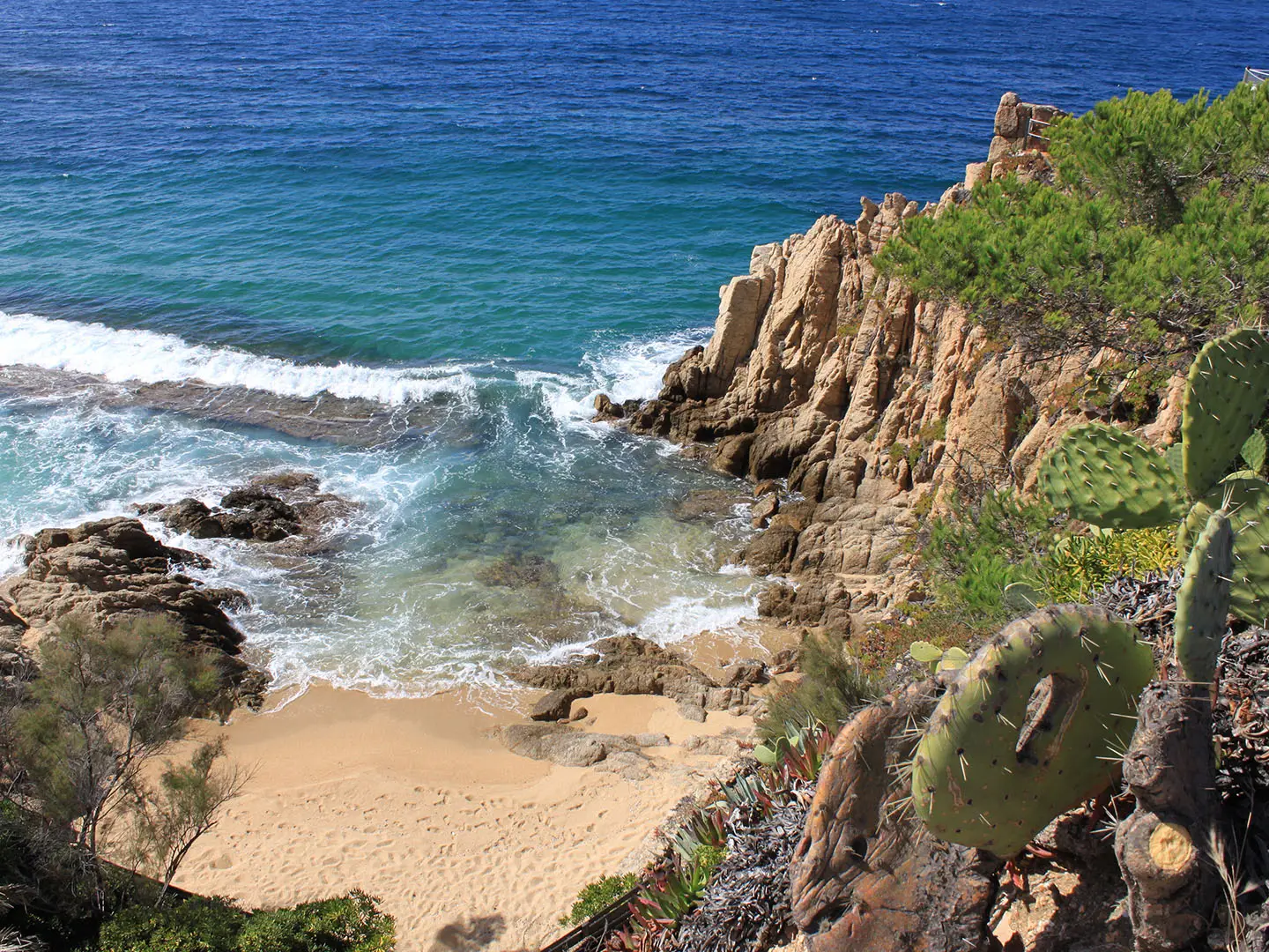
- Views of the Aiguilles de Bavella: The jagged Bavella needles are visible from the central stages. The route also gives coastal panoramas over the Gulf of Porto-Vecchio and, near the finish, the Gulf of Valinco.
- Fozzano: A historic village on the final stage, associated with a 19th-century Corsican vendetta said to have inspired Prosper Mérimée’s novella Colomba.
Challenges to expect
There is no technical difficulty, but the Mare a Mare Sud is not a flat village stroll: total ascent is about 3,950 m, with daily gains spread across five stages. Surfaces are mostly stony paths and forest tracks, with short rocky passages needing care. Spring and autumn are the mildest seasons; winter is discouraged because some gites close and snow can block higher passes. Accommodation is mainly in gites d’étape, with bivouac tightly regulated.
HikeList Score
Mare a Mare Sud scored 83/100 on HikeList's trail-quality metrics.
See score breakdownHide breakdown
- Ideal length 85
- Balanced challenge 100
- Scenery & wildness 98
- Varied terrain 83
- Accommodation 49
- Food & support 65
- Path quality 98
- Season flexibility 89
Computed from length, challenge, scenery & wildness, terrain variety, accommodation, food & support, path quality and season flexibility.
 France
Show more data Show less
- Coastal
- Forest
- Mountainous
- Rocky
- Dirt
- Gravel
- Huts
- Family Friendly
- Pet Friendly
- Water Sources
- Campsites
- Shelters
Photos from hikers
Taken on the trail by people who've reviewed Mare a Mare Sud.
Climbs about 1,130 m in roughly 5 hours through maquis and maritime-pine forest to the Cartalavonu plateau, around 1,022 m, with views over the Gulf of Porto-Vecchio.
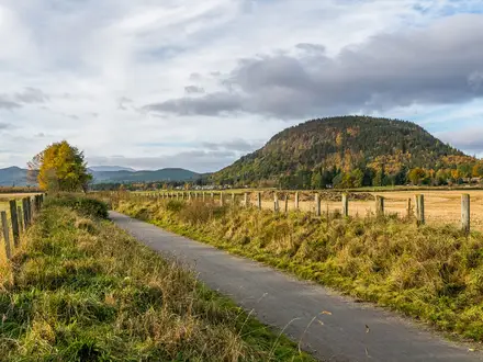
A roughly 5-hour stage with about 670 m of ascent, descending past the Ospedale forest and lake area into the Alta Rocca, with views over southern Corsica.
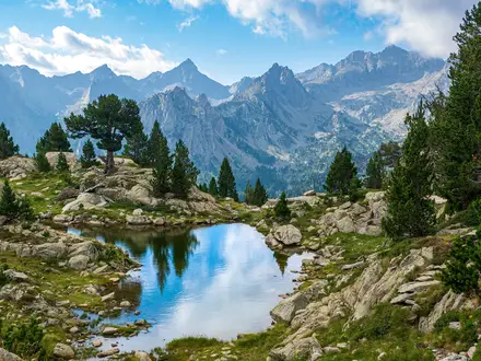
The longest stage, taking about 6–6.5 hours with around 900 m of ascent. It passes Cucuruzzu and Capula, oak and chestnut forests, river pools and views of the Aiguilles de Bavella.
A shorter 4–5 hour day with about 570 m of ascent, descending into the Rizzanese valley with spring water and swimming spots.
A roughly 6-hour final stage with about 710 m of ascent, following forest paths via Fozzano and finishing near Propriano with panoramas over the Gulf of Valinco.
Reviews
How would you rate Mare a Mare Sud?
Tap a star to start your review — you could be the first.