Deeside Way
How would you rate Deeside Way?
Tap a star to share your experience and help other hikers.
Deeside Way: Aberdeen to Ballater on the Old Railway
HikeList Score
Deeside Way scored 84/100 on HikeList's trail-quality metrics.
See score breakdownHide breakdown
- Ideal length 70
- Balanced challenge 100
- Scenery & wildness 85
- Varied terrain 83
- Accommodation 83
- Food & support 88
- Path quality 80
- Season flexibility 89
Computed from length, challenge, scenery & wildness, terrain variety, accommodation, food & support, path quality and season flexibility.
The Deeside Way is a 66 km point-to-point trail in Aberdeenshire, Scotland, from Aberdeen to Ballater on the edge of the Cairngorms National Park. Usually walked west from Duthie Park to Ballater Station Square, it takes about 3 days, or 3–4 at a gentler pace. Difficulty is moderate: the route is mostly low-level, waymarked and on the former Royal Deeside Railway, but the distance and the Banchory–Aboyne diversion add effort. It suits walkers, cyclists and, in parts, horse riders.
Route Overview
The route starts at Duthie Park in Aberdeen, near the River Dee, and finishes at the restored railway station in Ballater. It follows the old railway alignment through Peterculter, Drumoak, Crathes and Banchory, then diverts on forest tracks, minor roads and field-edge paths via Kincardine O'Neil before rejoining easier going towards Aboyne, Cambus o' May and Ballater. It is a point-to-point route and part of NCN Route 195, so plan your return from Ballater. The common walking breakdown is Aberdeen–Drumoak, Drumoak–Banchory, Banchory–Aboyne and Aboyne–Ballater. Comparing Scottish routes? See the Arran Coastal Way, Annandale Way or Ayrshire Coastal Path.
From Royal Deeside Line to Long-Distance Trail
The Deeside Railway opened on 8 September 1853 and was extended to Ballater in 1866. Used by the Royal Family travelling to Balmoral, it became known as the Royal Deeside Line before closing in stages in 1966–67. The walking and cycling route was conceived around 2000, after an earlier feasibility study, and was built in stages along the old line and through landowner agreements. Today it is managed by Aberdeenshire and Aberdeen City councils with Sustrans.
Notable highlights
Crathes Castle (16th-century tower house): A National Trust for Scotland castle close to the trail near Crathes, known for its painted ceilings and historic walled gardens.
Drum Castle (medieval keep near Drumoak): One of Scotland's oldest tower houses, set just off the route near Drumoak, its keep granted to the Irvine family by Robert the Bruce.
Royal Deeside Railway, Milton of Crathes: A preserved section of the old railway where heritage steam and diesel trains run in season, making the route's railway history tangible.
Cambus o' May suspension bridge: A white footbridge spanning the River Dee between Dinnet and Ballater, and a clear landmark on the final approach.
River Dee and Cairngorms backdrop: The trail follows the Dee valley for much of its length, with the Cairngorm foothills increasingly prominent as you head inland.
Ballater and Royal Deeside: The finish is a Victorian village and gateway to Balmoral, with a restored railway station connected to the area's royal railway history.
Challenges to expect
Expect mostly easy gradients, but not a uniformly flat rail trail. The Banchory–Aboyne section leaves the old line and uses forest tracks, minor roads and field-edge paths below Scolty Hill. There is also a roughly 1-mile gap in the official route east of Aboyne, where walkers use a permitted link. The valley is low-level, but winter can still bring cold, wet or icy conditions.
HikeList Score
Deeside Way scored 84/100 on HikeList's trail-quality metrics.
See score breakdownHide breakdown
- Ideal length 70
- Balanced challenge 100
- Scenery & wildness 85
- Varied terrain 83
- Accommodation 83
- Food & support 88
- Path quality 80
- Season flexibility 89
Computed from length, challenge, scenery & wildness, terrain variety, accommodation, food & support, path quality and season flexibility.
 United Kingdom
 Scotland
Show more data Show less
- Forest
- River Valley
- Farmland
- Gravel
- Dirt
- Paved
- Hotels
- Guesthouses
- Campsites
- Family Friendly
- Pet Friendly
- Restrooms
- Water Sources
- Campsites
- Picnic Areas
Photos from hikers
Taken on the trail by people who've reviewed Deeside Way.
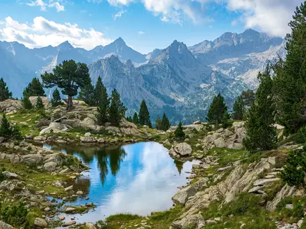
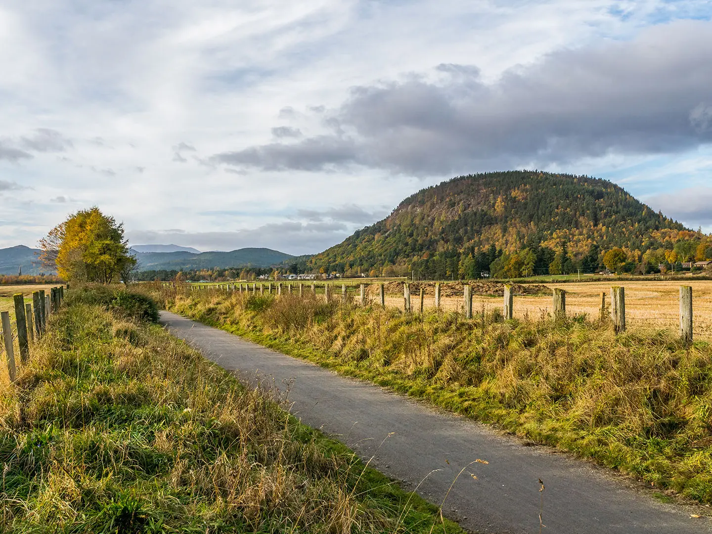
Start at Duthie Park in Aberdeen and follow the Deeside Way west along the former railway corridor towards Peterculter and Drumoak, near Drum Castle.
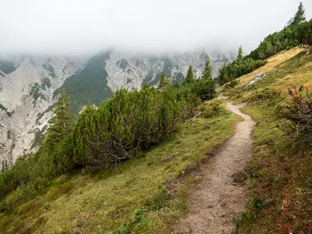
Continue through the Dee valley towards Crathes, passing close to Crathes Castle and Milton of Crathes before reaching Banchory.
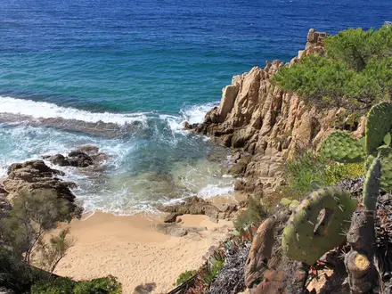
This is the more varied stage: the route leaves the railway alignment and climbs through woodland below Scolty Hill, using forest tracks, minor roads and field-edge paths via Kincardine O'Neil.
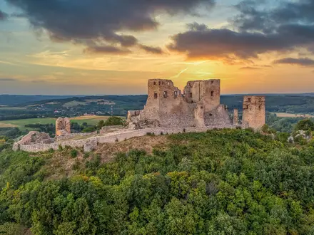
Head west from Aboyne through the Dee valley, passing Dess and Cambus o' May before finishing at Ballater Station Square and the restored railway station.
Reviews
How would you rate Deeside Way?
Tap a star to start your review — you could be the first.