Lötschental Panoramic Trail
How would you rate Lötschental Panoramic Trail?
Tap a star to share your experience and help other hikers.
Lötschental Panoramic Trail: Valais Balcony Walk
HikeList Score
Lötschental Panoramic Trail scored 83/100 on HikeList's trail-quality metrics.
See score breakdownHide breakdown
- Ideal length 55
- Balanced challenge 100
- Scenery & wildness 85
- Varied terrain 83
- Accommodation 92
- Food & support 81
- Path quality 98
- Season flexibility 76
Computed from length, challenge, scenery & wildness, terrain variety, accommodation, food & support, path quality and season flexibility.
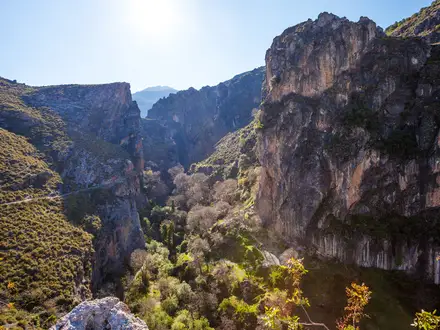
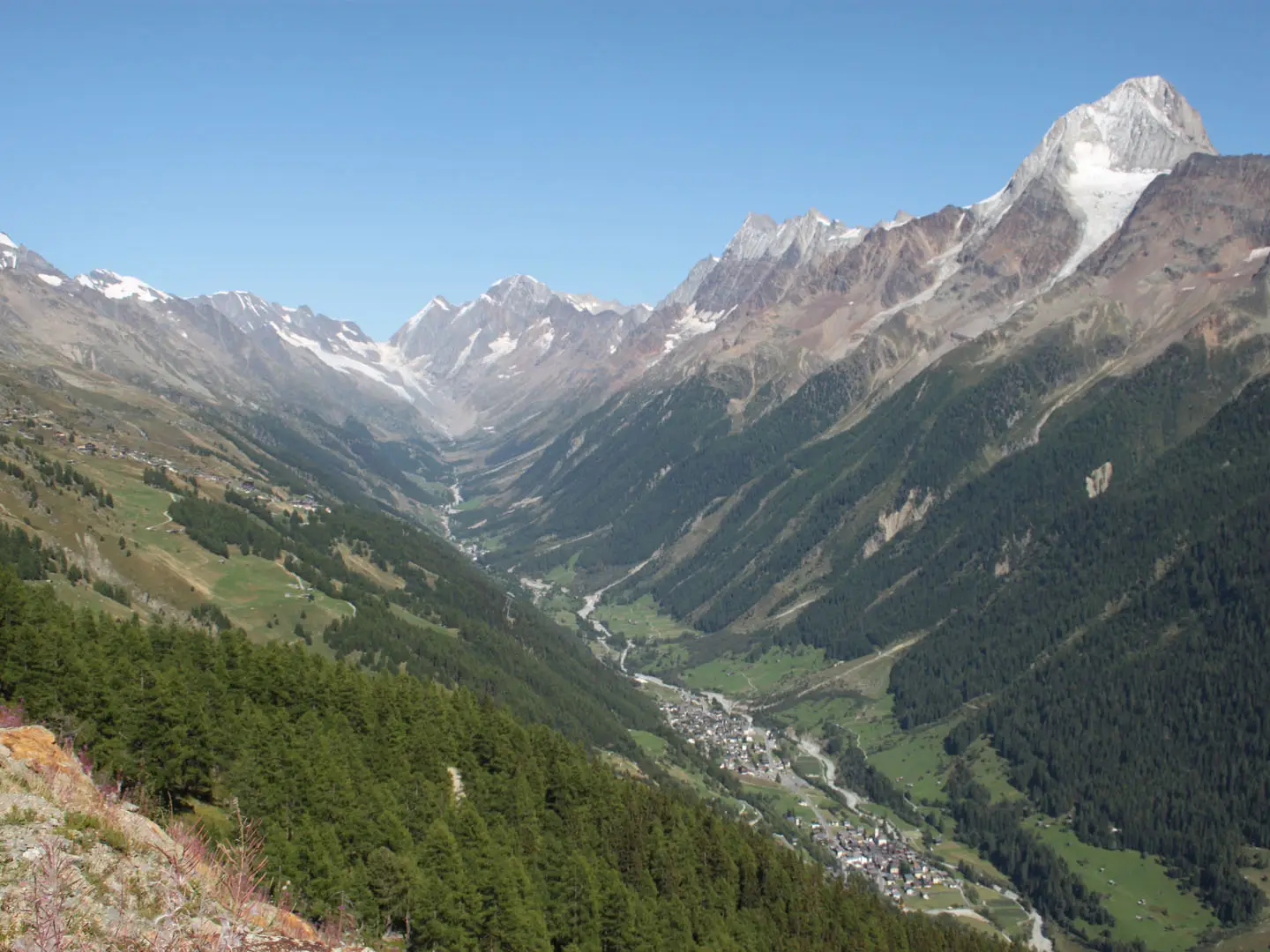
The Lötschental Panoramic Trail is a moderate 9.4 km point-to-point day hike in Valais, Switzerland, usually walked from Lauchernalp to Fafleralp. It follows the sunny northern side of the Lötschental at about 1,800–2,100 m, with broad mountain paths, larch forest, alpine meadows and big views to the Bietschhorn, Petersgrat and Langgletscher. Allow around half a day: official time is 2:40 h, or longer with stops. It suits families and steady hikers who want scenery without technical terrain.
Route Overview
Start at Lauchernalp, the top station of the cable car from Wiler at 1,969 m. From there the waymarked Swiss yellow trail runs mostly level or gently downhill via Weritzalp and Tellialp, an alp with a mountain restaurant roughly halfway along. Continue through forest and meadow to Schwarzsee, the classic rest and picnic stop, then on towards Faflersee / Grundsee and the valley-head finish at Fafleralp bus stop and car park. The standard direction is Lauchernalp to Fafleralp because it loses height overall. For bigger Swiss panorama days, compare the Aletsch Glacier Panorama Trail, the Aletsch Glacier UNESCO Trail or the longer Alpine Pass Route (Route 6).
Lötschental history and culture
The Lötschental is the largest valley on the north side of the Rhône in canton Valais, running from the Lötschenlücke above the Langgletscher down towards Gampel/Steg. Probably settled since Roman times, it remained relatively isolated until the early 20th century, helping preserve a distinctive local culture. Its best-known tradition is the Tschäggättä: fur-clad carnival figures wearing carved wooden masks, first documented in a Kippel church chronicle of 1860. The southern and eastern parts of the valley lie within the UNESCO Swiss Alps Jungfrau-Aletsch World Heritage Site.
Notable highlights
- Schwarzsee: A small dark alpine lake reached about two hours into the walk. It is the trail’s classic picnic and rest stop, with peak reflections in calm weather.
- Bietschhorn (3,934 m): The sharp horn dominating the southern skyline of the Lötschental. It is the valley’s highest summit and a landmark of the UNESCO Jungfrau-Aletsch area.
- Petersgrat glacier (3,205 m): A broad glaciated ridge on the opposite side of the valley. It stays in view for much of the route and adds a high-alpine backdrop to this otherwise non-technical walk.
- Larch and arolla-pine forests: The path threads sunny conifer woodland and open alpine meadows. Late October to early November is especially popular when the larches turn gold.
- Lötschental legend trail: Ten story boards along the route retell old valley legends, making the hike more engaging for families.
- Fafleralp: The meadow basin at the head of the valley and the trail’s endpoint. It is also a gateway area for views towards the Langgletscher.
Challenges to expect
This is not a technical trail, but it is still a mountain walk at roughly 1,800–2,100 m, so weather can change quickly and early/late-season snow can affect conditions. The surface is mostly dirt mountain path with some gravel alp tracks, not suitable for pushchairs. Sure-footedness helps on the gentle ups and downs. Check the Lauchernalp cable car and Fafleralp bus times before starting.
HikeList Score
Lötschental Panoramic Trail scored 83/100 on HikeList's trail-quality metrics.
See score breakdownHide breakdown
- Ideal length 55
- Balanced challenge 100
- Scenery & wildness 85
- Varied terrain 83
- Accommodation 92
- Food & support 81
- Path quality 98
- Season flexibility 76
Computed from length, challenge, scenery & wildness, terrain variety, accommodation, food & support, path quality and season flexibility.
 Switzerland
Show more data Show less
- Mountainous
- Forest
- Alpine Meadows
- Dirt
- Gravel
- Natural Mountain Path
- Hotels
- Guesthouses
- Chalets
- Mountain Restaurants
- Family Friendly
- Pet Friendly
- Restrooms
- Water Sources
- Picnic Areas
Photos from hikers
Taken on the trail by people who've reviewed Lötschental Panoramic Trail.
Reviews
How would you rate Lötschental Panoramic Trail?
Tap a star to start your review — you could be the first.