Ruta de los Cahorros
How would you rate Ruta de los Cahorros?
Tap a star to share your experience and help other hikers.
Ruta de los Cahorros: Monachil Gorge Day Hike
HikeList Score
Ruta de los Cahorros scored 78/100 on HikeList's trail-quality metrics.
See score breakdownHide breakdown
- Ideal length 55
- Balanced challenge 100
- Scenery & wildness 85
- Varied terrain 83
- Accommodation 74
- Food & support 68
- Path quality 80
- Season flexibility 89
Computed from length, challenge, scenery & wildness, terrain variety, accommodation, food & support, path quality and season flexibility.
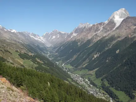
Ruta de los Cahorros is a waymarked PR-A 283 loop in Monachil, Granada, in the western foothills of the Sierra Nevada, Andalusia. The full circular walk is about 9.5 km, takes roughly 3–4 hours, and is best treated as a moderate half-day to day hike because of its rocky gorge terrain, suspension bridges, narrow railed ledges and low rock overhangs. It suits hikers wanting a short but hands-on canyon route close to Granada. See more routes in Spain.
Route Overview
The circular PR-A 283 starts and finishes in or near Monachil village, typically from the public car park by the Puente de los Nogales / Camino de la Hoya de la Mora. The route follows tracks and riverside path into the Río Monachil gorge, passing Los Cahorros, Tajo de las Palomas, Cueva de las Palomas, four suspension bridges, and the old hydroelectric weir and canal. The loop returns higher on the canyon rim via the Camino de la Solana / Vereda del Castillejo. Many walkers do only the shorter gorge out-and-back, but the waymarked route is a loop. For a longer Sierra Nevada trip, compare the Alpujarras Trail; for a coastal Spanish contrast, see the Camí de Ronda.
Hydroelectric history in Los Cahorros
The Río Monachil cut Los Cahorros through limestone in the lower spurs of the Sierra Nevada. Some of the route’s most recognisable features are tied to early-20th-century hydroelectric infrastructure: the local tramway power station, central eléctrica de los Tranvías, dates from 1907, and the longest suspension bridge plus the concrete weir and water channel served that scheme. A 2026 storm note reports damage to the gorge path after heavy rain, so check local conditions before setting out.
Notable highlights
- Suspension bridges: Four hanging footbridges cross the gorge; the longest is about 63 m and spans high above the river near a waterfall and weir. They are a defining feature of the PR-A 283.
- Cueva de las Palomas: This cave and rock-tunnel section squeezes the path under overhanging limestone. Expect to duck or crawl along a narrow railed ledge.
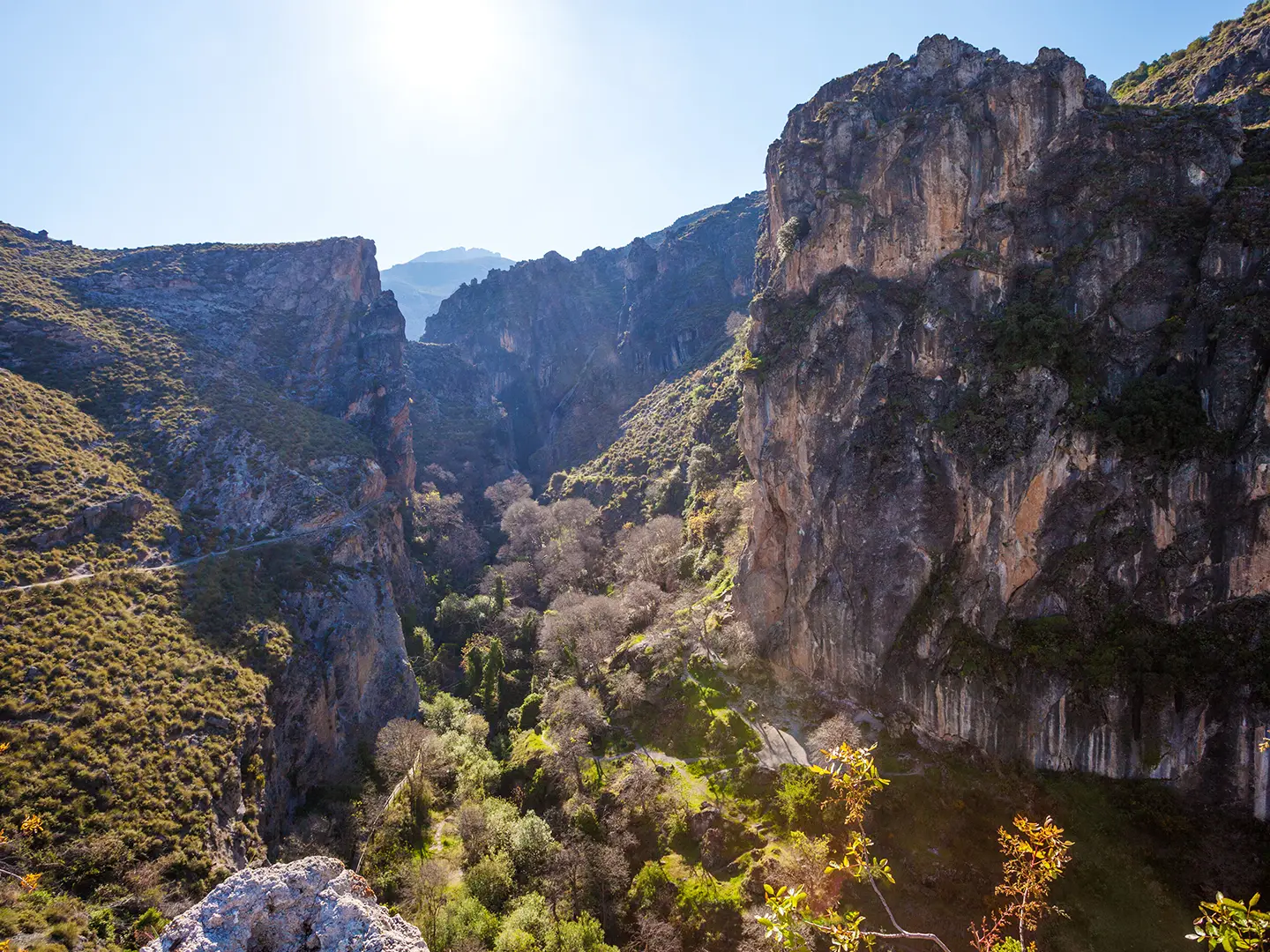
- Río Monachil gorge: Los Cahorros is a deep, narrow limestone gorge carved by the Río Monachil as it descends from the Sierra Nevada. Its canyon walls are also used for sport climbing.
- River pools and small waterfalls: Clear pools along the river are popular for a cooling swim in summer. They also make the gorge section feel very different from the drier rim path.
- Canyon-rim return: The loop climbs to the upper canyon path for views back down into the gorge. This gives the route a clear contrast between enclosed riverside walking and open rim terrain.
Challenges to expect
The distance is short, but the route is more than an easy stroll. Expect rocky riverside singletrack, narrow ledges with handrails, suspension bridges, low overhangs where you may need to crouch or crawl, and a steeper dirt return path on the canyon rim. Summer heat can be strong away from the river; winter may bring cold and ice in shaded sections. Check local conditions after heavy rain.
HikeList Score
Ruta de los Cahorros scored 78/100 on HikeList's trail-quality metrics.
See score breakdownHide breakdown
- Ideal length 55
- Balanced challenge 100
- Scenery & wildness 85
- Varied terrain 83
- Accommodation 74
- Food & support 68
- Path quality 80
- Season flexibility 89
Computed from length, challenge, scenery & wildness, terrain variety, accommodation, food & support, path quality and season flexibility.
 Spain
SpainShow more data Show less
- Gorge
- Riverside
- Canyon Rim
- Rocky
- Dirt
- Paved
- Hotels
- Hostels
- Family Friendly
- Pet Friendly
- Restrooms
- Picnic Areas
Photos from hikers
Taken on the trail by people who've reviewed Ruta de los Cahorros.
Reviews
How would you rate Ruta de los Cahorros?
Tap a star to start your review — you could be the first.