Ivanščica Mountain Trail
How would you rate Ivanščica Mountain Trail?
Tap a star to share your experience and help other hikers.
Ivanščica Mountain Trail: Summit Day Hike in Hrvatsko Zagorje
HikeList Score
Ivanščica Mountain Trail scored 77/100 on HikeList's trail-quality metrics.
See score breakdownHide breakdown
- Ideal length 55
- Balanced challenge 100
- Scenery & wildness 98
- Varied terrain 71
- Accommodation 49
- Food & support 65
- Path quality 98
- Season flexibility 89
Computed from length, challenge, scenery & wildness, terrain variety, accommodation, food & support, path quality and season flexibility.
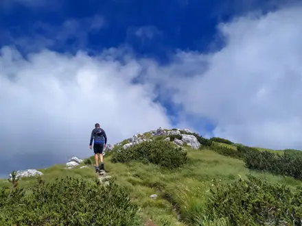
The Ivanščica Mountain Trail is a moderate 13 km day hike to Ivanščica, the 1,061 m high point of Hrvatsko Zagorje and north-western Croatia. The classic route climbs from Ivanec or Prigorec through forest to the Josip Pasarić mountain hut and the summit Pyramid lookout tower, then returns the same way. It suits fit walkers who want a sustained wooded ascent, waymarked Croatian mountain paths, spring water stops and a proper summit viewpoint without committing to a multi-day trek in Croatia.
Route Overview
The headline route is an out-and-back from Ivanec or the hamlet of Prigorec on the north side of Ivanščica. Four signed Ivanec-side trails reach the summit area: Prekrižje is the easiest, Konj and Mrzljak are shorter, and Pionir is the steepest and most demanding. Prekrižje and Pionir start from Repikovec car park; Mrzljak and Konj start from Žgano vino. Expect forest paths, springs at Žgano vino and Mrzljak, rest areas such as Šumi, then the Pasarićeva kuća hut and the 10 m iron Pyramid tower on top. Southern alternatives start from Lobor or Belec, linking castle ruins such as Oštrcgrad and Belecgrad. For contrasting Croatian routes, compare the Jankovac Forest Trail, Krka Waterfalls Trail or the long Adriatic Long-Distance Trail.
Ivanščica’s castles, karst and mountaineering history
Ivanščica is a partly karst massif of Mesozoic rock, including Middle and Upper Triassic carbonates and younger Neogene limestone, and acts as an important aquifer for northern Croatia. Its slopes also carry a chain of medieval fortified sites — Oštrcgrad, Belecgrad, Milengrad, Pusta Bela, Pusti Lobor and Grebengrad — built to guard estates and mountain passes. Organised hiking has a long presence here: Pasarićeva kuća was already attracting large visitor numbers by the 1935–36 season, and the routes are maintained today by HPD Ivančica.
Notable highlights
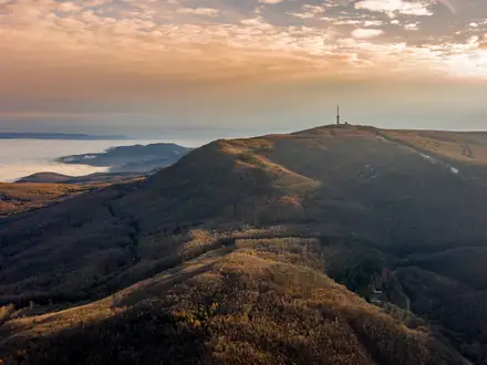
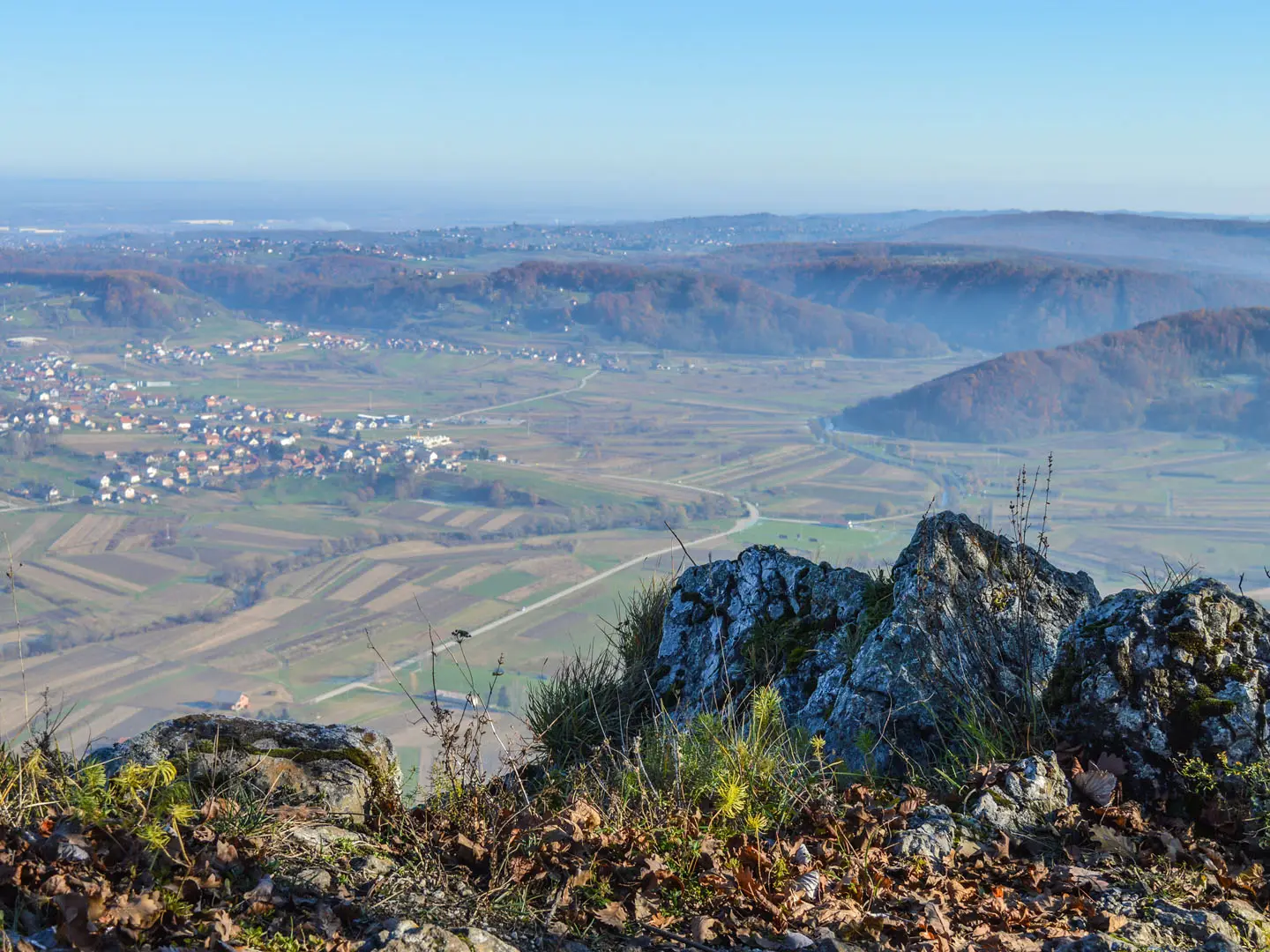
- Summit Pyramid lookout tower (1,061 m): A 10 m iron tower on the highest point of Hrvatsko Zagorje. From the top, views reach across Zagorje to Medvednica, Varaždin and the Drava plain, and on clear days as far as the Slovenian and Austrian Alps and Lake Balaton in Hungary.
- Pasarićeva kuća / Josip Pasarić mountain hut: The mountain hut just below the summit is the main rest and refreshment stop. It opens mainly at weekends, on holidays and by appointment.
- Žgano vino and Mrzljak springs: Maintained drinking-water springs and rest areas on the Ivanec ascent. The Mrzljak route also has wooden sculptures and storyboards.
- Oštrcgrad and Belecgrad castle ruins: Ruined medieval hilltop fortresses on the southern slopes, reached by longer approaches from Lobor and Belec.
- Milengrad: A 14th-century castle ruin near Grtovec and part of the “Old Towns of Ivanščica” route.
- Karst caves: Bračkova špilja, Karlova špilja and Generalka are among the caves formed in Ivanščica’s limestone slopes.
Challenges to expect
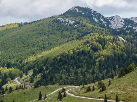
The main difficulty is the sustained climb: the Ivanec route gains about 830 m to a 1,061 m summit. Most walking is on forest paths, but expect rooty, rocky and steep sections, especially on Pionir and Mrzljak, where sure-footedness helps. Waymarking is generally good, but multiple signed routes mean you should know your chosen ascent. In winter, snow and ice can affect the wooded summit slopes.
HikeList Score
Ivanščica Mountain Trail scored 77/100 on HikeList's trail-quality metrics.
See score breakdownHide breakdown
- Ideal length 55
- Balanced challenge 100
- Scenery & wildness 98
- Varied terrain 71
- Accommodation 49
- Food & support 65
- Path quality 98
- Season flexibility 89
Computed from length, challenge, scenery & wildness, terrain variety, accommodation, food & support, path quality and season flexibility.
 Croatia
Show more data Show less
- Mountainous
- Forest
- Dirt
- Rocky
- Gravel
- Huts
- Family Friendly
- Pet Friendly
- Restrooms
- Water Sources
- Shelters
Photos from hikers
Taken on the trail by people who've reviewed Ivanščica Mountain Trail.
Reviews
How would you rate Ivanščica Mountain Trail?
Tap a star to start your review — you could be the first.