Hårteigen Peak Trail
How would you rate Hårteigen Peak Trail?
Tap a star to share your experience and help other hikers.
Hårteigen Peak Trail: Remote Hardangervidda Summit Hike
HikeList Score
Hårteigen Peak Trail scored 71/100 on HikeList's trail-quality metrics.
See score breakdownHide breakdown
- Ideal length 63
- Balanced challenge 84
- Scenery & wildness 71
- Varied terrain 83
- Accommodation 49
- Food & support 65
- Path quality 98
- Season flexibility 63
Computed from length, challenge, scenery & wildness, terrain variety, accommodation, food & support, path quality and season flexibility.
The Hårteigen Peak Trail is a hard, remote 27 km out-and-back summit hike in Hardangervidda National Park, Norway. The usual standalone ascent takes 2 days from Hjølmo car park via Torehytta DNT cabin, reaching Hårteigen’s 1,690 m flat-topped summit. It suits experienced mountain hikers who are comfortable with long plateau approaches, wet ground, river crossings, navigation on cairned routes and a short exposed roped scramble near the top. This is not a roadside day hike.
Route Overview
For the standalone route, start and finish at Hjølmo car park in Hjølmadalen, reached by a narrow gravel toll road from Øvre Eidfjord. The route climbs from the valley onto the Hardangervidda plateau, crosses open vidda terrain towards Torehytta DNT cabin at 1,330 m, then tackles Hårteigen from the cabin area. The final ascent follows cairns up a steep east-side rocky gully with fixed ropes/wires on the exposed step. Many hikers also climb Hårteigen as part of the longer Hardangervidda Traverse from Kinsarvik towards Trolltunga, but this page treats the dedicated summit trip as an out-and-back.
Hårteigen as a Hardangervidda Waymark
Hårteigen was first climbed on 18 August 1812 by the naturalists Christen Smith and J. F. Schouw with Nils Hertzberg. Long before recreational hiking, the mountain was an important orientation landmark for people crossing the broad, open Hardangervidda plateau. Its Norwegian name is thought to carry the sense of “the grey one that shows the way”. Today it lies inside Hardangervidda National Park and is reached via routes and cabins maintained by DNT, the Norwegian Trekking Association.
Notable highlights
- The summit of Hårteigen (1,690 m): A flat-topped, steep-sided peak rising above the Hardangervidda skyline. Reaching the top requires a steep rocky gully and a short exposed scramble protected by fixed ropes and wires.
- Landmark of the vidda: Hårteigen rises about 471 m above the surrounding plateau, making it visible from far across the vidda. It was historically used as a navigation point by travellers crossing Hardangervidda.
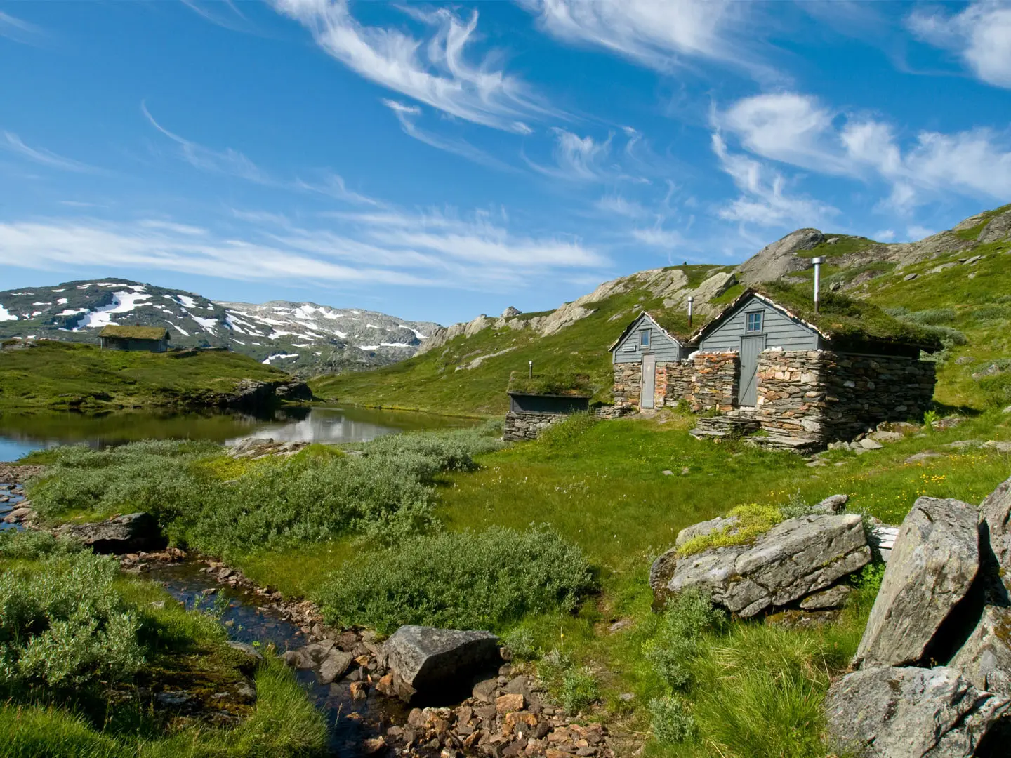
- Torehytta DNT cabin (1,330 m): The natural overnight base for the climb, sitting directly below the peak. It gives the route its classic Norwegian hut-to-hut feel without needing a hotel base.
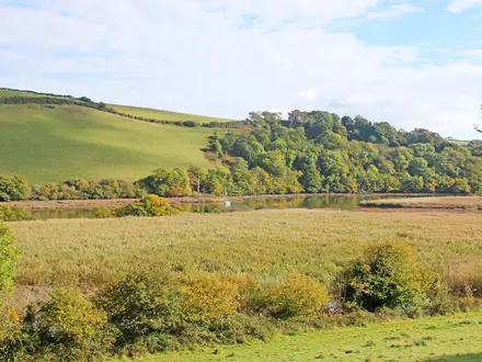
- Hardangervidda plateau: A vast high-mountain plateau and national park with open tundra, lakes, rivers and long distances between roads. The approach is a major part of the challenge.
- Husedalen waterfalls on the traverse route: If approaching from Kinsarvik on the cabin-to-cabin version, the trail climbs past four large waterfalls before reaching the plateau.
Challenges to expect
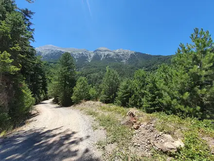
Expect a long, committing walk-in across treeless plateau terrain, with boggy ground, river crossings, rough paths and cairned navigation. Weather can change quickly and snowfields can linger into summer. The summit gully is steep, loose and exposed, with fixed ropes/wires on the crux — closer to scrambling than the cairn-marked walking of summits like Gaustatoppen or Galdhøpiggen. There are no shops or hotels in the interior; plan around DNT cabins, a tent, and self-sufficiency.
HikeList Score
Hårteigen Peak Trail scored 71/100 on HikeList's trail-quality metrics.
See score breakdownHide breakdown
- Ideal length 63
- Balanced challenge 84
- Scenery & wildness 71
- Varied terrain 83
- Accommodation 49
- Food & support 65
- Path quality 98
- Season flexibility 63
Computed from length, challenge, scenery & wildness, terrain variety, accommodation, food & support, path quality and season flexibility.
 Norway
Show more data Show less
- Mountain
- Alpine Plateau
- Scramble
- Rock
- Dirt
- Bog
- Mountain Huts
- Pet Friendly
- Water Sources
- Campsites
- Shelters
Photos from hikers
Taken on the trail by people who've reviewed Hårteigen Peak Trail.
Reviews
How would you rate Hårteigen Peak Trail?
Tap a star to start your review — you could be the first.