Taygetus Mountain Circuit
How would you rate Taygetus Mountain Circuit?
Tap a star to share your experience and help other hikers.
Taygetus Mountain Circuit: Mount Taygetos Hiking Guide
HikeList Score
Taygetus Mountain Circuit scored 76/100 on HikeList's trail-quality metrics.
See score breakdownHide breakdown
- Ideal length 63
- Balanced challenge 80
- Scenery & wildness 98
- Varied terrain 64
- Accommodation 58
- Food & support 65
- Path quality 98
- Season flexibility 89
Computed from length, challenge, scenery & wildness, terrain variety, accommodation, food & support, path quality and season flexibility.
The Taygetus Mountain Circuit is best walked as the classic Mount Taygetos ascent in southern Greece: a hard, roughly 25 km, 2-day out-and-back from Manganiari (Paliopanagia) Spring to Profitis Ilias, the 2,407 m high point of the Peloponnese. It suits fit hikers comfortable with sustained ascent, rocky ground, loose upper slopes and changeable mountain weather. Most parties use the EOS Spartis Taygetos refuge at Agia Varvara as their overnight base rather than pushing for the summit and back in a single day.
Route Overview
The verified route starts and finishes at Manganiari (Paliopanagia) Spring on the eastern side of Taygetos. First signs lead towards the EOS Spartis Taygetos refuge at 1,550 m, then the trail climbs above the forest to the rocky summit of Profitis Ilias and returns the same way. This is an out-and-back, not a loop. A separate multi-day alternative starts at Anavryti village, follows the E4/O32 over the range, and descends the Vyros Gorge to Kardamyli; see the E4 European Long-Distance Trail Greek section for wider context. No verified public-transport detail is available for the trailhead, so check local access from Sparta or Mystras before committing.
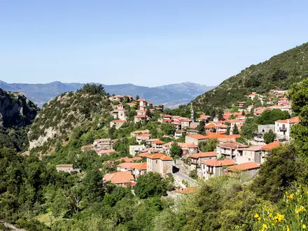
Taygetos, Sparta and Mystras
Taygetos is an ancient name, appearing in Homer’s Odyssey, and in myth is linked to Taygete, one of the Pleiades. The range formed a natural rampart for ancient Sparta, with traditions of the Krypteia and the Caeadas chasm tied to its wild slopes. In Byzantine times it was known as Pentadaktylos, meaning “five-fingered”, while fortified Mystras developed on the eastern flank. Today the summit chapel is dedicated to the Prophet Elias.
Notable highlights
- Profitis Ilias summit (2,407 m): The highest point in the Peloponnese, topped by a small chapel. In clear weather hikers get views towards the Laconian and Messinian gulfs.
- EOS Spartis Taygetos refuge (1,550 m): The Agia Varvara refuge is the usual overnight base on the ascent. It is run by the Sparta mountaineering club and opens by prior arrangement.
- Profitis Ilias chapel and 20 July festival: The summit chapel is the focus of an annual Orthodox feast-day gathering for the Prophet Elias, including a large bonfire.
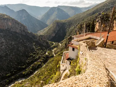
- Vyros Gorge: This deep western ravine drops towards Kardamyli on the Messinian Gulf. It is part of the longer Anavryti-to-Kardamyli traverse and follows the historic “Royal Road” corridor.
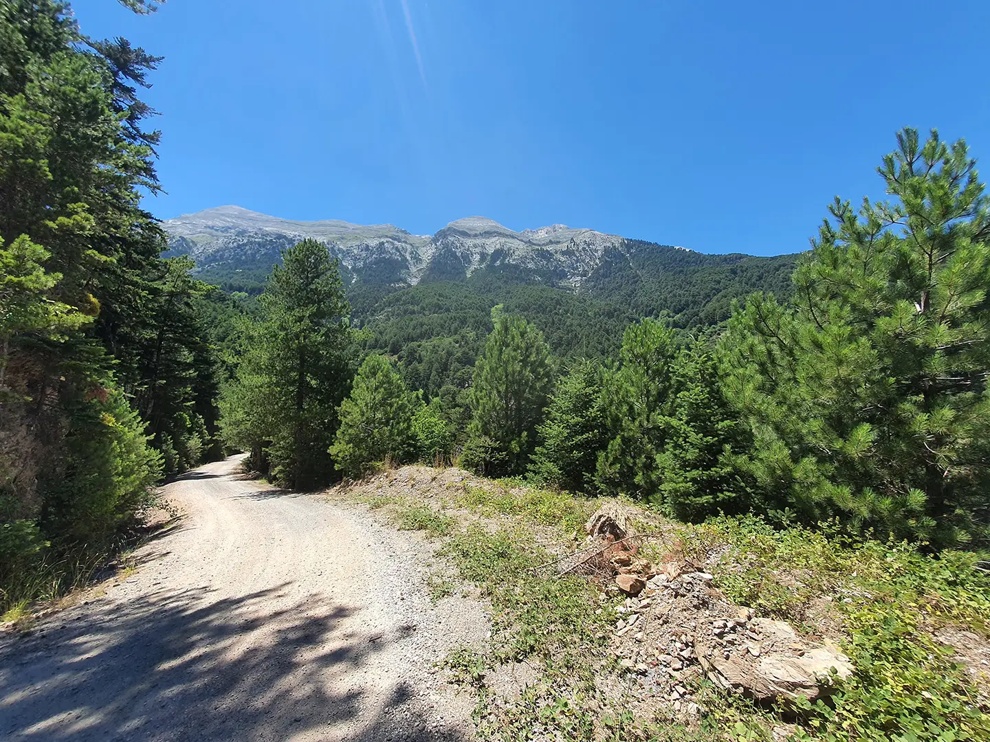
- Greek fir and black pine forest: The lower route climbs through dense mountain woodland before emerging onto open, rockier ground.
- Spartan and Byzantine heritage: Taygetos is closely linked with ancient Sparta, while Mystras and Anavryti sit on its eastern flank. For another demanding Greek mountain route, compare the Agrafa Mountains Circuit.
Challenges to expect
Expect a hard mountain day or two short, steep days: up to 1,800 m of ascent, rocky trail, loose gravel and scree near the summit, and exposed high ground above the forest. Waymarking is strong, with red markers and wooden poles, but winter snow turns the summit into a serious mountaineering objective. Carry at least 3 litres of water; the upper route has no springs.
HikeList Score
Taygetus Mountain Circuit scored 76/100 on HikeList's trail-quality metrics.
See score breakdownHide breakdown
- Ideal length 63
- Balanced challenge 80
- Scenery & wildness 98
- Varied terrain 64
- Accommodation 58
- Food & support 65
- Path quality 98
- Season flexibility 89
Computed from length, challenge, scenery & wildness, terrain variety, accommodation, food & support, path quality and season flexibility.
 Greece
Show more data Show less
- Mountainous
- Forest
- Rocky
- Dirt
- Huts
- Wild Camping Spots
- Pet Friendly
- Water Sources
- Campsites
- Shelters
Photos from hikers
Taken on the trail by people who've reviewed Taygetus Mountain Circuit.
Reviews
How would you rate Taygetus Mountain Circuit?
Tap a star to start your review — you could be the first.