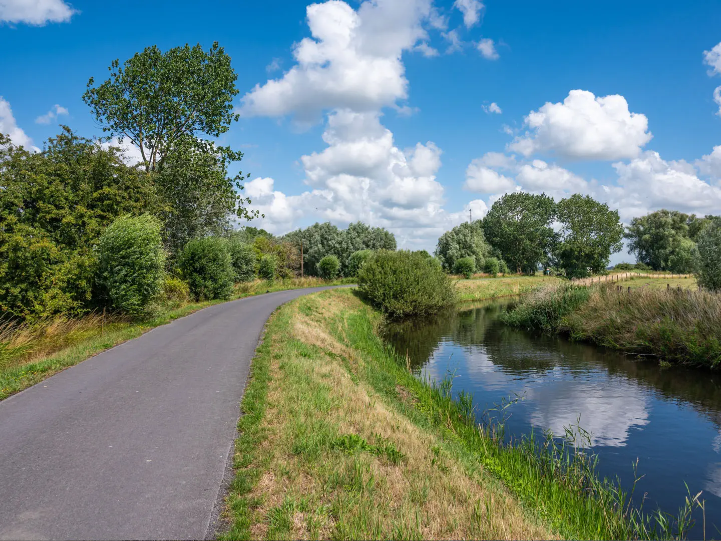
Yser River Trail
How would you rate Yser River Trail?
Tap a star to share your experience and help other hikers.
Yser River Trail: Nieuwpoort to Diksmuide on the GR 130
HikeList Score
Yser River Trail scored 77/100 on HikeList's trail-quality metrics.
See score breakdownHide breakdown
- Ideal length 55
- Balanced challenge 50
- Scenery & wildness 78
- Varied terrain 100
- Accommodation 100
- Food & support 88
- Path quality 84
- Season flexibility 89
Computed from length, challenge, scenery & wildness, terrain variety, accommodation, food & support, path quality and season flexibility.
The Yser River Trail is a 26 km, 1-day, easy point-to-point walk in West Flanders, Belgium, following the Yser/IJzer between Nieuwpoort and Diksmuide. It uses the lower Belgian section of the waymarked GR 130 “IJzer” long-distance path, crossing flat polder country, wetlands and riverside tracks. The terrain is simple and almost level; the main challenge is walking the full distance in one day, especially in wind or mud. It suits hikers wanting a low-level river walk with strong First World War history.
Route Overview
Start at Nieuwpoort, by the North Sea coast and the Ganzepoot lock complex, then follow the Yser inland towards Diksmuide and the Yser Tower. The walk passes open polder villages around Ramskapelle and Pervijze, river bends at Tervate and Schoorbakke, and the Trench of Death near Diksmuide. It is a point-to-point route, not a loop, so arrange a return transfer between Nieuwpoort and Diksmuide. The route overlaps in places with, and runs close to, the Frontzate former railway path. For a longer WWI-focused trip, pair it with the Flanders Fields Trail; for another flat waterside walk, see the Bruges to Damme Canal Trail.
The Yser Front and the Flooded Polders
The Yser/IJzer is closely tied to the Battle of the Yser, fought from 16–31 October 1914 along roughly a 35 km front between Nieuwpoort and Diksmuide. With the Belgian army pushed back to the river, engineers opened the sluices at Nieuwpoort’s Ganzepoot during high tides, flooding the polders and creating a barrier that halted the German advance. Belgium held this last strip of national territory for the rest of the war. Diksmuide was destroyed, later rebuilt, and is now marked by memorials, bunkers and museums.
Notable highlights
- Ganzepoot locks, Nieuwpoort: This “Goose Foot” lock complex is where several waterways and the Yser meet the sea. In October 1914, lock-keeper Hendrik Geeraert helped open the sluices to flood the polders and stop the German advance.
- Yser Tower (IJzertoren), Diksmuide: The 84 m tower is a major peace monument and houses the Museum aan de IJzer. Its cross bears the initials AVV-VVK, and the current tower replaced the original structure destroyed after the Second World War.
- Trench of Death (Dodengang): A preserved Belgian front-line trench beside the Yser near Diksmuide. It gives the walk a direct, sobering connection to the 1915–1918 front line.
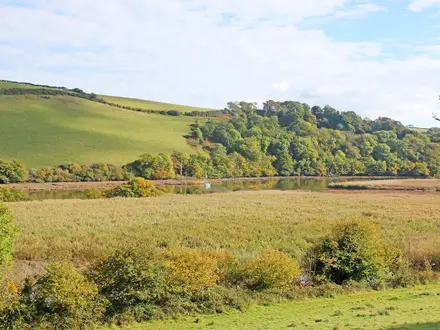
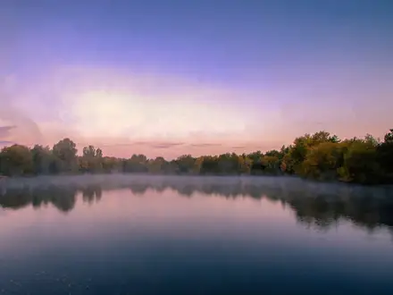
- Polder wetlands and birdlife: The route crosses open reclaimed lowlands, with water, reedbeds and grazing marsh. The exposed, watery landscape is part natural habitat and part legacy of the wartime inundation.
- Frontzate path: This former Nieuwpoort–Diksmuide railway line, later fortified by Belgian forces in 1914, now shadows the river as a quiet walking and cycling route through the polders.
Challenges to expect
The trail is flat and technically easy, but the 26 km distance makes it a full walking day. Expect open polder terrain with little shelter, so wind, rain and sun can feel stronger than the elevation profile suggests. Dirt and gravel sections may be muddy after rain or in winter. Navigation is helped by GR 130 waymarking, but check your route where it overlaps or runs near the Frontzate.
HikeList Score
Yser River Trail scored 77/100 on HikeList's trail-quality metrics.
See score breakdownHide breakdown
- Ideal length 55
- Balanced challenge 50
- Scenery & wildness 78
- Varied terrain 100
- Accommodation 100
- Food & support 88
- Path quality 84
- Season flexibility 89
Computed from length, challenge, scenery & wildness, terrain variety, accommodation, food & support, path quality and season flexibility.
 Belgium
Show more data Show less
- Riverside
- Polder
- Wetlands
- Open
- Towpath
- Dirt
- Gravel
- Paved
- Hotels
- B&Bs
- Hostels
- Campsites
- Family Friendly
- Pet Friendly
- Restrooms
- Water Sources
- Campsites
- Picnic Areas
Photos from hikers
Taken on the trail by people who've reviewed Yser River Trail.
Reviews
How would you rate Yser River Trail?
Tap a star to start your review — you could be the first.