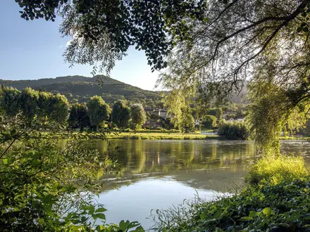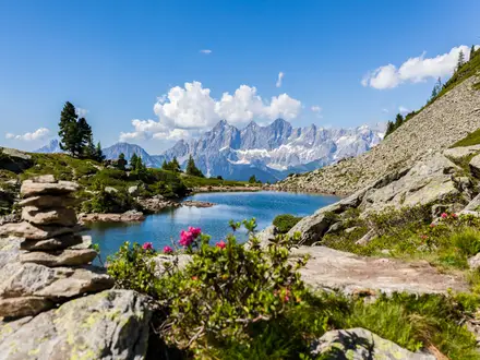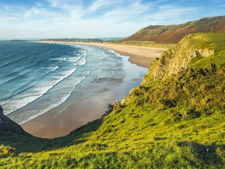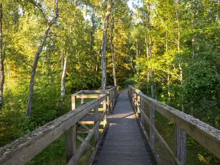
GR99 (Ebro River Trail)
How would you rate GR99 (Ebro River Trail)?
Tap a star to share your experience and help other hikers.
GR99 (Ebro River Trail): Spain’s Source-to-Sea River Walk
HikeList Score
GR99 (Ebro River Trail) scored 81/100 on HikeList's trail-quality metrics.
See score breakdownHide breakdown
- Ideal length 52
- Balanced challenge 90
- Scenery & wildness 98
- Varied terrain 64
- Accommodation 83
- Food & support 88
- Path quality 98
- Season flexibility 76
Computed from length, challenge, scenery & wildness, terrain variety, accommodation, food & support, path quality and season flexibility.
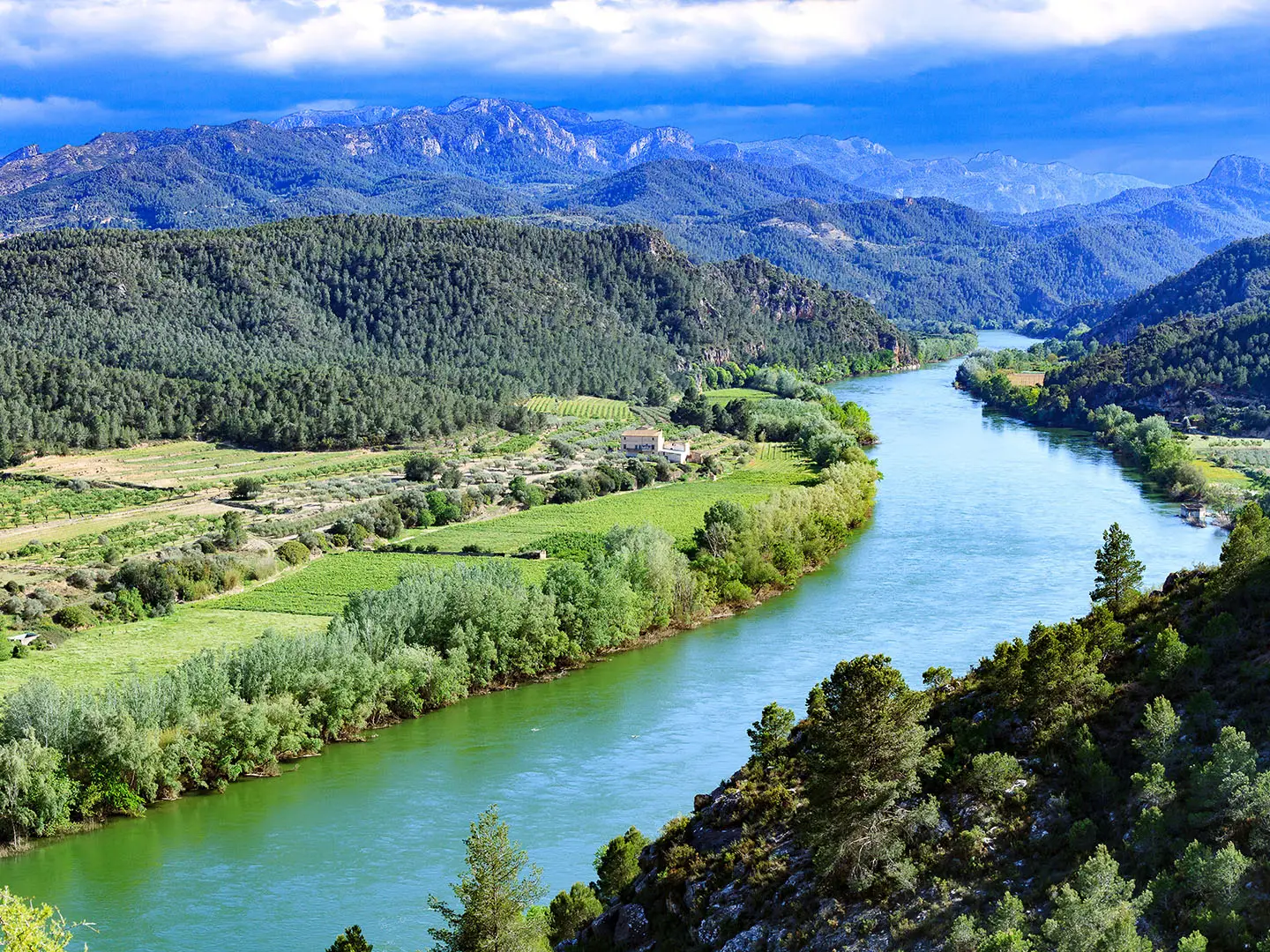
The GR99, officially the Camino Natural del Ebro, is a 1,287 km point-to-point trail across northern Spain, following the Ebro from Fontibre in Cantabria to the Mediterranean at the Ebro Delta in Tarragona. Allow about 42-50 days for a thru-hike, though many walkers tackle it in sections. It is moderate rather than alpine: mostly low-gradient river and valley walking, but very long, exposed and hot in places. It suits hikers who want a waymarked, town-to-town Spanish route beyond the Camino de Santiago (Camino Francés).
Route Overview
The route runs source-to-sea from the karst springs at Fontibre, near Reinosa, to Riumar / Garxal on the Ebro Delta. It crosses Cantabria, Castilla y Leon, Pais Vasco, La Rioja, Navarra, Aragon and Cataluna, linking towns such as Miranda de Ebro, Haro, Logroño, Tudela, Zaragoza, Caspe, Mequinenza, Tortosa, Amposta and Deltebre. The GR99 is officially split into 42 day stages, with red-and-white GR waymarks and stage information panels. Logistics are built around towns, villages, hostales, hotels and campsites. In La Rioja it shares the wider cultural landscape of the Camino Francés Rioja Segment; in Aragon, compare its river corridor with the Camino Aragonés.
Ebro Valley History and the Making of the GR99
The Ebro is Spain’s most voluminous river and the longest river contained entirely within the country. Its valley has been used as a movement corridor since pre-Roman times, with Iberian, Roman, Moorish and Christian cultures leaving towns, crossings and riverside routes. The GR99 is a modern Camino Natural that links these historic riverside ways into one signed trail. It was developed by Spain’s agriculture and environment ministry with the Ebro Hydrographic Confederation, FEDME, seven autonomous communities and many municipalities.
Notable highlights
- Fontibre - the source of the Ebro: The trail starts at the karst springs where the Ebro emerges in a clear pool in the Cantabrian uplands. The site is tied to the old name Fontes Iberis, “sources of the Ebro”.
- Zaragoza and the Basilica del Pilar: Zaragoza is the GR99’s major city, set directly on the Ebro. The Baroque Basilica de Nuestra Senora del Pilar dominates the riverside and is one of Spain’s important pilgrimage churches.
- The Aragonese steppe and galachos: Around Zaragoza, Sastago and Caspe, the route crosses hot, open gypsum and saltpetre country. The galachos are abandoned oxbow meanders, now poplar- and willow-fringed wildlife refuges.
- Mequinenza reservoir and the “Sea of Aragon”: At Mequinenza the Ebro broadens into a large reservoir, nicknamed the Mar de Aragon. It is also where the Ebro meets the Segre and Cinca below the old castle town.
- The Ebro Delta: The final flat stages enter the Delta de l’Ebre Natural Park, with rice paddies, lagoons and reed beds. Birdlife is a major draw, with flamingos especially associated with late summer.
Challenges to expect
The GR99 is moderate underfoot but demanding in scale. Expect long, exposed stages, especially across the Aragonese steppe, where summer heat and shade scarcity are serious issues. The steepest known pull is the Sierra de Arcena climb, about 700 m over 7.5 km between Barcina de los Montes / Barcina de Ebro and Banos del Sobron. Accommodation is generally town-based, but longer gaps need planning; wild camping is restricted.
HikeList Score
GR99 (Ebro River Trail) scored 81/100 on HikeList's trail-quality metrics.
See score breakdownHide breakdown
- Ideal length 52
- Balanced challenge 90
- Scenery & wildness 98
- Varied terrain 64
- Accommodation 83
- Food & support 88
- Path quality 98
- Season flexibility 76
Computed from length, challenge, scenery & wildness, terrain variety, accommodation, food & support, path quality and season flexibility.
 Spain
SpainShow more data Show less
- Mountainous
- Forest
- Dirt
- Gravel
- Hotels
- Hostels
- Campsites
- Family Friendly
- Pet Friendly
- Restrooms
- Water Sources
- Campsites
- Picnic Areas
Photos from hikers
Taken on the trail by people who've reviewed GR99 (Ebro River Trail).
Reviews
How would you rate GR99 (Ebro River Trail)?
Tap a star to start your review — you could be the first.