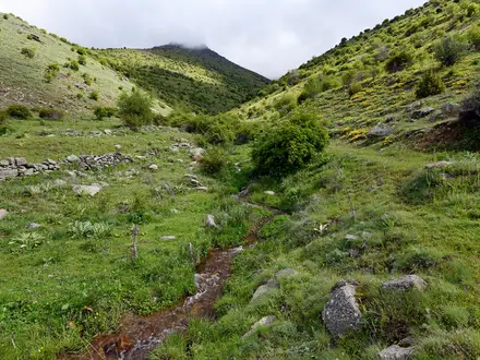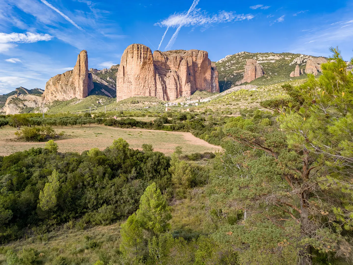
GR1 (Historic Trail)
How would you rate GR1 (Historic Trail)?
Tap a star to share your experience and help other hikers.
GR1 (Historic Trail): Spain’s Long Northern Traverse
HikeList Score
GR1 (Historic Trail) scored 77/100 on HikeList's trail-quality metrics.
See score breakdownHide breakdown
- Ideal length 52
- Balanced challenge 84
- Scenery & wildness 66
- Varied terrain 100
- Accommodation 91
- Food & support 81
- Path quality 92
- Season flexibility 76
Computed from length, challenge, scenery & wildness, terrain variety, accommodation, food & support, path quality and season flexibility.
The GR1 Sendero Histórico is a 1,250 km point-to-point thru-hike across northern Spain, usually walked west to east from Puerto de Tarna to Sant Martí d’Empúries. Cicerone divides it into 53 stages, so allow roughly 7–8 weeks for the full route. It is a hard trail: not technical, but long, mountainous, remote in places and with over 39,000 m of cumulative ascent. It suits fit, experienced trekkers; many walkers tackle it in sections.
Route Overview
The GR1 starts at Puerto de Tarna, a high pass on the León side of the Picos de Europa, and runs east across Castilla y León, Cantabria, the Basque Country, Navarre, Aragón and Catalonia to Sant Martí d’Empúries on the Mediterranean near L’Escala. Key places include Aguilar de Campoo, Olite, Loarre, Graus and the Sierra de Guara. The route is a red-and-white waymarked GR, with forest paths, dirt tracks, farm lanes, some road walking and cliff-carved passages. For a shorter Spanish long-distance option, compare the Camino Aragonés; for another waymarked traverse of northern Spain, see the Camino del Norte; and for a coastal finish in the same broad region, see the Camí de Ronda.
History of the GR1 Sendero Histórico
The GR1 is a modern Gran Recorrido trail built around older ways. Its line deliberately links village paths and cañadas reales, royal droving roads given statutory status by Alfonso X in 1273. These routes were once the practical arteries for people, mules and donkeys before motor transport. The trail also roughly follows the shifting frontier between Moorish and Christian Spain during the Reconquest, which explains the frequent castles, fortified towns and Romanesque churches along the way.
Notable highlights
- Puerto de Tarna and the Picos de Europa start: The walk begins at a high León pass on the edge of the Picos de Europa National Park, giving an immediate mountain start before the long eastward traverse.
- Aguilar de Campoo: A historic Castilian town known for Romanesque heritage and a biscuit-making tradition, and one of the main cultural stops in the western half of the route.
- Loarre Castle: An 11th-century fortress in Aragón, built by Sancho III of Navarre on a former Roman site to defend lands taken from the Moors.
- Sierra de Guara gorges: The Aragón section threads conglomerate gorges and cliff-carved paths through Sierra y Cañones de Guara Natural Park, well known as canyoning country.
- Reconquest frontier and cañadas reales: The route’s castles, churches and fortified villages give the walking a clear historical thread rather than just scenery.
- Sant Martí d’Empúries: The trail ends at a small medieval seaside village beside the Greco-Roman ruins of Empúries on the Costa Brava.
Challenges to expect
The GR1 is hard because of scale, ascent and remoteness, not technical climbing. Expect long stages of roughly 11–36 km, sustained cumulative ascent, hot conditions on plains and meseta in summer, and possible snow on the higher western passes early in the season. Accommodation and shops can be thin in remote sections, so book ahead and plan food carefully. Waymarking is broadly good, but a GPS track is useful, especially where signage is inconsistent.
HikeList Score
GR1 (Historic Trail) scored 77/100 on HikeList's trail-quality metrics.
See score breakdownHide breakdown
- Ideal length 52
- Balanced challenge 84
- Scenery & wildness 66
- Varied terrain 100
- Accommodation 91
- Food & support 81
- Path quality 92
- Season flexibility 76
Computed from length, challenge, scenery & wildness, terrain variety, accommodation, food & support, path quality and season flexibility.
 Spain
SpainShow more data Show less
- Mountainous
- Plains
- Gorges
- Farmland
- Mediterranean
- Forest Singletrack
- Dirt Tracks
- Farm Lanes
- Paved Roads
- Cliff Carved Paths
- Hotels
- Guesthouses
- Hostels
- Pet Friendly
- Water Sources
- Campsites
- Shelters
Photos from hikers
Taken on the trail by people who've reviewed GR1 (Historic Trail).
Reviews
How would you rate GR1 (Historic Trail)?
Tap a star to start your review — you could be the first.