European Long-Distance Trail E4
How would you rate European Long-Distance Trail E4?
Tap a star to share your experience and help other hikers.
European Long-Distance Trail E4: Hungary’s Blue Trail Traverse
HikeList Score
European Long-Distance Trail E4 scored 79/100 on HikeList's trail-quality metrics.
See score breakdownHide breakdown
- Ideal length 52
- Balanced challenge 84
- Scenery & wildness 71
- Varied terrain 100
- Accommodation 91
- Food & support 88
- Path quality 89
- Season flexibility 89
Computed from length, challenge, scenery & wildness, terrain variety, accommodation, food & support, path quality and season flexibility.
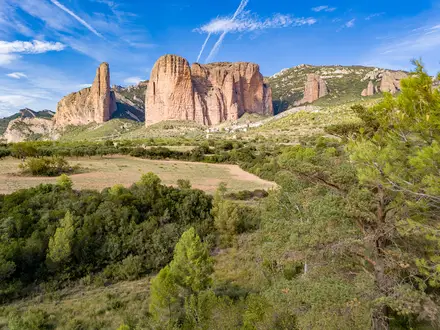
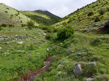
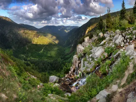
The European Long-Distance Trail E4 in Hungary follows the National Blue Trail spine for about 1,170 km, usually planned as a hard, roughly 50-day point-to-point thru-hike. This is the Hungarian section of the wider trans-European E4, not the full Tarifa-to-Cyprus route. It suits experienced long-distance hikers who can manage sustained daily mileage, varied mid-mountain terrain, self-organised accommodation and navigation on Hungarian waymarks.
Route Overview
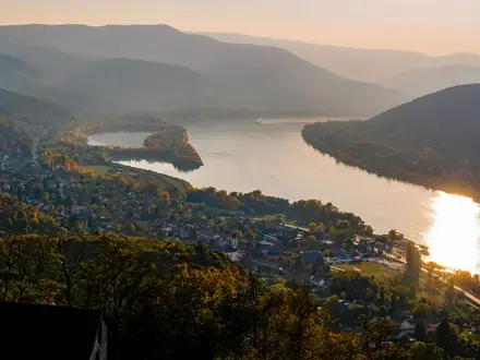
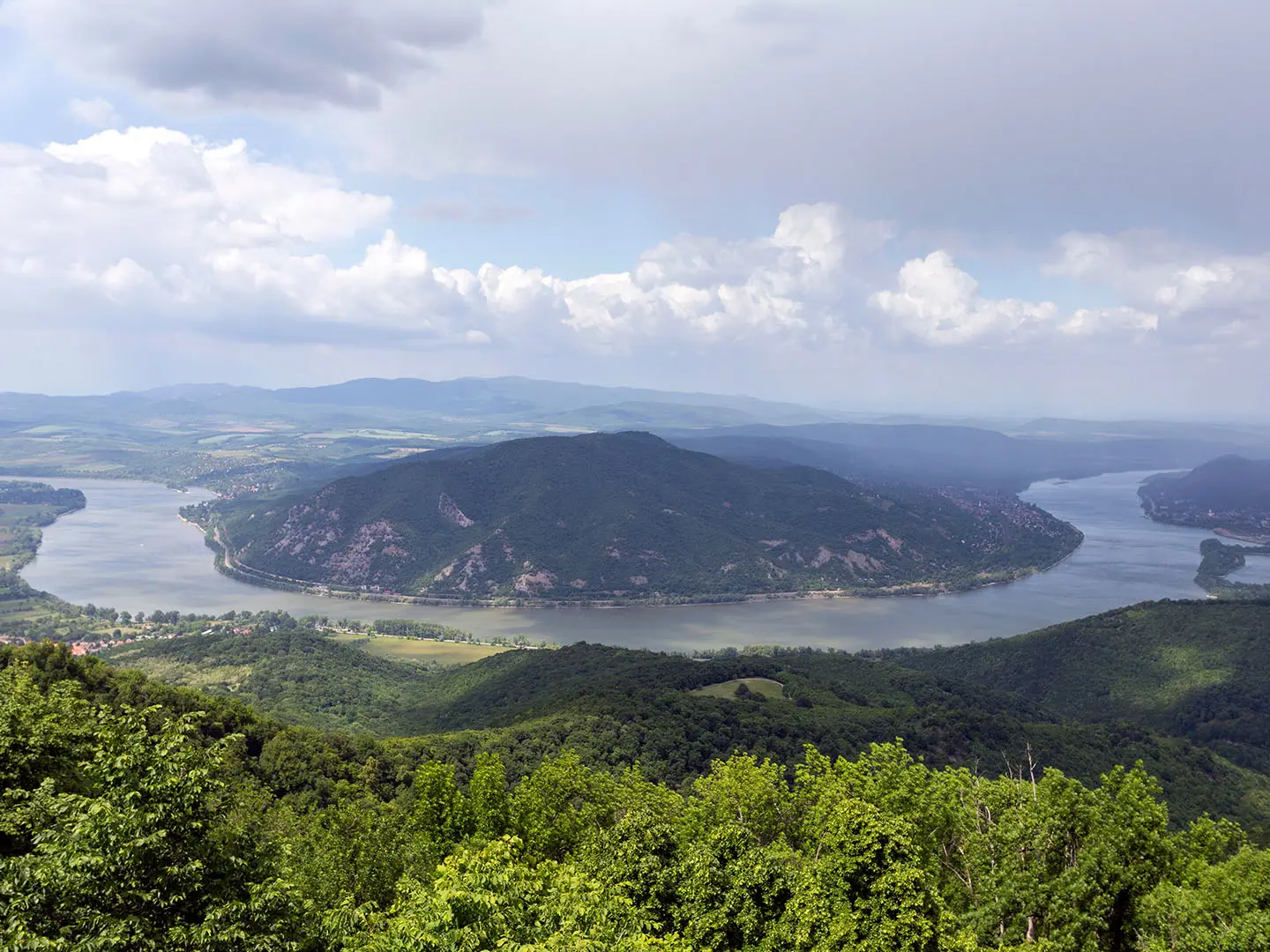
The Hungarian E4/Blue Trail traverse starts at Írott-kő (884 m) on the Austrian–Hungarian border above Kőszeg, then crosses the country diagonally through Sárvár, Sümeg, the Balaton Uplands, the Bakony, the Budapest area, Pilis, the Danube Bend, the Börzsöny Mountains, Hollókő, Mátra, Bükk, Aggtelek and Zemplén. The National Blue Trail terminus is Hollóháza on the Slovak border. At Sátoraljaújhely, the wider E4 continues onto the Alföld Blue Trail across the Great Hungarian Plain. It is a self-organised point-to-point route, with planning built around towns, villages and stamping checkpoints.
History of the National Blue Trail
The National Blue Trail was first waymarked in 1938, originally as a roughly 910 km route, and is described as the first long-distance marked hiking route in Hungary and reputedly in Europe. It later became the Hungarian backbone of the European E4. Its stamp-booklet tradition is central to the route: hikers collect checkpoint stamps to certify completion. National Geographic named the trail among its recommended travel destinations in 2020.
Notable highlights
- Kékestető (1,014 m): The highest point in Hungary and the literal high point of the route, reached in the Mátra Mountains and crowned by a TV tower.
- Aggtelek karst caves: A UNESCO World Heritage karst landscape near the trail, known for the Baradla cave system and stalactite chambers; see also the Aggtelek National Park Trail.
- Hollókő: A UNESCO-listed Palóc folk village in the Cserhát, valued for its preserved traditional Hungarian rural architecture.
- Írott-kő lookout tower: The 884 m western start point on the Austrian border, with a stone lookout tower straddling the frontier in the Kőszeg Mountains.
- Balaton Highlands & Tapolca basin: Volcanic hills, basalt buttes and vineyards above Lake Balaton, the largest lake in Central Europe.
- Blue Trail stamp challenge: A national hiking tradition with around 150 stamping checkpoints spaced along the National Blue Trail.
Challenges to expect
The difficulty is cumulative: about 1,170 km and 31,460 m of ascent, rather than technical mountaineering. Expect forest tracks, footpaths, field tracks, gravel, dirt and some asphalt. Accommodation is self-organised and wild/free camping is restricted, so village spacing matters. Waymarks are clear Blue Trail stripes, but signage and local logistics may be in Hungarian. Avoid deep winter on the higher ridges.
HikeList Score
European Long-Distance Trail E4 scored 79/100 on HikeList's trail-quality metrics.
See score breakdownHide breakdown
- Ideal length 52
- Balanced challenge 84
- Scenery & wildness 71
- Varied terrain 100
- Accommodation 91
- Food & support 88
- Path quality 89
- Season flexibility 89
Computed from length, challenge, scenery & wildness, terrain variety, accommodation, food & support, path quality and season flexibility.
 Hungary
Show more data Show less
- Mountainous
- Forest
- Vineyards
- Karst
- River Plains
- Lowland Farmland
- Footpaths
- Forest Tracks
- Field Tracks
- Gravel
- Dirt
- Paved
- Hostels
- Guesthouses
- Hotels
- Family Friendly
- Pet Friendly
- Restrooms
- Water Sources
- Campsites
- Shelters
- Picnic Areas
Photos from hikers
Taken on the trail by people who've reviewed European Long-Distance Trail E4.
Reviews
How would you rate European Long-Distance Trail E4?
Tap a star to start your review — you could be the first.