Chasseral Ridge Walk
How would you rate Chasseral Ridge Walk?
Tap a star to share your experience and help other hikers.
Chasseral Ridge Walk: Bernese Jura Panorama Hike
HikeList Score
Chasseral Ridge Walk scored 83/100 on HikeList's trail-quality metrics.
See score breakdownHide breakdown
- Ideal length 55
- Balanced challenge 100
- Scenery & wildness 78
- Varied terrain 100
- Accommodation 83
- Food & support 88
- Path quality 98
- Season flexibility 89
Computed from length, challenge, scenery & wildness, terrain variety, accommodation, food & support, path quality and season flexibility.
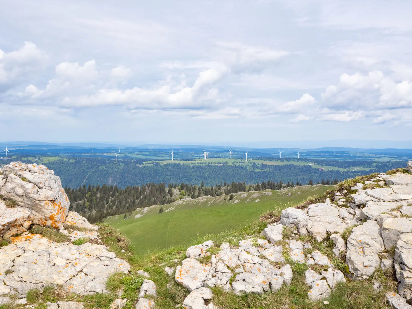
The Chasseral Ridge Walk is a 16 km, 1-day, moderate point-to-point hike over Chasseral, the highest summit of the Bernese Jura at 1,606 m. In north-west Switzerland, it follows open Jura crest and pastureland also crossed by the Jura Crest Trail, Switzerland’s national Route 5. It suits fit day hikers who want big views without a high-Alpine itinerary, with the option to make it tougher via the Combe Grede gorge.
Route Overview
Most hikers treat Chasseral as a point-to-point crossing. Common starts are St-Imier railway station, reached from Biel/Bienne, or the village of Nods. From there the route climbs through forest, pasture and limestone terrain towards Pre aux Auges, Hotel de Chasseral, the Chasseral summit and its prominent transmitter. Descents commonly finish at Nods, Twann on Lake Biel, or Les Pres d’Orvin / Orvin, using bus or rail for the return. A seasonal bus also serves Hotel de Chasseral near the top. For nearby Jura limestone scenery, compare the Creux du Van Circular Trail or Creux du Van to Noiraigue.
Chasseral history and regional context
Chasseral has long been a landmark above the Three Lakes region. Its pastures reflect centuries of Jura pastoral farming, while the surrounding Bernese Jura and Neuchatel valleys were important in Swiss watchmaking. In 1864, the summit was used in one of Switzerland’s first precise national levelling campaigns, helping establish the country’s height reference. Hotel de Chasseral has stood near the top for well over a century, and the 120 m Swisscom transmitter was built in 1983.
Notable highlights
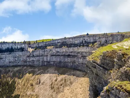
- Chasseral summit (1,606 m): The highest point of the Bernese Jura and the natural climax of the walk. On clear days the panorama spans the Jura, Swiss Plateau, Three Lakes region, high Alps and as far as Mont Blanc.
- Combe Grede gorge: A steep limestone gorge on the northern approach, with narrow switchbacks, fixed metal ladders, handrails and cables. It is harder than the standard pasture approach and is closed in winter for snow and wildlife protection.
- Chasseral transmitter (120 m): A Swisscom radio and telecoms tower built in 1983 just east of the summit. It is visible from far across the region and makes the summit area easy to identify.
- Hotel de Chasseral: A mountain inn near the summit offering food, drink and beds. It is a useful rest stop and is linked by a seasonal bus in the snow-free months.
- Jura pastures and dry-stone walls: The ridge crosses open, cattle-grazed summer pastures divided by traditional dry-stone walls, a defining feature of the Jura landscape.
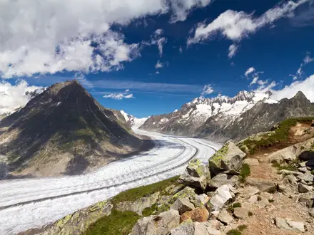
- Swiss panorama alternative: If you want a higher-Alpine viewpoint after Chasseral, the Aletsch Glacier Panorama Trail is a useful comparison.
Challenges to expect
The standard ridge and pasture route is moderate, but limestone and gravel can be slippery when wet. The Combe Grede ascent is significantly harder: it is a red Swiss mountain path with ladders, handrails and cables, and is best avoided in wet conditions. The gorge is closed roughly from late October to early May. Resupply is limited outside villages and Hotel de Chasseral.
HikeList Score
Chasseral Ridge Walk scored 83/100 on HikeList's trail-quality metrics.
See score breakdownHide breakdown
- Ideal length 55
- Balanced challenge 100
- Scenery & wildness 78
- Varied terrain 100
- Accommodation 83
- Food & support 88
- Path quality 98
- Season flexibility 89
Computed from length, challenge, scenery & wildness, terrain variety, accommodation, food & support, path quality and season flexibility.
Show more data Show less
- Ridge
- Pasture
- Forest
- Limestone
- Dirt
- Grass
- Rock
- Gravel
- Farm Tracks
- Hotels
- Guesthouses
- Mountain Inn
- Family Friendly
- Pet Friendly
- Restrooms
- Water Sources
- Campsites
- Shelters
- Picnic Areas
In these collections
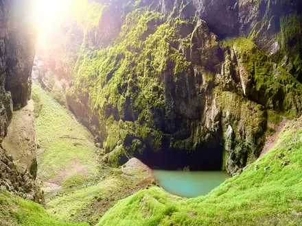
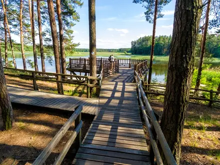
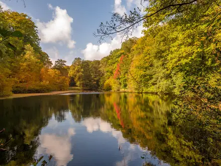
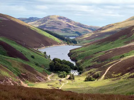
Photos from hikers
Taken on the trail by people who've reviewed Chasseral Ridge Walk.
Reviews
How would you rate Chasseral Ridge Walk?
Tap a star to start your review — you could be the first.