Westerborkpad
How would you rate Westerborkpad?
Tap a star to share your experience and help other hikers.
Westerborkpad: LAW 15 from Amsterdam to Kamp Westerbork
HikeList Score
Westerborkpad scored 79/100 on HikeList's trail-quality metrics.
See score breakdownHide breakdown
- Ideal length 85
- Balanced challenge 50
- Scenery & wildness 66
- Varied terrain 94
- Accommodation 100
- Food & support 88
- Path quality 80
- Season flexibility 89
Computed from length, challenge, scenery & wildness, terrain variety, accommodation, food & support, path quality and season flexibility.
The Westerborkpad is a 340 km point-to-point long-distance trail in the Netherlands, officially LAW 15. It runs from the Hollandsche Schouwburg in Amsterdam to Herinneringscentrum Kamp Westerbork near Hooghalen in Drenthe. The route is easy underfoot and essentially flat, with about 600 m total ascent, but its length makes it an endurance walk. It is officially split into 29 day-stages plus a short Amsterdam prologue; fit walkers often combine stages and complete it in about 15 days.
Route Overview
The trail is waymarked one-directional from Amsterdam towards Kamp Westerbork, following as closely as possible the railway corridor used for WWII deportations. From the Hollandsche Schouwburg it heads through Diemen, Weesp, Muiderberg, Naarden-Bussum, Hilversum, Baarn and Amersfoort, then crosses Gelderland and Overijssel via Nijkerk, Putten, Harderwijk, Nunspeet, ’t Harde, Elburg, Hattem, Zwolle, Staphorst and Meppel before entering Drenthe through Hoogeveen, Beilen, Wijster and Hooghalen. Rail access is a major advantage: most stage starts and finishes have stations, so sections are easy to shorten or walk as separate days. For other Dutch multi-day options, compare the Drenthepad or the Dutch Coastal Path (Hollands Kustpad).
A reflective path of WWII remembrance
The Westerborkpad commemorates the persecution and deportation of Jews, Sinti and Roma in the occupied Netherlands between 1940 and 1945. In 2005 Jan Dokter of Hoorn walked from the Hollandsche Schouwburg to Kamp Westerbork in memory of deported family members; that pilgrimage inspired the official route. Between 1942 and 1945 more than 100,000 people were transported from Westerbork to Nazi concentration and extermination camps. The path is a bezinningspad — a reflective path — passing more than 70 sites of historical significance.
Notable highlights
- Hollandsche Schouwburg, Amsterdam: The starting point is a former theatre used by the occupier as an assembly and deportation point in 1942–43. It is now a national memorial to the deported Jews of the Netherlands.
- Deportation railway line: The route is organised around the rail corridor used for the deportations, so stations and railway towns are part of the walk’s meaning as well as its logistics.
- Putten and the Putten raid memorial: Putten is strongly associated with WWII remembrance after the 1944 reprisal raid in which the Nazis deported almost the entire male population.
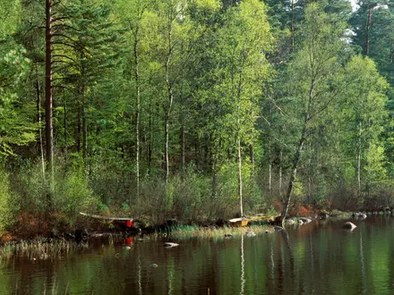
- The Veluwe, between Harderwijk, Nunspeet and ’t Harde: This is the route’s most natural section, with heath and pine forest breaking up the urban paths, dikes and farmland.
- Roadside and town memorials: Across the 29 stages the path links former hiding addresses, Jewish monuments, plaques and former work camps, making the walk a continuous act of remembrance.
- Herinneringscentrum Kamp Westerbork: The end point near Hooghalen includes the memorial centre, camp grounds and symbolic broken railway-track monument — the emotional conclusion of the route.
Challenges to expect
Do not expect technical difficulty: the walking is flat on paved streets, bike paths, dikes, towpaths, gravel, dirt and forest tracks. The real challenge is repetition and distance over many days, plus exposed lowland weather and short winter daylight. Accommodation is easiest in towns; campsites are relatively few, especially early on. If you want quieter rural walking afterwards, look at the Friese Woudenpad or the Achterhoekpad.
HikeList Score
Westerborkpad scored 79/100 on HikeList's trail-quality metrics.
See score breakdownHide breakdown
- Ideal length 85
- Balanced challenge 50
- Scenery & wildness 66
- Varied terrain 94
- Accommodation 100
- Food & support 88
- Path quality 80
- Season flexibility 89
Computed from length, challenge, scenery & wildness, terrain variety, accommodation, food & support, path quality and season flexibility.
Show more data Show less
- Lowland
- Urban
- Heath
- Forest
- Farmland
- Paved
- Gravel
- Dirt
- Hotels
- B&Bs
- Guesthouses
- Campsites
- Family Friendly
- Pet Friendly
- Restrooms
- Water Sources
- Campsites
- Picnic Areas
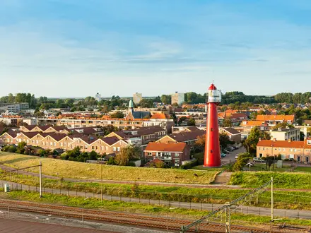
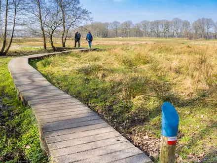
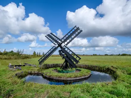
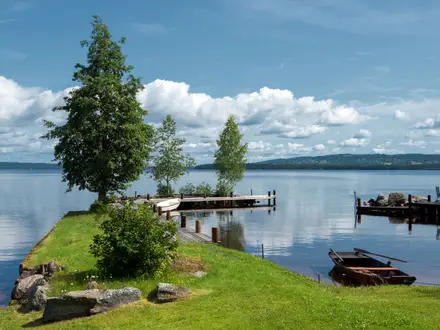
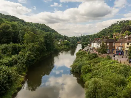
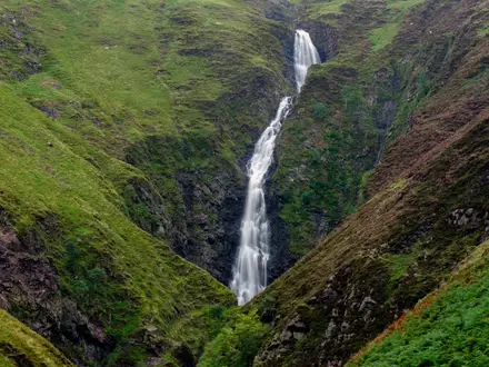
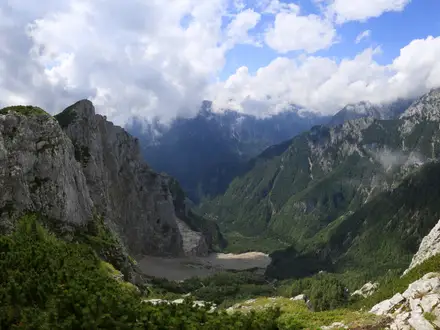
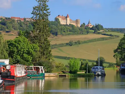
Photos from hikers
Taken on the trail by people who've reviewed Westerborkpad.
Reviews
How would you rate Westerborkpad?
Tap a star to start your review — you could be the first.