Siljansleden
How would you rate Siljansleden?
Tap a star to share your experience and help other hikers.
Siljansleden: A Complete Hiking Guide
HikeList Score
Siljansleden scored 78/100 on HikeList's trail-quality metrics.
See score breakdownHide breakdown
- Ideal length 73
- Balanced challenge 90
- Scenery & wildness 66
- Varied terrain 94
- Accommodation 84
- Food & support 65
- Path quality 98
- Season flexibility 63
Computed from length, challenge, scenery & wildness, terrain variety, accommodation, food & support, path quality and season flexibility.
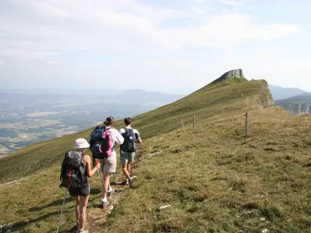
Siljansleden is a 340 km waymarked loop trail in Siljansbygden, Dalarna, central Sweden. It takes about 21 days to walk the full circuit and is best treated as a moderate long-distance hike: not alpine, but sustained, with long forest sections, marshy ground, gravel roads and height differences of a little over 400 m. It suits hikers who want a flexible Swedish thru-hike with wild-camping options, lakeside towns for access, and a strong mix of forest, fäbod heritage and Lake Siljan scenery.
Route Overview
Siljansleden has no single fixed start or finish. It is made of two connected loops around Lake Siljan and Lake Orsasjön, with waymarked entry points in Leksand, Tällberg, Rättvik, Orsa, Mora, Fryksås and other villages. Most walkers join wherever transport and accommodation work best; Mora is a major trailhead and transport hub, while Rättvik, Orsa and Leksand are natural resupply points. The loops share a common 60–61 km Fryksås–Rättvik section, which STF brands as the Signature Trail Siljan and is typically walked in about four days. For other Swedish long-distance routes, compare Bergslagsleden, Bohusleden and Höga Kustenleden.
Fäbod paths, church ways and the Siljan Ring
Siljansleden links old fäbod summer-pasture paths once used by Dalarna farmers moving livestock to higher summer grazing. It also follows parts of historic routes such as Dalkarlsvägen, used by Dalarna men walking to labour in Stockholm in the 16th century, and old church paths known as Kyrkvägen. Lake Siljan lies within the Siljan Ring, an ancient impact crater roughly 377 million years old. In 2019, STF designated the route one of Sweden’s twelve official Signature Trails.
Notable highlights
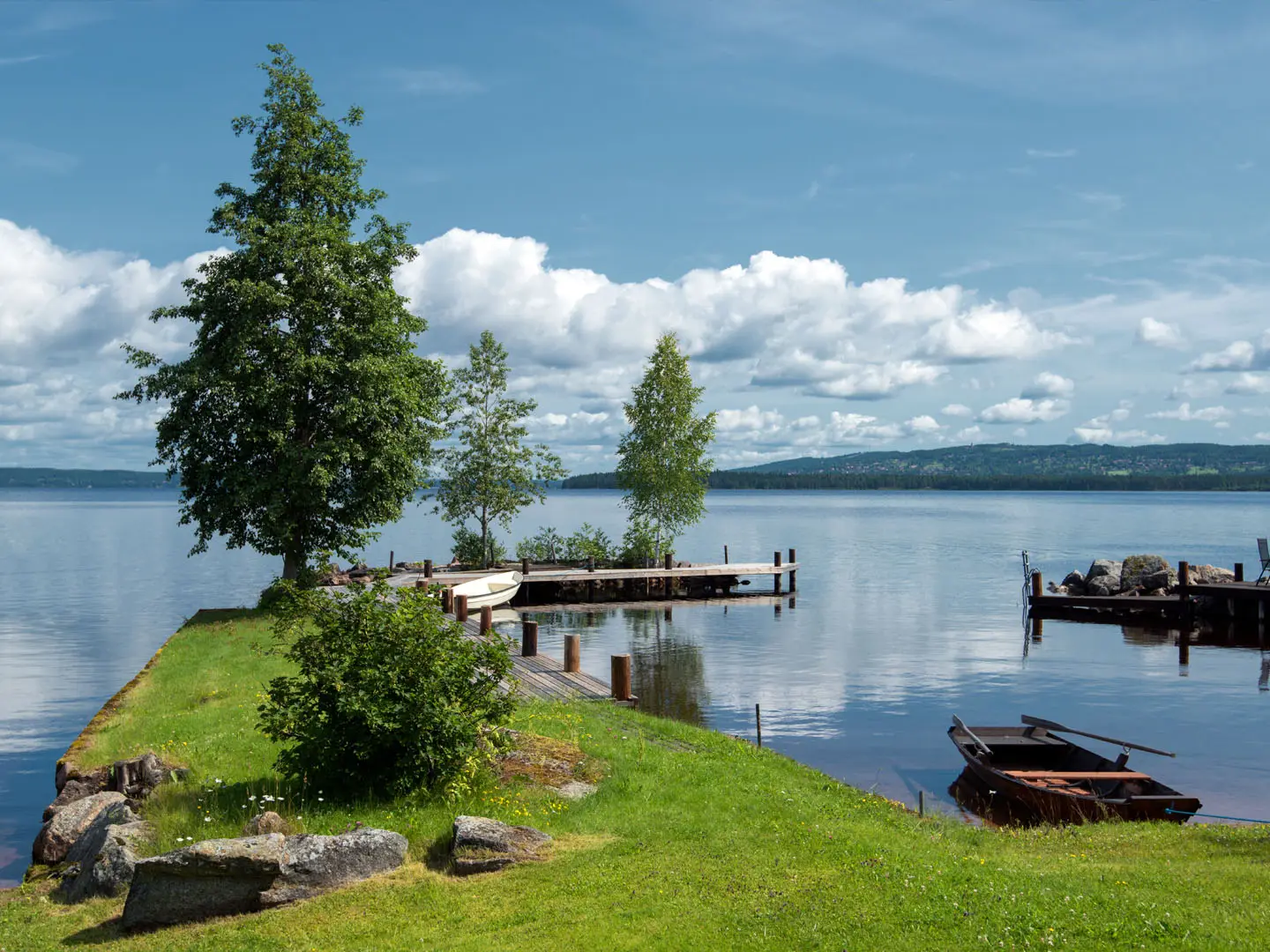
- Lake Siljan: The 290 sq km lake shapes the whole route. It lies within the Siljan Ring, Sweden’s largest known impact structure, and gives the trail its broad lakeside identity.
- Fryksås fäbod: A high summer-pasture hamlet above Orsasjön at about 503 m. It is a key point on the STF Signature Trail section and is known for preserved fäbod buildings and wide views over the Siljan region.
- Rättvik: A lakeside town with a 13th-century church on a point extending into Lake Siljan, plus the long Långbryggan pier. It is a useful access and resupply point.
- Fäbod heritage and Dalkarlsvägen: Much of Siljansleden follows old summer-farm tracks, church paths and historic travel routes. This gives the hike a strong cultural layer beyond the forest walking.
- Sollerön: An island in Lake Siljan with Viking-age heritage, reached on the western part of the route near Gesunda and Mora.
- Mora: A major trailhead and transport hub at the north-west of Lake Siljan. It is also known as the finish of the Vasaloppet ski race and for the Zorn Museum.
Challenges to expect
The main challenge is distance and consistency, not technical terrain. Expect long forest days, mixed footing, gravel and forest roads, marsh sections on duckboards, and height differences of a little over 400 m. Resupply is easiest in the lakeside towns, with quieter stretches between them. Summer is the normal hiking season, roughly June to September. Check current conditions before walking: a stretch near the Spjutmo power plant was temporarily closed in 2024.
HikeList Score
Siljansleden scored 78/100 on HikeList's trail-quality metrics.
See score breakdownHide breakdown
- Ideal length 73
- Balanced challenge 90
- Scenery & wildness 66
- Varied terrain 94
- Accommodation 84
- Food & support 65
- Path quality 98
- Season flexibility 63
Computed from length, challenge, scenery & wildness, terrain variety, accommodation, food & support, path quality and season flexibility.
Show more data Show less
- Forest
- Lakeshore
- Marsh
- Low Hills
- Farmland
- Dirt
- Gravel
- Boardwalk
- Shelters
- Campsites
- Hostels
- Wild Camping Spots
- Family Friendly
- Pet Friendly
- Water Sources
- Campsites
- Shelters
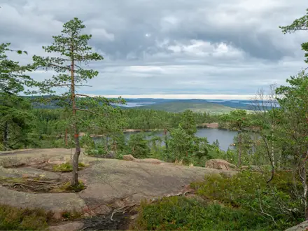
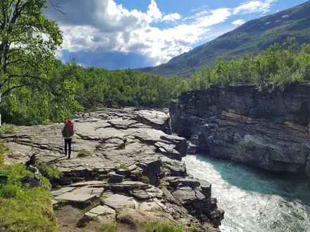
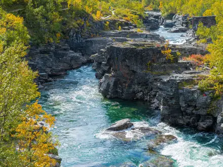
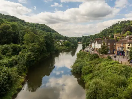
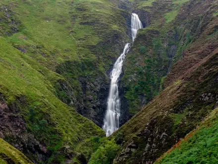
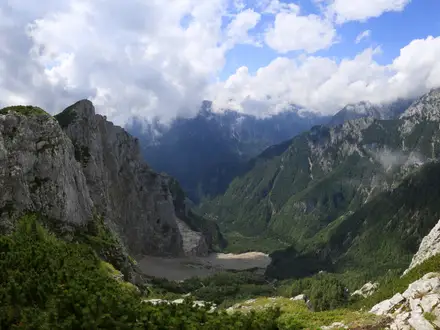
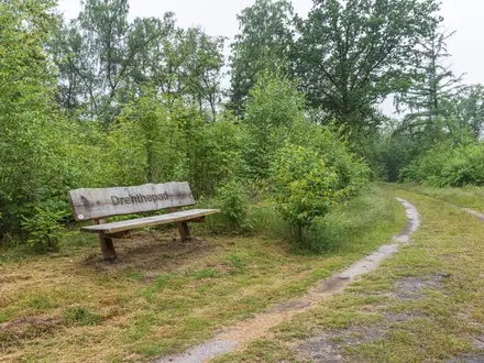
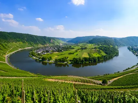
Photos from hikers
Taken on the trail by people who've reviewed Siljansleden.
Reviews
How would you rate Siljansleden?
Tap a star to start your review — you could be the first.