The Kerry Ridgeway
How would you rate The Kerry Ridgeway?
Tap a star to share your experience and help other hikers.
The Kerry Ridgeway: Ancient Border-Ridge Day Hike
HikeList Score
The Kerry Ridgeway scored 82/100 on HikeList's trail-quality metrics.
See score breakdownHide breakdown
- Ideal length 55
- Balanced challenge 100
- Scenery & wildness 98
- Varied terrain 89
- Accommodation 83
- Food & support 61
- Path quality 84
- Season flexibility 89
Computed from length, challenge, scenery & wildness, terrain variety, accommodation, food & support, path quality and season flexibility.
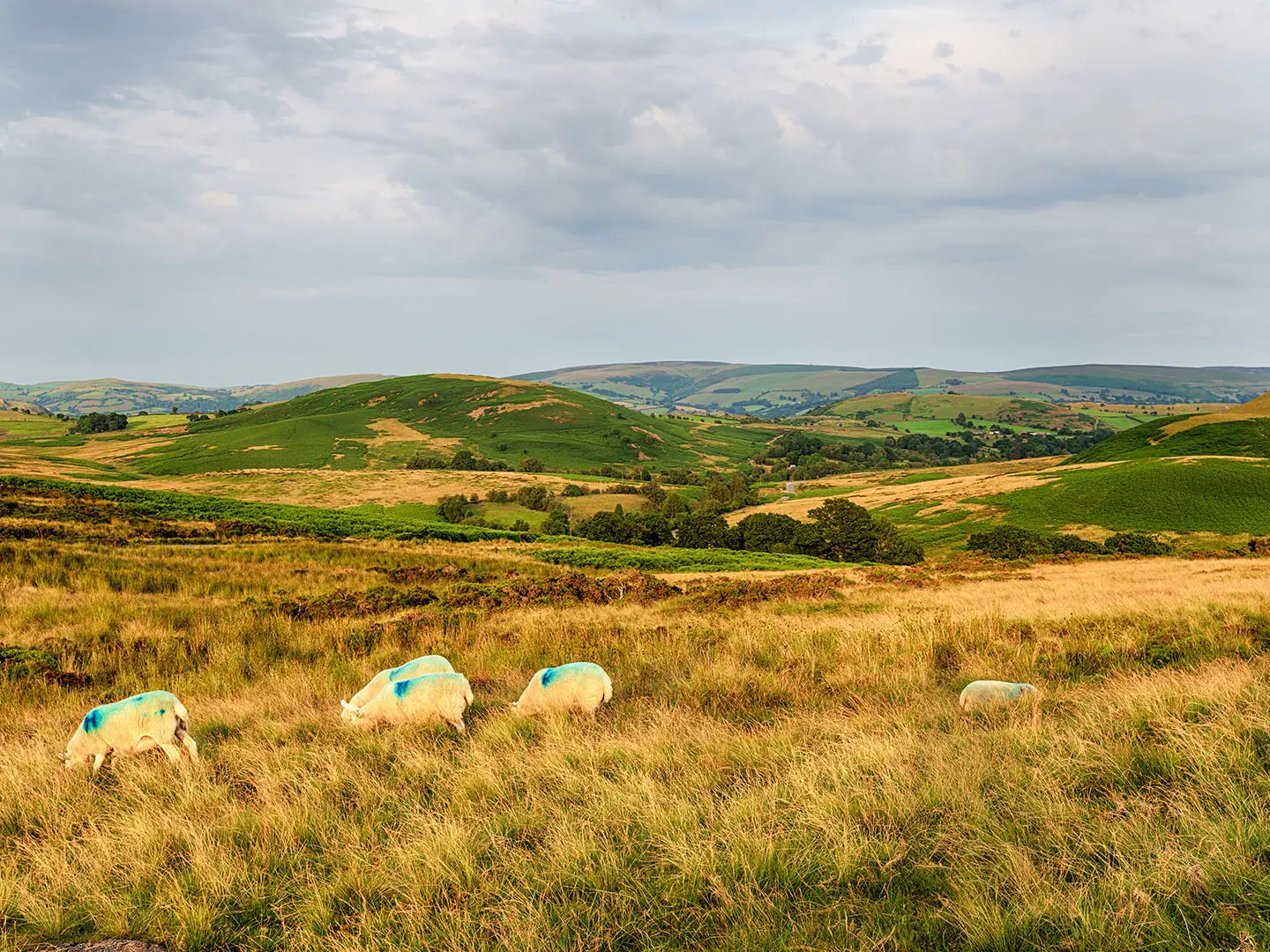
The Kerry Ridgeway is a 24 km point-to-point walk along an ancient ridge-top drovers’ road between Kerry/Ceri in Powys, Wales, and Bishop’s Castle in Shropshire, England. It is usually walked in one long day and is rated moderate: the gradients are modest, but the route is exposed, remote in places and has limited facilities. It suits hikers who want a historic, waymarked border walk on tracks, bridleways, lanes, moorland, forest and pasture.
Route Overview
Walk west to east from Cider House Farm, an old drovers’ stop near Kerry/Dolfor, towards Bishop’s Castle. This is the traditional droving direction and gives a gradual overall descent towards Shropshire. The route crosses Ceri Forest, reaches the high point at Two Tumps, passes features including Cross Dyke, the Cantlin Stone, Caer Din, the Offa’s Dyke crossing and Bishop’s Moat, then finishes in Bishop’s Castle. It is a linear route, so plan end-to-end transport or accommodation at both ends. For longer Welsh walking, compare the Beacons Way or the coastal Anglesey Coastal Path.
An Ancient Drovers’ Road
The Kerry Ridgeway is widely described as one of Britain’s oldest highways, with a ridge-top line that predates later earthworks such as Offa’s Dyke, Cross Dyke and nearby hillforts. For centuries it was used by drovers moving Welsh cattle and sheep east towards English markets, keeping to high, drier ground and avoiding boggy valleys and tolls. Drovers paused at the Cider House before going “over the top” and at old inn sites such as Castlewright and the Dog & Duck. Regular droving ended roughly 150 years ago with the railways.
Notable highlights
- Two Tumps (Bronze Age burial mounds): A pair of prehistoric round barrows beside the path and the route’s high point at about 506 m. They give the ridge a strong sense of age as well as wide upland views.
- Offa’s Dyke crossing: The Kerry Ridgeway cuts across Offa’s Dyke, the 8th-century earthwork associated with King Offa of Mercia. It links this quieter ridge route with the better-known Welsh border landscape.
- Bishop’s Moat: Earthwork remains of a Norman motte-and-bailey castle near the route. It marks the medieval frontier zone between Wales and the English Marches.
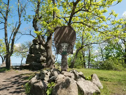
- Cantlin Stone: A small wayside memorial stone commemorating the pedlar William Cantlin, said to have died on the ridge. It is one of the route’s distinctive local curiosities.
- Caer Din and Iron Age earthworks: The ridge passes ancient defensive features including Caer Din and cross-dykes. These underline that the route was an established line across the uplands long before modern roads.
- Cross-border ridge views: The path keeps to high ground overlooking Powys on one side and Shropshire on the other, with reputed views of up to about 70 miles in clear conditions.
Challenges to expect
The walking is not technical, but the 24 km distance makes this a full day. Expect exposed high ground, changeable weather, mud after rain and stretches with few facilities. Surfaces vary from grassy and dirt tracks to gravel forest road and quiet tarmac lanes. Waymarking uses a weathervane symbol, but carry a map or GPX for poor visibility. For shorter Welsh outings, see the Aber Falls Walk; for another English option, see the Amber Valley Route.
HikeList Score
The Kerry Ridgeway scored 82/100 on HikeList's trail-quality metrics.
See score breakdownHide breakdown
- Ideal length 55
- Balanced challenge 100
- Scenery & wildness 98
- Varied terrain 89
- Accommodation 83
- Food & support 61
- Path quality 84
- Season flexibility 89
Computed from length, challenge, scenery & wildness, terrain variety, accommodation, food & support, path quality and season flexibility.
 United Kingdom
 England
 Wales
WalesShow more data Show less
- Hills
- Moorland
- Forest
- Dirt
- Gravel
- Grass
- Paved
- Hotels
- Guesthouses
- Campsites
- Family Friendly
- Pet Friendly
- Campsites
Photos from hikers
Taken on the trail by people who've reviewed The Kerry Ridgeway.
Reviews
How would you rate The Kerry Ridgeway?
Tap a star to start your review — you could be the first.