Tevno Lake and Demyanitsa Hut
How would you rate Tevno Lake and Demyanitsa Hut?
Tap a star to share your experience and help other hikers.
Tevno Lake and Demyanitsa Hut: Short Pirin Hut-to-Hut Hike
HikeList Score
Tevno Lake and Demyanitsa Hut scored 76/100 on HikeList's trail-quality metrics.
See score breakdownHide breakdown
- Ideal length 55
- Balanced challenge 94
- Scenery & wildness 98
- Varied terrain 64
- Accommodation 49
- Food & support 72
- Path quality 98
- Season flexibility 76
Computed from length, challenge, scenery & wildness, terrain variety, accommodation, food & support, path quality and season flexibility.
Tevno Lake and Demyanitsa Hut is a short, scenic 7 km point-to-point hike in the central Pirin Mountains of south-west Bulgaria. Linking Tevno Ezero shelter at 2512 m with Demyanitsa hut above Bansko, it is a moderate, half-day mountain connector on the high Pirin hut network. It suits hikers already moving between Pirin refuges who want a clear waymarked route with alpine lakes, rocky high ground and an easier forest finish.
Route Overview
The named direction descends from Tevno Ezero shelter on the eastern shore of Tevno Lake to Demyanitsa hut at 1895 m. From the lake, follow the red-marked ridge trail towards Mozgovishka porta, then leave it for the blue-marked descent past the Prevalski lakes and down the Valyavitsa river valley. The upper section is open, rocky and steep in places; the lower section becomes a dirt forest path through old conifers. The route is point-to-point between two manned huts. Many hikers continue from Demyanitsa towards Bansko on a separate marked path, but that is not part of this 7 km hut-to-hut connector. For comparison with other Bulgarian hikes, see the Bezbog to Popovo Lake Trail and Cherni Vrah Summit Trail.
Pirin Hut Network and E4 Context
Tevno Lake has long been a key junction in the high Pirin, with marked trails arriving from Bansko via Demyanitsa, Dobrinishte via Bezbog, Vihren hut and Kamenitsa hut above Sandanski. The European long-distance path E4 also passes the lake on the Vihren-to-Pirin hut line. Tevno Ezero shelter was built in 1972 by the Bulgarian Tourist Union to serve this exposed high-altitude crossing. The whole area lies inside Pirin National Park, a UNESCO World Heritage Site since 1983.
Notable highlights
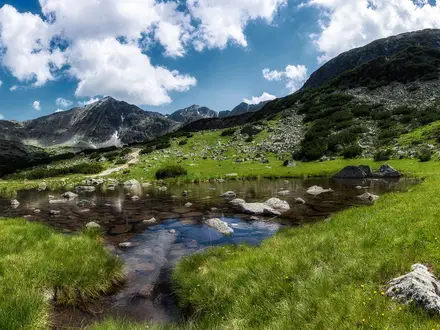
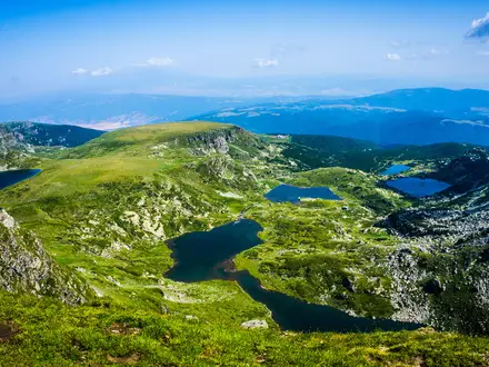
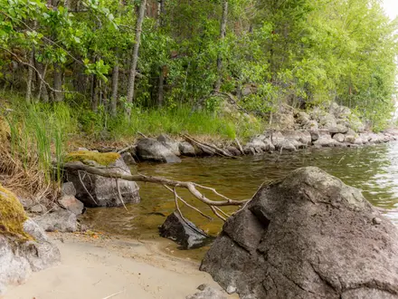
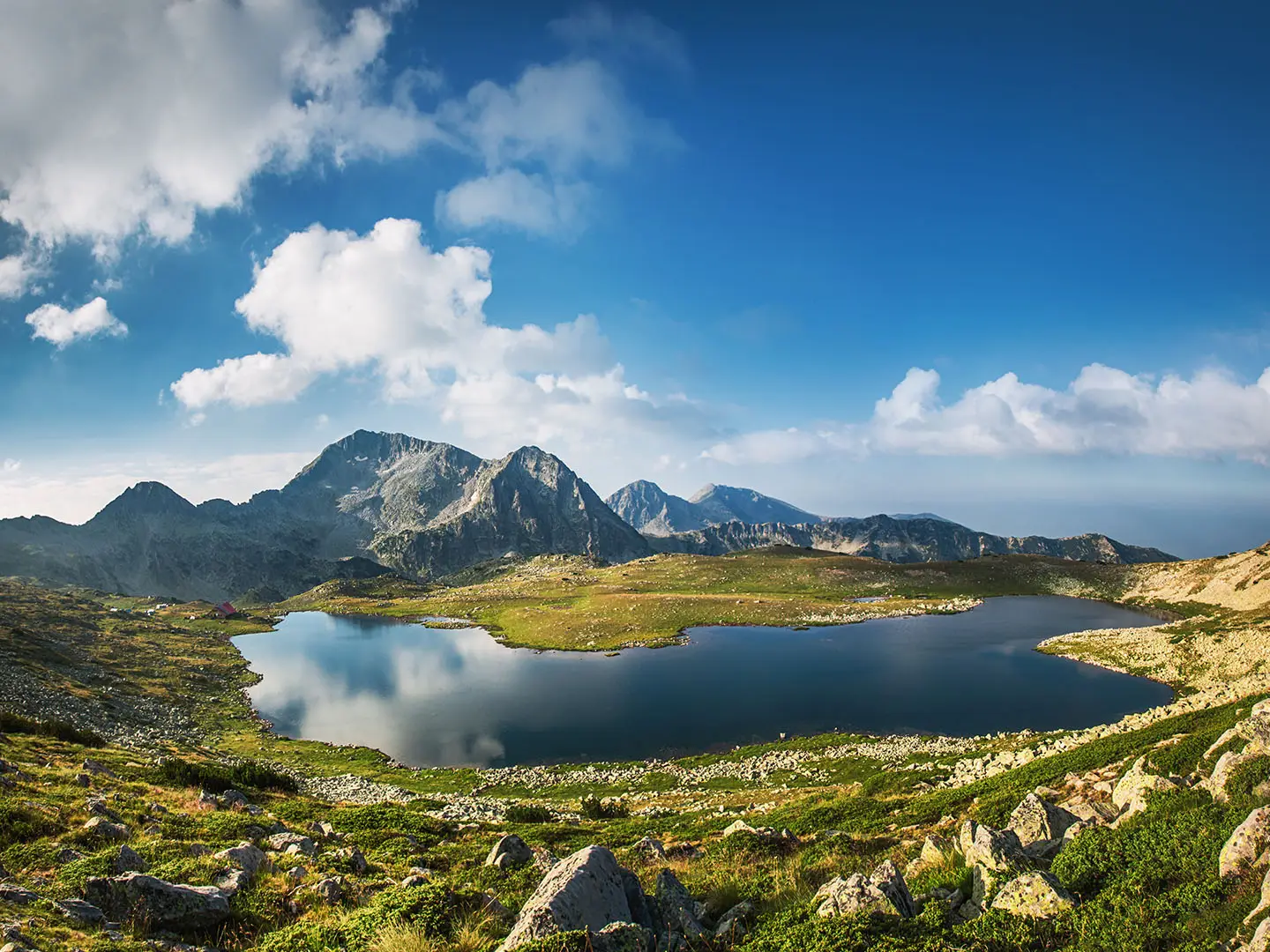
- Tevno Lake (Tevno Ezero, 2512–2515 m): A dark high mountain lake in the Belemeto cirque, with Tevno Ezero shelter on its eastern shore. It is the high point and classic starting view of the descent.
- Mozgovishka porta: The rocky saddle linking the Tevno Lake basin with the Valyavitsa valley. This is where the route changes from the red ridge trail to the blue descent.
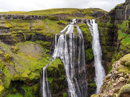
- Prevalski (Preval) lakes: Small emerald glacial tarns below the porta, with views towards Golyam Polezhan. They are the most scenic section of the descent.
- Valyavitsa river valley: The trail drops from rocky alpine ground into a sheltered valley beside the Valyavitsa river. The walking becomes easier as the route enters old conifer forest.
- Demyanitsa hut (1895 m): A large Pirin refuge at the meeting of the Strazhishka, Valyavishka and Vasilashka rivers. It is a major hut-network hub for onward marked routes to Bezbog, Vihren and the Valyavishki lakes.
Challenges to expect
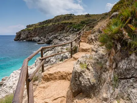
The main difficulty is the steep, very rocky switchbacked section around Mozgovishka porta and the Prevalski lakes. In rain or fog, footing and navigation become more serious, despite generally good red and blue waymarking. This is a summer to early-autumn route; winter slopes below the porta carry avalanche risk. Tevno Ezero shelter is often full in summer, so book ahead.
HikeList Score
Tevno Lake and Demyanitsa Hut scored 76/100 on HikeList's trail-quality metrics.
See score breakdownHide breakdown
- Ideal length 55
- Balanced challenge 94
- Scenery & wildness 98
- Varied terrain 64
- Accommodation 49
- Food & support 72
- Path quality 98
- Season flexibility 76
Computed from length, challenge, scenery & wildness, terrain variety, accommodation, food & support, path quality and season flexibility.
 Bulgaria
Show more data Show less
- Mountainous
- Forest
- Rocky
- Dirt
- Huts
- Family Friendly
- Pet Friendly
- Restrooms
- Water Sources
- Campsites
- Shelters
Photos from hikers
Taken on the trail by people who've reviewed Tevno Lake and Demyanitsa Hut.
Start at Tevno Ezero shelter beside Tevno Lake and follow the red-marked trail towards Mozgovishka porta. At the saddle, take the blue-marked descent past the Prevalski lakes, then continue down the Valyavitsa valley through conifer forest to Demyanitsa hut. Descending takes about 2 to 2.5 hours; walking the same route uphill from Demyanitsa to Tevno Lake takes about 4 hours. If planning a wider Bulgaria itinerary, you may also want to compare higher-mileage routes such as the Central Balkan Ridge Trail or Beklemeto to Kozya Stena.
Reviews
How would you rate Tevno Lake and Demyanitsa Hut?
Tap a star to start your review — you could be the first.