Swiss Path (Weg der Schweiz)
How would you rate Swiss Path (Weg der Schweiz)?
Tap a star to share your experience and help other hikers.
Swiss Path (Weg der Schweiz): Lake Uri History Walk
HikeList Score
Swiss Path (Weg der Schweiz) scored 82/100 on HikeList's trail-quality metrics.
See score breakdownHide breakdown
- Ideal length 63
- Balanced challenge 100
- Scenery & wildness 78
- Varied terrain 94
- Accommodation 74
- Food & support 88
- Path quality 80
- Season flexibility 89
Computed from length, challenge, scenery & wildness, terrain variety, accommodation, food & support, path quality and season flexibility.
The Swiss Path (Weg der Schweiz) is a 35 km point-to-point walking trail on Lake Uri, the southern arm of Lake Lucerne, in central Switzerland. Usually walked in 2 days, this national route No. 99 is moderate rather than technical: expect lakeside paths, forest, lanes and repeated climbs and descents totalling about 1,400 m. It suits hikers who want a short inn-to-inn route with strong transport links, lake scenery and Swiss founding-history landmarks rather than high-alpine terrain.
Route Overview
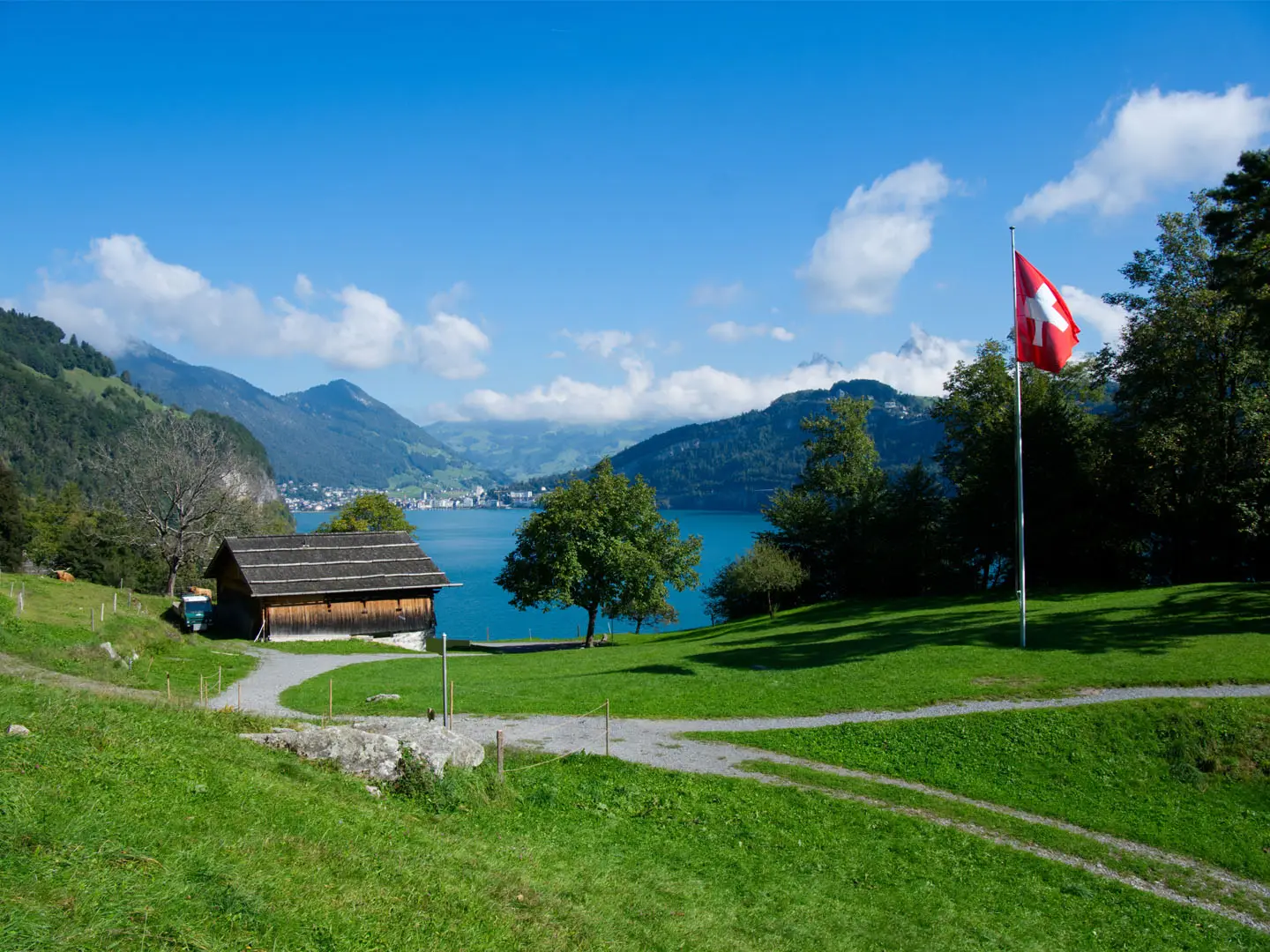
Walk the Swiss Path from the Rutli meadow to Brunnen, passing Bauen, Fluelen and Sisikon around Lake Uri. The start is normally reached by lake steamer or boat; the road trailhead is at Seelisberg above the meadow. The finish is at Brunnen’s Platz der Auslandschweizer. It is not a loop: boats and trains from Brunnen, Lucerne and Fluelen make the start, finish and individual stages easy to link. The route is commonly broken into four sections: Rutli to Bauen, Bauen to Fluelen, Fluelen to Sisikon, and Sisikon to Brunnen, with the full walk taking about 10 hours of walking time.
Why the Swiss Path matters
The Swiss Path was created in 1991 for the 700th anniversary of the Federal Charter of 1291. It begins at the Rutli, the meadow traditionally linked with the Rutli Oath and the founding of the Swiss Confederation, then follows Lake Uri through the historic heartland of Uri, Schwyz and Unterwalden. Its design is deliberately symbolic: all 26 cantons have a section, sized to their 1991 population and ordered by when they joined the Confederation.
Notable highlights
Rutli meadow: The starting point and a national shrine above Lake Uri, traditionally regarded as the birthplace of Switzerland and linked with the Rutli Oath of 1291.
Tell Chapel (Tellskapelle): A lakeside chapel near Sisikon, decorated with frescoes and tied to the William Tell legend, where Tell is said to have escaped from Gessler’s boat.
Schillerstein: A 25 m natural rock obelisk in Lake Uri, dedicated in 1859 to Friedrich Schiller, whose play Wilhelm Tell helped spread the lake’s founding legend.
Canton sections and panels: The route’s defining feature. Each of the 26 cantons has a trail section proportional to its 1991 population, with interpretive panels marking the sequence.
Axenstrasse and Lake Uri cliffs: The path passes near the historic Axenstrasse, cut into the rock walls of Lake Uri’s eastern shore, with strong views across the lake.
Brunnen and the Platz der Auslandschweizer: The finish at the Square of the Swiss Abroad, looking across the meeting point of Lake Uri and the wider Lake Lucerne.
Challenges to expect
The walking is not technical, but the effort adds up: 1,400 m of ascent and descent over 35 km, with repeated climbs from the lake, especially around Seelisberg and out of Fluelen. Surfaces mix dirt, gravel, paved lanes and short road sections. Navigation is straightforward on national route 99. Check boat times for the Rutli start. If this is too short, compare the Alpine Pass Route (Route 6) or the Bernina Trek.
HikeList Score
Swiss Path (Weg der Schweiz) scored 82/100 on HikeList's trail-quality metrics.
See score breakdownHide breakdown
- Ideal length 63
- Balanced challenge 100
- Scenery & wildness 78
- Varied terrain 94
- Accommodation 74
- Food & support 88
- Path quality 80
- Season flexibility 89
Computed from length, challenge, scenery & wildness, terrain variety, accommodation, food & support, path quality and season flexibility.
 Switzerland
Show more data Show less
- Lakeshore
- Forest
- Hills
- Alpine Foothills
- Dirt
- Gravel
- Paved
- Hotels
- Guesthouses
- Family Friendly
- Pet Friendly
- Restrooms
- Water Sources
- Campsites
- Shelters
- Picnic Areas
In these collections
Photos from hikers
Taken on the trail by people who've reviewed Swiss Path (Weg der Schweiz).
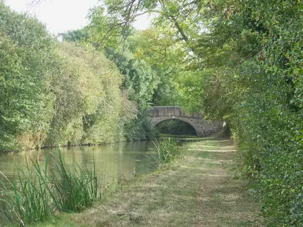
Start at the Rutli meadow, reached by lake steamer or boat, or from the road trailhead at Seelisberg above it. This first section follows national route 99 towards Bauen and takes about 3 hours.
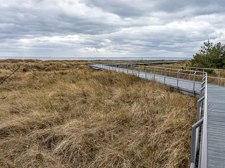
Continue along Lake Uri to Fluelen at the head of the lake. This is one of the longer sections and is listed at about 2.5 hours of walking.
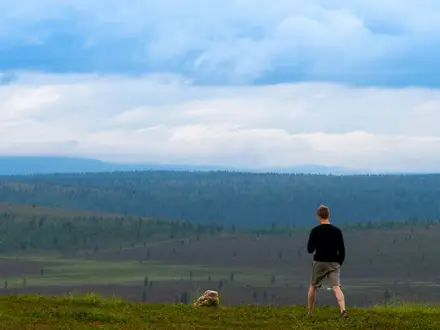
Follow the eastern side of Lake Uri from Fluelen to Sisikon. The route passes close to key founding-history landmarks, including the Tell Chapel near Sisikon, and takes about 2.5 hours.
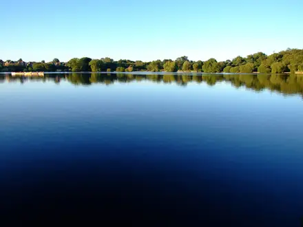
The final section runs from Sisikon towards Brunnen, near the Lake Uri cliffs and the historic Axenstrasse, ending at the Platz der Auslandschweizer. Allow about 2.5 hours.
Reviews
How would you rate Swiss Path (Weg der Schweiz)?
Tap a star to start your review — you could be the first.