Strathkelvin Railway Path
How would you rate Strathkelvin Railway Path?
Tap a star to share your experience and help other hikers.
Strathkelvin Railway Path: Easy Rail-Trail Beneath the Campsie Fells
HikeList Score
Strathkelvin Railway Path scored 68/100 on HikeList's trail-quality metrics.
See score breakdownHide breakdown
- Ideal length 55
- Balanced challenge 50
- Scenery & wildness 78
- Varied terrain 87
- Accommodation 91
- Food & support 68
- Path quality 37
- Season flexibility 63
Computed from length, challenge, scenery & wildness, terrain variety, accommodation, food & support, path quality and season flexibility.
The Strathkelvin Railway Path is a flat, surfaced rail-trail in East Dunbartonshire, Scotland, running about 12.5 km from Strathblane to Kirkintilloch. It is an easy one-day walk, suitable for families, young children and most abilities, with negligible climbing and full waymarking. The route follows dismantled railway lines beneath the Campsie Fells, passing Blanefield, Lennoxtown and Milton of Campsie. It also carries the John Muir Way and National Cycle Network Route 755.
Route Overview
The main waymarked route is a point-to-point walk from Strathblane, near Strathblane Parish Church and the Kirkhouse Inn on the A891, to Kirkintilloch on the A803. Most walkers follow it west to east through Blanefield, past Dunglass, Lennoxtown, Campsie Glen / Campsie Village and Milton of Campsie before reaching Kirkintilloch. The corridor is rural for much of its length, with wooded cuttings, farmland and river-valley sections near the Blane Water, Glazert Water, Pow Burn and River Kelvin. Because it is linear, plan your return to the start or walk it as an out-and-back. For longer Scottish routes, compare the Annandale Way or the Ayrshire Coastal Path.
Railway history of the Strathkelvin Railway Path
The path uses two dismantled railway alignments. The Campsie Branch of the Edinburgh & Glasgow Railway opened on 5 July 1848 from Lenzie via Kirkintilloch to Lennoxtown. The Blane Valley Railway, authorised by an 1861 Act and worked by the North British Railway, extended passenger services north from 1 July 1867 via Campsie Glen, Strathblane and Blanefield toward Killearn. Passenger services ended in 1951 and freight ceased around October 1959, before the trackbed was later reopened for walking and cycling.
Notable highlights
Dunglass volcanic plug: A basalt volcanic plug roughly a mile from the Strathblane end, beside the path. A short detour gives wide views, and the exposed columnar basalt and quarrying marks make it one of the route’s clearest geological features.
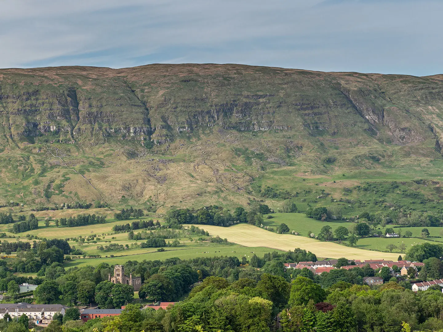
Campsie Fells and Strathblane Hills: These hills form a near-constant backdrop above the route. Their rock layers record successive lava flows from around 300 million years ago.
Lennox Castle: The ruined Lennox Castle, later used as a hospital, stands on a ridge above Campsie Village and Lennoxtown. It is visible from the route rather than directly on the path.
Milton of Campsie station remains: Sections of the old railway platform survive beside the path at Milton of Campsie. They are a direct reminder that this was once an active railway corridor.
John Muir Way link: The Strathkelvin Railway Path carries the John Muir Way between Strathblane and Kirkintilloch. This coast-to-coast route is named after John Muir, the Scots-born conservationist associated with America’s national parks.
Challenges to expect
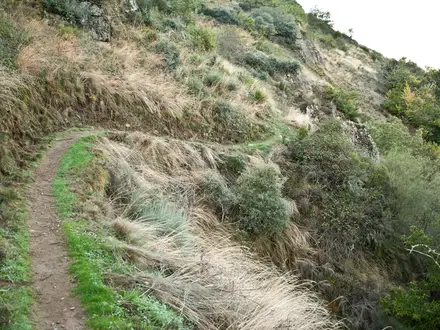
This is an easy route, but it is not completely flawless underfoot: most of the path is smooth tarmac, while some tree-root sections are bumpy. It is shared with cyclists on National Cycle Network Route 755, so keep aware on narrower stretches. Navigation is straightforward because the route is fully waymarked, but the point-to-point layout means you need a return plan. If you want a more remote Scottish trail, see the Assynt Coastal Path or Arran Coastal Way.
HikeList Score
Strathkelvin Railway Path scored 68/100 on HikeList's trail-quality metrics.
See score breakdownHide breakdown
- Ideal length 55
- Balanced challenge 50
- Scenery & wildness 78
- Varied terrain 87
- Accommodation 91
- Food & support 68
- Path quality 37
- Season flexibility 63
Computed from length, challenge, scenery & wildness, terrain variety, accommodation, food & support, path quality and season flexibility.
 United Kingdom
 Scotland
Show more data Show less
- Woodland
- Farmland
- River Valley
- Rural
- Paved
- Tarmac
- Hotels
- Inns
- B&Bs
- Family Friendly
- Pet Friendly
- Wheelchair Accessible
- Stroller Accessible
- Restrooms
- Picnic Areas
In these collections
Photos from hikers
Taken on the trail by people who've reviewed Strathkelvin Railway Path.
Reviews
How would you rate Strathkelvin Railway Path?
Tap a star to start your review — you could be the first.