Ruta de las Fuentes
How would you rate Ruta de las Fuentes?
Tap a star to share your experience and help other hikers.
Ruta de las Fuentes: Navajas Waterfalls and Fountains Walk
HikeList Score
Ruta de las Fuentes scored 64/100 on HikeList's trail-quality metrics.
See score breakdownHide breakdown
- Ideal length 55
- Balanced challenge 60
- Scenery & wildness 68
- Varied terrain 94
- Accommodation 45
- Food & support 58
- Path quality 80
- Season flexibility 76
Computed from length, challenge, scenery & wildness, terrain variety, accommodation, food & support, path quality and season flexibility.
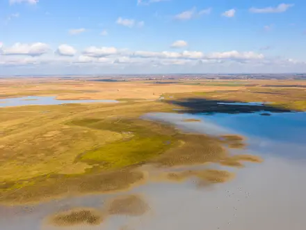
The Ruta de las Fuentes is an easy, signposted day-walk from Navajas in Alto Palancia, Castellón, eastern Spain. The full circular route is approximately 12 km, takes about 3–4 hours, and follows gentle Palancia River valley terrain past historic public fountains, the Salto de la Novia waterfall and, on the longer variant, Segorbe. It suits families, casual hikers and dog walkers looking for a half-day route with water, shade in places and cultural stops rather than a mountain climb.
Route Overview
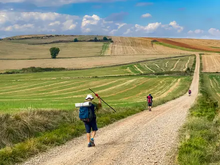
The usual walk starts in Navajas village, commonly by the Olmo de Navajas, then links the Palancia River, the chain of historic fountains, the Salto de la Novia / Cascada del Brazal and the Mirador del Paraíso. The fuller circular version continues towards Segorbe, where key stops include the medieval aqueduct, cathedral area and Fuente de los 50 Caños, before returning to Navajas. Shorter walkers can treat the waterfall as an out-and-back objective. If you want a longer Spanish walking holiday rather than a half-day river route, compare the Camino de Santiago Camino Francés or the coastal Camino del Norte.
Fountains, Spa Waters and the Palancia Valley
Navajas developed around spring-fed public fountains whose mineral-medicinal waters were valued locally and attracted visitors from the 19th century onwards. The Ruta de las Fuentes formalises a walk between these communal water sources, washhouses and the Salto de la Novia, whose name is tied to a local bride-leaping legend. The Segorbe extension adds more heritage, including the Fuente de los 50 Caños, built in 1957 with one spout for each Spanish province.
Notable highlights
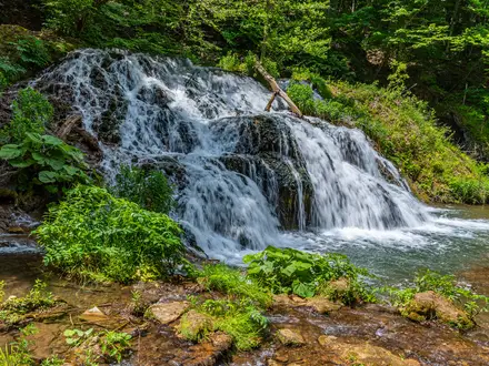
- Salto de la Novia: A protected natural site on the Palancia River near Navajas, with the Cascada del Brazal falling into the gorge. The name comes from a local tradition about a bride leaping the river before marriage.
- Historic fountains of Navajas: The route links roughly a dozen public fountains fed by Palancia springs, including Fuente del Hierro / Fuente de los Trece Caños, Fuente Virgen de la Luz, Fuente del Baño and Fuente de Mosen Miguel.
- Fuente de los 50 Caños, Segorbe: A monumental 1957 fountain with fifty spouts, each marked with the name and shield of a Spanish province. It is a common extension or turning point on the walk.
- Olmo de Navajas: An ancient elm in Navajas village and a common starting landmark for the route. It was voted Spain’s Tree of the Year in 2019.
- Mirador del Paraíso: A viewpoint over the Palancia valley and the Salto de la Novia gorge, useful for seeing the river landscape from above.
- Segorbe aqueduct and cathedral: The longer variant reaches Segorbe’s medieval aqueduct, old walls and cathedral area, adding an urban heritage finish to the river-valley walk.
Challenges to expect
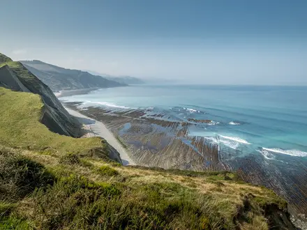
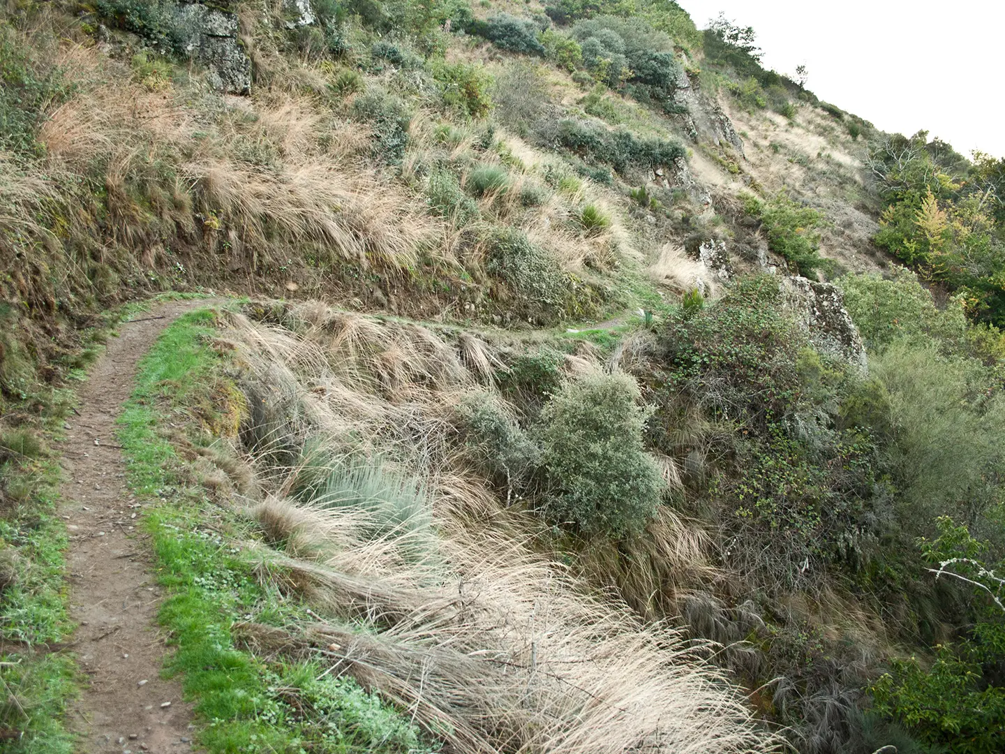
This is an easy route, but expect mixed surfaces: riverside paths, irrigation-channel tracks, dirt, rocky or paved sections and village streets. Navigation is generally straightforward because the walk is signposted, though variants change the total distance. Summer heat is the main issue; spring and autumn are more comfortable, with October especially recommended. For bigger Spanish terrain, see the Alpujarras Trail or the Camí de Ronda Costa Brava Trail.
HikeList Score
Ruta de las Fuentes scored 64/100 on HikeList's trail-quality metrics.
See score breakdownHide breakdown
- Ideal length 55
- Balanced challenge 60
- Scenery & wildness 68
- Varied terrain 94
- Accommodation 45
- Food & support 58
- Path quality 80
- Season flexibility 76
Computed from length, challenge, scenery & wildness, terrain variety, accommodation, food & support, path quality and season flexibility.
Show more data Show less
- River Valley
- Riparian Woodland
- Orchards
- Village
- Dirt
- Rocky
- Paved
- Accommodation Not Required
- Family Friendly
- Pet Friendly
- Water Sources
- Picnic Areas
Photos from hikers
Taken on the trail by people who've reviewed Ruta de las Fuentes.
Reviews
How would you rate Ruta de las Fuentes?
Tap a star to start your review — you could be the first.