Sprengisandur Route
How would you rate Sprengisandur Route?
Tap a star to share your experience and help other hikers.
Sprengisandur Route: Iceland’s F26 Highland Crossing
HikeList Score
Sprengisandur Route scored 76/100 on HikeList's trail-quality metrics.
See score breakdownHide breakdown
- Ideal length 100
- Balanced challenge 44
- Scenery & wildness 98
- Varied terrain 71
- Accommodation 67
- Food & support 52
- Path quality 98
- Season flexibility 63
Computed from length, challenge, scenery & wildness, terrain variety, accommodation, food & support, path quality and season flexibility.
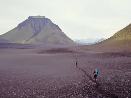
The Sprengisandur Route is a roughly 200 km, 7-day expert crossing of central Iceland on Route F26, the longest highland road in the country. It runs across the barren Sprengisandur plateau between Hofsjokull and Vatnajokull, following a rough 4x4 gravel track rather than a built or continuously waymarked hiking trail. This is for highly self-sufficient trekkers comfortable with glacial river fords, exposed desert terrain, minimal shelter and unreliable phone signal.
Route Overview
Sprengisandur is a linear point-to-point traverse, usually taken north–south or south–north. The southern gateway is around Hrauneyjar, Thorisvatn and Sigalda, where Route 26 climbs into the interior northeast of Hekla; the northern end is in the south of Bardardalur valley, continuing towards Godafoss, Lake Myvatn and Akureyri. Key places include Versalir, Nyidalur hut and campsite near the halfway point, the Hagakvisl ford, Thjorsarver, Tungnafellsjokull, Skjalfandafljot and Aldeyjarfoss. Unlike the Fimmvörðuháls Trail, this is not a compact marked trail; for another serious Icelandic wilderness route, compare the Askja highland trek.
History of the Sprengisandur Crossing
Sprengisandur has been used as a north–south shortcut across Iceland since the Settlement Age, mainly on horseback. Its name is linked to “sprengja”, meaning to ride a horse to exhaustion, and to the wind-blown sands of the plateau. The route’s old reputation was harsh: waterless ground, outlaws, ghosts and urgent crossings before nightfall. The outlaw Fjalla-Eyvindur and his wife Halla are tied to these highlands, and the feared landscape inspired the Icelandic song “A Sprengisandi”.
Notable highlights
- Nyidalur (820 m): The main refuge on the crossing, roughly halfway across the plateau, with huts, the only formal campsite and a summer ranger station. For walkers it is the key shelter point in an otherwise empty route.
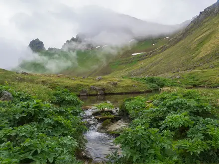
- Sprengisandur sand desert: A vast black volcanic sand-and-gravel plain between ice caps, with long, exposed sections and little visual shelter. Its scale is the defining feature of the route.
- Hofsjokull and Vatnajokull ice caps: The crossing runs between Hofsjokull to the west and Vatnajokull, with Tungnafellsjokull, to the east. In clear weather they give constant orientation across the plateau.
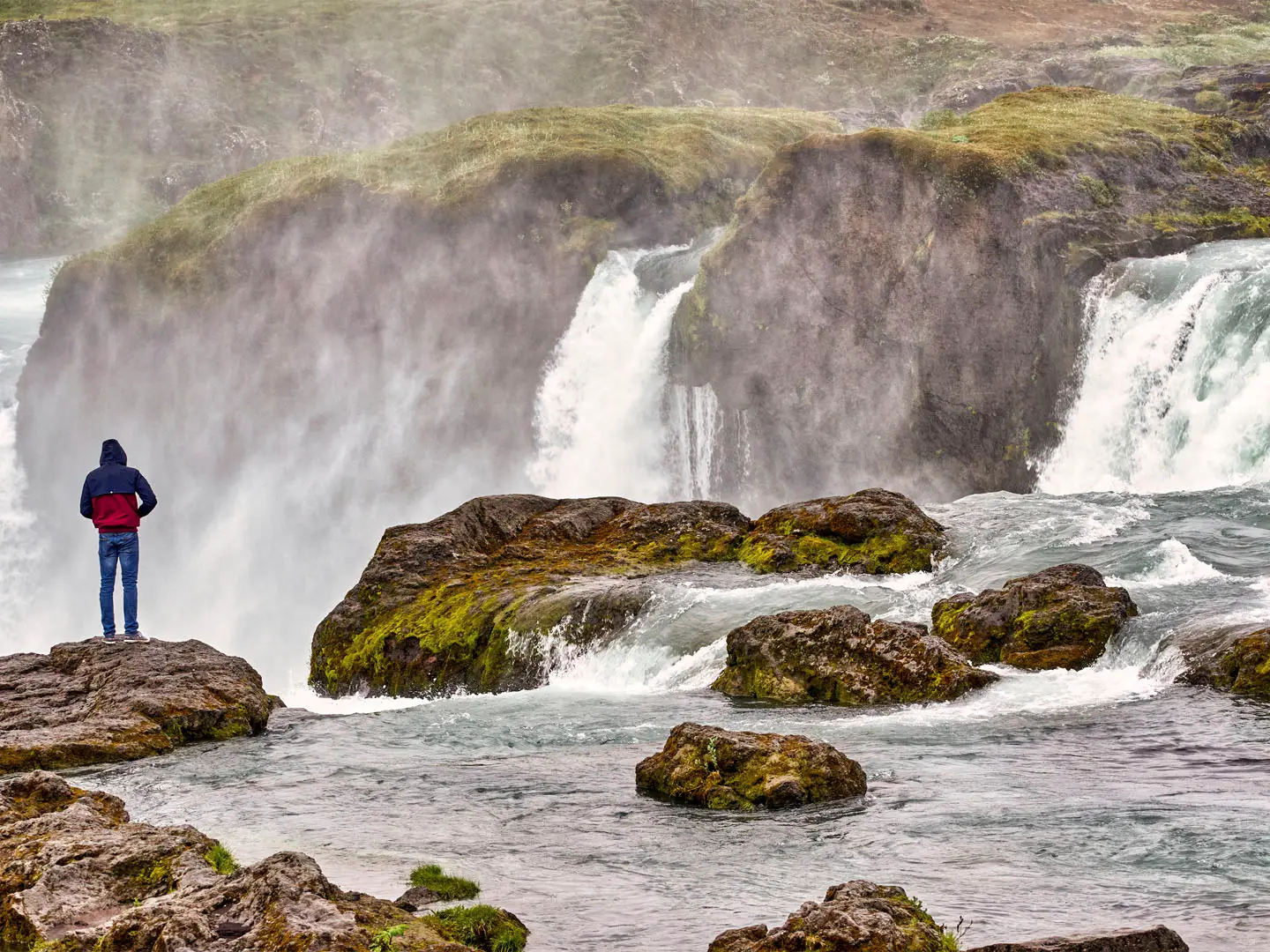
- Aldeyjarfoss: Near the northern end, Skjalfandafljot drops about 20 m through dark basalt columns. It is one of the most striking scenic stops on the approach to Bardardalur.
- Thjorsarver: A highland wetland oasis south of Hofsjokull and a Ramsar-listed site important for pink-footed geese. It lies off the southern part of the route.
- Hagakvisl ford and glacial rivers: The F26 involves around 15 unbridged fords. Hagakvisl near Nyidalur is a major crossing and can become impassable after warm or wet weather.
Challenges to expect
Expect extreme remoteness, long exposed sections of volcanic sand and gravel, minimal waymarking and no services between the gateways. Around 15 unbridged river fords are the main hazard; glacial rivers can rise quickly and stop progress. Wind, cold rain, snow patches and poor visibility are possible even in summer. Carry all food, camping gear and navigation backups. For remote Iceland without the F26 road corridor, see the Hornstrandir Trek.
HikeList Score
Sprengisandur Route scored 76/100 on HikeList's trail-quality metrics.
See score breakdownHide breakdown
- Ideal length 100
- Balanced challenge 44
- Scenery & wildness 98
- Varied terrain 71
- Accommodation 67
- Food & support 52
- Path quality 98
- Season flexibility 63
Computed from length, challenge, scenery & wildness, terrain variety, accommodation, food & support, path quality and season flexibility.
 Iceland
Show more data Show less
- Desert
- Mountainous
- Gravel
- Rocky
- Sand
- Huts
- Wild Camping Spots
- Campsites
- Pet Friendly
- Campsites
- Shelters
Photos from hikers
Taken on the trail by people who've reviewed Sprengisandur Route.
Reviews
How would you rate Sprengisandur Route?
Tap a star to start your review — you could be the first.