Spreewald Loop
How would you rate Spreewald Loop?
Tap a star to share your experience and help other hikers.
Spreewald Loop: Flat Canal Walking from Lübbenau
HikeList Score
Spreewald Loop scored 74/100 on HikeList's trail-quality metrics.
See score breakdownHide breakdown
- Ideal length 55
- Balanced challenge 50
- Scenery & wildness 98
- Varied terrain 71
- Accommodation 66
- Food & support 88
- Path quality 98
- Season flexibility 89
Computed from length, challenge, scenery & wildness, terrain variety, accommodation, food & support, path quality and season flexibility.
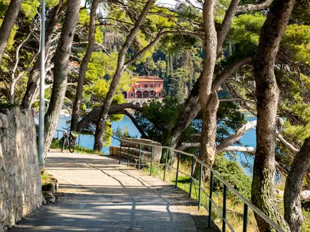
The Spreewald Loop is an 18 km, one-day, easy circular walk from Lübbenau/Spreewald in Brandenburg, Germany, about 100 km south-east of Berlin. It crosses the UNESCO Spreewald Biosphere Reserve, a flat inland delta of the River Spree, linking Lübbenau with Lehde and Leipe by forest paths, gravel tracks and canal-side trails. With about 40 m of ascent, it suits beginners, relaxed walkers and anyone wanting a low-effort day among waterways, alder forest, footbridges and Spreewald villages.
Route Overview
Start and finish at the Großer Spreewaldhafen, the large boat harbour in Lübbenau’s old town. The popular core loop runs Lübbenau – Leipe – Lehde – Lübbenau, using well-built forest paths, waterway-side tracks and short bridge or boardwalk sections across the Fließe canals. Key places include Schloss Lübbenau park, the high forest between Leipe and Lehde, the canal village of Lehde and inns such as Wotschofska and Pohlenzschänke. As a loop, no end-to-end transfer is needed. For a forest-focused German alternative, compare the Hainich National Park Trail; for sandstone scenery, see the Elbe Sandstone Mountains Trail.
Sorbian Waterways and a UNESCO Biosphere Reserve
The Spreewald is a flood-plain inland delta in Lower Lusatia, a historic settlement area of the Lower Sorbs, also known as Wends. The region is officially bilingual in German and Lower Sorbian, and its canal network developed over centuries for drainage, farming and transport. UNESCO designated the 484 km² Spreewald a biosphere reserve in 1991, recognising its mosaic of waterways, alder forest, meadow and bog. Lehde’s Freilandmuseum has preserved Sorbian farmstead life since 1975.
Notable highlights
- Lübbenau: The start and finish point, centred on the Großer Spreewaldhafen where traditional flat-bottomed Spreewaldkähne punts depart. Schloss Lübbenau and its park are close to the route.
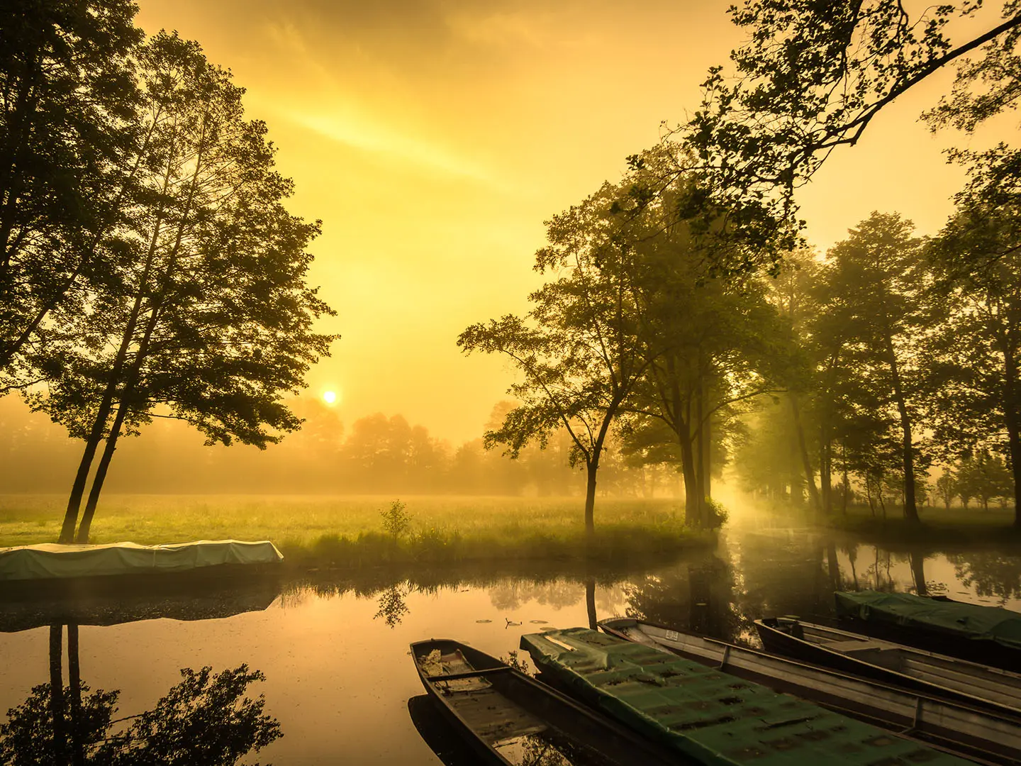
- Lehde: A small heritage-protected canal village where post and refuse are still delivered by boat. Theodor Fontane called it “Venedig im Kleinen” — Venice in miniature.
- Freilandmuseum Lehde: Brandenburg’s oldest open-air museum, open since 1975, with thatched Sorbian/Wendish farmsteads, barns and gardens showing traditional Spreewald life.
- Leipe and the high forest: A canal village deep in the reserve, reached by one of the best woodland stretches beside the Fließe. Its guesthouses make it a practical lunch stop.
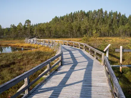
- Spreewald canals: The reserve contains more than 200 natural and man-made channels totalling about 1,300 km. The walk repeatedly crosses them on small wooden bridges.
- Spreewald gherkins: Spreewälder Gurken have EU Protected Geographical Indication status, and pickle stalls or farm shops let walkers try the local speciality.
Challenges to expect
This is an easy route, but the distance is still 18 km, so allow a full day if you stop in Lehde or Leipe. The ground is flat, with negligible ascent, but paths can be muddy after rain and wooden bridges may be slippery. Some gravel and forest sections are shared with cyclists. Winter is quieter, but flooding can affect the low-lying reserve. For more upland walking, consider the Brocken Circuit or Harzer Hexenstieg.
HikeList Score
Spreewald Loop scored 74/100 on HikeList's trail-quality metrics.
See score breakdownHide breakdown
- Ideal length 55
- Balanced challenge 50
- Scenery & wildness 98
- Varied terrain 71
- Accommodation 66
- Food & support 88
- Path quality 98
- Season flexibility 89
Computed from length, challenge, scenery & wildness, terrain variety, accommodation, food & support, path quality and season flexibility.
 Germany
Show more data Show less
- Forest
- Wetlands
- Dirt
- Gravel
- Boardwalk
- Hotels
- Campsites
- Family Friendly
- Pet Friendly
- Restrooms
- Water Sources
- Campsites
- Picnic Areas
Photos from hikers
Taken on the trail by people who've reviewed Spreewald Loop.
Reviews
How would you rate Spreewald Loop?
Tap a star to start your review — you could be the first.