Sierra de Guadarrama Trails
How would you rate Sierra de Guadarrama Trails?
Tap a star to share your experience and help other hikers.
Sierra de Guadarrama Trails: Peñalara Day Hike Guide
HikeList Score
Sierra de Guadarrama Trails scored 82/100 on HikeList's trail-quality metrics.
See score breakdownHide breakdown
- Ideal length 55
- Balanced challenge 100
- Scenery & wildness 98
- Varied terrain 64
- Accommodation 75
- Food & support 88
- Path quality 98
- Season flexibility 89
Computed from length, challenge, scenery & wildness, terrain variety, accommodation, food & support, path quality and season flexibility.
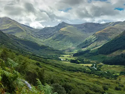
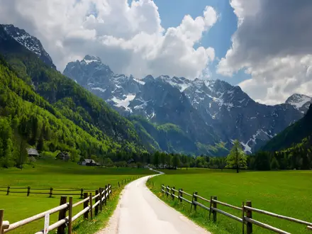
The Sierra de Guadarrama Trails are a network of mountain day walks in central Spain, about 50 km northwest of Madrid. The headline route is the 13 km Peñalara circular from Puerto de Cotos, a moderate one-day hike with about 700 m of ascent to Pico de Peñalara, the range’s highest summit. It suits fit day hikers who want a high-mountain route with waymarked paths, rocky ground, glacial lagoons and real weather exposure without committing to a multi-day trek.
Route Overview
The standard Peñalara circuit starts and finishes at Puerto de Cotos (Puerto de los Cotos), where the Casa del Parque del Puerto de Cotos visitor centre provides route information and current access conditions. From the pass, the route begins on forest track through Scots pine, then climbs into open high-mountain scrub and a rocky, milestone-marked summit ridge. Key places include the Zabala shelter site, Pico de Peñalara, Laguna Grande de Peñalara, Laguna de los Pájaros and Laguna de los Claveles. Puerto de Cotos is reachable by car, bus or the C-9 narrow-gauge train from Cercedilla. For longer Spanish trips, compare it with the hut-to-hut Carros de Foc, the Camino Francés or the coastal Camí de Ronda.
Guadarrama history and mountain culture
The Guadarrama passes have long linked and divided the two sides of Castile, with medieval shepherds using them for transhumance routes. In the early 1900s, the Real Sociedad de Alpinismo Peñalara helped establish modern mountaineering in the range. The Camino Schmid, traced in 1926 by Austrian climber Eduard Schmid, became one of Spain’s early signed hiking trails. During the Spanish Civil War, the sierra was a front in the Battle of Guadarrama, and trenches and fortifications remain on several summits and passes.
Notable highlights
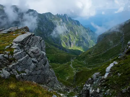
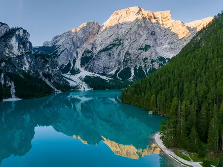
- Pico de Peñalara (2,428 m): The highest peak in the Sierra de Guadarrama and the Community of Madrid, on the Madrid-Segovia border. The rocky summit ridge gives broad views across the Sistema Central.
- Laguna Grande de Peñalara: A glacial lake in a cirque below the summit and the largest of the park’s roughly twenty ice-carved lakes. Access is regulated to protect the fragile shoreline.
- Peñalara glacial cirque and lagoons: One of the best-preserved glacial cirque systems in the Sistema Central, with moraines and lakes including Laguna de los Pájaros and Laguna de los Claveles.
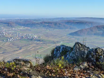
- Puerto de Cotos visitor centre: The Casa del Parque at the trailhead has restrooms, route information and updates on access limits, closures and winter risk.
- La Pedriza: A granite massif above Manzanares el Real, known for weathered boulders and slabs. It is a major Guadarrama area for scramblers and rock climbers.
- Valle de la Fuenfría and Camino Schmid: A pine-clad valley near Cercedilla with stretches of Roman road and gentler paths. The Camino Schmid crosses the northern slope of Siete Picos.
Challenges to expect
Weather is the main challenge. Conditions can shift quickly at altitude, with cold wind, fog and summer afternoon thunderstorms; in winter the upper Peñalara route has snow, ice and avalanche risk. The climb is sustained and the summit ridge is rocky and uneven, so wear proper footwear. Main paths are waymarked, but connecting trails can be sparse: carry a map or GPS and start early.
HikeList Score
Sierra de Guadarrama Trails scored 82/100 on HikeList's trail-quality metrics.
See score breakdownHide breakdown
- Ideal length 55
- Balanced challenge 100
- Scenery & wildness 98
- Varied terrain 64
- Accommodation 75
- Food & support 88
- Path quality 98
- Season flexibility 89
Computed from length, challenge, scenery & wildness, terrain variety, accommodation, food & support, path quality and season flexibility.
Show more data Show less
- Mountainous
- Forest
- Dirt
- Rocky
- Hotels
- Huts
- Campsites
- Family Friendly
- Pet Friendly
- Restrooms
- Water Sources
- Campsites
- Shelters
- Picnic Areas
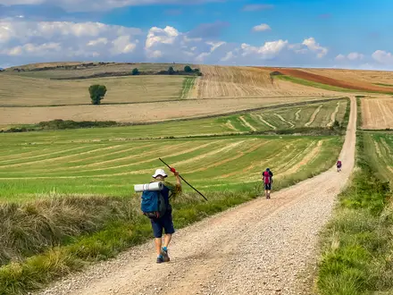
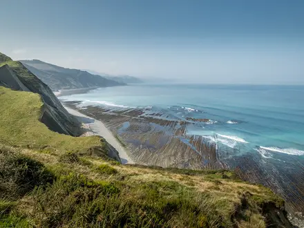
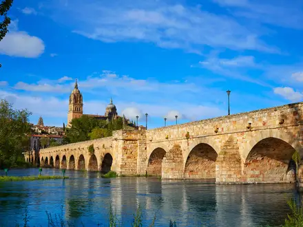
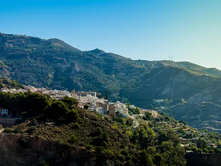
Photos from hikers
Taken on the trail by people who've reviewed Sierra de Guadarrama Trails.
Reviews
How would you rate Sierra de Guadarrama Trails?
Tap a star to start your review — you could be the first.