Sierra de Gata Circular Route
How would you rate Sierra de Gata Circular Route?
Tap a star to share your experience and help other hikers.
Sierra de Gata Circular Route: Pico Jalama Day Loop
HikeList Score
Sierra de Gata Circular Route scored 79/100 on HikeList's trail-quality metrics.
See score breakdownHide breakdown
- Ideal length 55
- Balanced challenge 80
- Scenery & wildness 98
- Varied terrain 71
- Accommodation 74
- Food & support 81
- Path quality 98
- Season flexibility 76
Computed from length, challenge, scenery & wildness, terrain variety, accommodation, food & support, path quality and season flexibility.
The Sierra de Gata Circular Route is an approximately 18.5 km, 1-day hard loop in north-west Extremadura, Spain, starting and finishing in San Martin de Trevejo. The best-supported route behind this listing is the circular ascent of Pico Jalama, the 1,492 m high point of the Sierra de Gata, on the Spanish-Portuguese border. Expect a long climb, forest tracks, rocky and gravel paths, and a rough stone-paved descent. It suits fit hikers wanting a demanding mountain day rather than a hut-to-hut trek like the Alpujarras Trail.
Route Overview
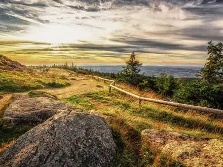
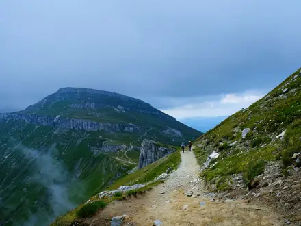
This is a loop from San Martin de Trevejo, climbing through chestnut and oak woodland on the Ojesto / Santa Clara side to Puerto de Santa Clara, then following the ridge towards Pico Jalama. Near the top the route passes a restored pozo de nieve before reaching the open summit on the Spain-Portugal frontier. The descent returns towards San Martin de Trevejo by an old Roman-style calzada, an uneven stone-paved track that is memorable but tiring underfoot. There is no verified public transport detail in the brief, so plan access to San Martin de Trevejo separately. For a very different Spanish waymarked experience, compare the pilgrim stages of the Camino de Santiago (Camino Francés) or the coast of the Camino del Norte.
San Martin de Trevejo, A Fala and historic mountain tracks
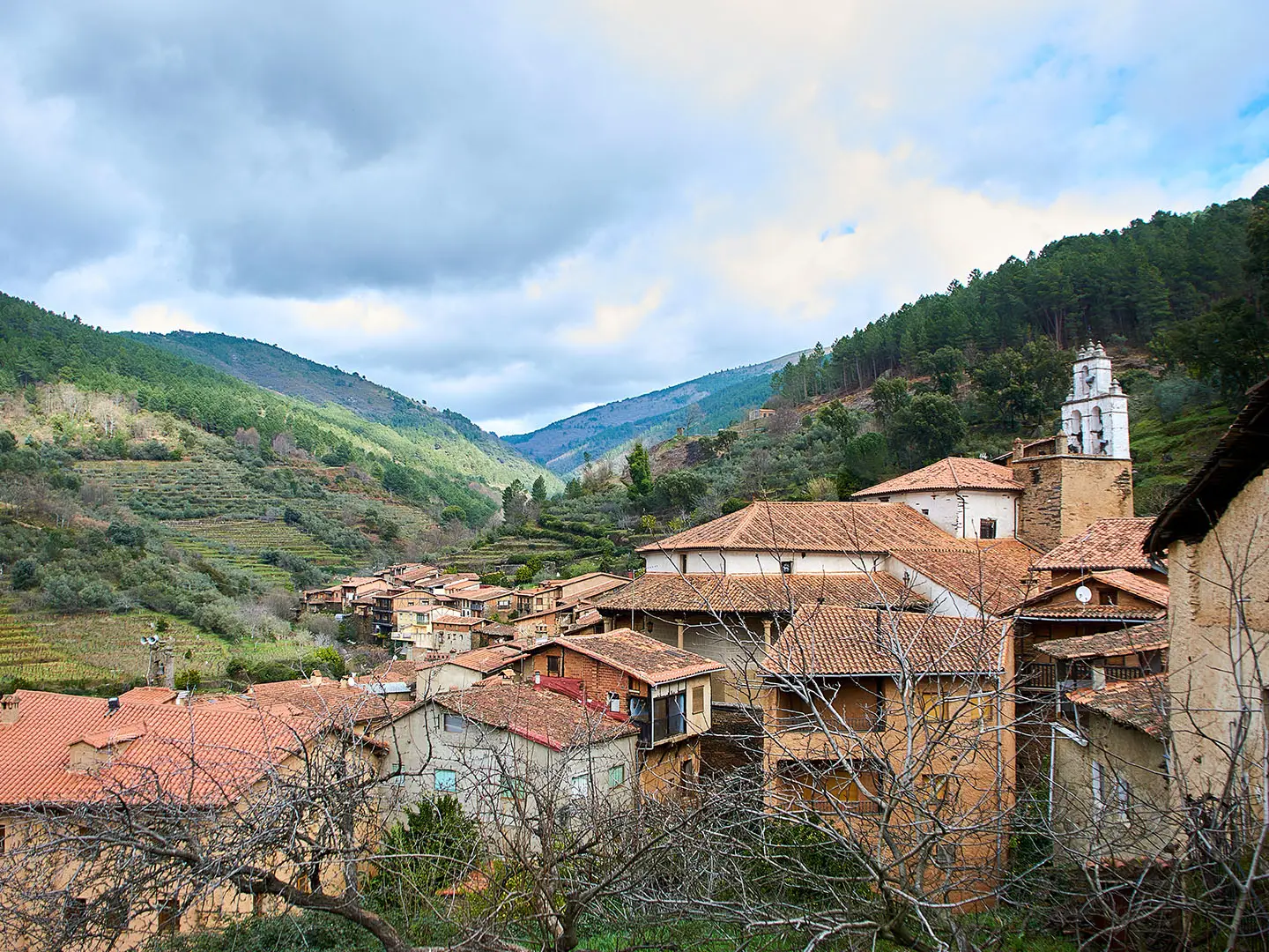
San Martin de Trevejo, originally San Martin de los Vinos, was renamed after a 1230 charter. It was linked to the Order of Saint John of Jerusalem and later served as capital of the Jalama corregimiento until the 19th century. The village is protected as a Bien de Interes Cultural for its preserved architecture. The area is also known for A Fala, a Galician-Portuguese Romance language still spoken in San Martin de Trevejo, Eljas and Valverde del Fresno. The wider Sierra de Gata trail network follows old mule tracks, drove roads and paved mountain ways.
Notable highlights
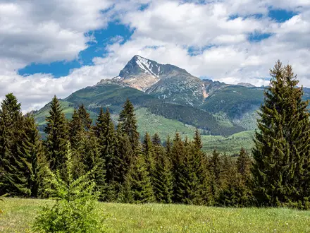
- Pico Jalama (1,492 m): The highest point of the Sierra de Gata and the route’s main objective. Its open summit sits on the Spanish-Portuguese border, with views towards Portugal, the Sierra de Bejar, Pena de Francia, the Borbollon reservoir and the dehesa plains.
- San Martin de Trevejo: The start and finish is a protected historic village of stone-and-timber houses, cobbled streets and a stream running through the settlement. It is one of the three villages associated with A Fala.
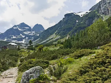
- Centuries-old chestnut groves: The lower climb passes through sweet-chestnut and oak woodland around the Ojesto / Santa Clara side. This gives shade in warmer weather and is especially valued for autumn colour.
- Roman-style calzada and pozo de nieve: The descent uses an old stone-paved track, rough underfoot but historically distinctive. Near the top, the route also passes a pozo de nieve, a stone snow or ice well once used to store packed winter snow.
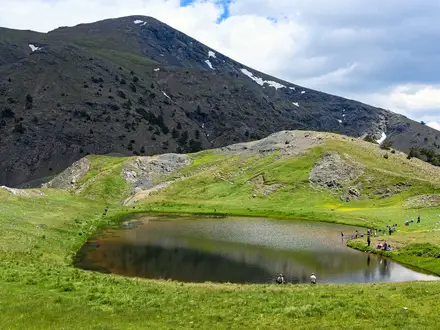
- Mountain fountains and streams: Several maintained fountains and clear streams are noted along the route, reflecting the well-watered valleys of the Sierra de Gata and helping on a long climb.
Challenges to expect
Do not treat this as a moderate village stroll: the route is hard, with roughly 1,400 m of ascent, a sustained climb to Pico Jalama and an awkward stone-paved descent. Navigation is generally supported by Sierra de Gata waymarking, but a map or GPS track is still advisable on the upper ridge and firebreaks. Spring and autumn are best; summers can be hot low down, while the summit may be cold, exposed or snowy in winter.
HikeList Score
Sierra de Gata Circular Route scored 79/100 on HikeList's trail-quality metrics.
See score breakdownHide breakdown
- Ideal length 55
- Balanced challenge 80
- Scenery & wildness 98
- Varied terrain 71
- Accommodation 74
- Food & support 81
- Path quality 98
- Season flexibility 76
Computed from length, challenge, scenery & wildness, terrain variety, accommodation, food & support, path quality and season flexibility.
 Spain
SpainShow more data Show less
- Mountainous
- Forest
- Dirt
- Rocky
- Gravel
- Hotels
- Hostels
- Family Friendly
- Pet Friendly
- Water Sources
- Campsites
- Picnic Areas
Photos from hikers
Taken on the trail by people who've reviewed Sierra de Gata Circular Route.
A long circular mountain day from San Martin de Trevejo. Climb through chestnut and oak woodland towards Puerto de Santa Clara, continue along the ridge to Pico Jalama at 1,492 m, pass the pozo de nieve near the top, then descend by the old Roman-style calzada back to the village.
Reviews
How would you rate Sierra de Gata Circular Route?
Tap a star to start your review — you could be the first.