Senda Real (Green Belt Trail)
How would you rate Senda Real (Green Belt Trail)?
Tap a star to share your experience and help other hikers.
Senda Real (Green Belt Trail): Madrid to the Guadarrama Foothills
HikeList Score
Senda Real (Green Belt Trail) scored 79/100 on HikeList's trail-quality metrics.
See score breakdownHide breakdown
- Ideal length 63
- Balanced challenge 100
- Scenery & wildness 72
- Varied terrain 83
- Accommodation 83
- Food & support 81
- Path quality 80
- Season flexibility 76
Computed from length, challenge, scenery & wildness, terrain variety, accommodation, food & support, path quality and season flexibility.
The Senda Real is the GR-124, a 47.5 km waymarked point-to-point trail in the Community of Madrid, Spain. It runs from Príncipe Pío / Glorieta de San Vicente in central Madrid to Manzanares el Real at the foot of the Sierra de Guadarrama. Plan on 2 days. Difficulty is moderate: navigation is generally straightforward, but the stages are long, exposed and include multiple unbridged stream crossings near the finish. It suits fit walkers wanting a public-transport-friendly thru-hike out of the city.
Route Overview
Most walkers start in Madrid and head north-west, leaving the city by the Manzanares, San Antonio de la Florida and the Puente de los Franceses before following the wall of the Monte de El Pardo. Stage 1 finishes at Tres Cantos; stage 2 continues via Colmenar Viejo, the Ermita de Santa Ana, a medieval bridge over the Manzanares and the Arroyo de la Tejada fords to Manzanares el Real. The route is a point-to-point GR, marked with red-and-white flashes, and can also be walked in reverse. Príncipe Pío, El Goloso, Tres Cantos and Colmenar Viejo have Cercanías rail or bus links, making section hikes easy. For longer Spanish routes, compare the Camino Francés, Camino del Norte and Camino Primitivo.
Royal road to El Pardo and the Sierra
The Senda Real revives the old royal road between Madrid, the El Pardo hunting estate and the Sierra de Guadarrama. In 1405, King Enrique III of Castile ordered a royal hunting lodge in the Monte de El Pardo; in 1475 the Mendoza family built the castle at Manzanares el Real. Over time the route was known by names including Camino del Pardo, and Napoleonic troops used it as the “Route du Pardo”. The modern walking route was homologated as GR-124 in July 1999.
Notable highlights
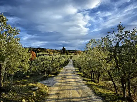
Monte de El Pardo: A protected Mediterranean dehesa of holm oaks north-west of Madrid and a former royal hunting estate. The GR-124 skirts its historic wall, with long open woodland and pasture sections.
San Antonio de la Florida and Puente de los Franceses: Early in the walk, the route passes the Ermita de San Antonio de la Florida, known for Goya’s frescoed dome and tomb. The nearby Puente de los Franceses is a historic railway bridge linked to fighting in the Spanish Civil War.
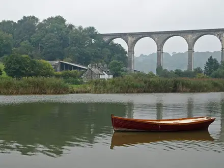
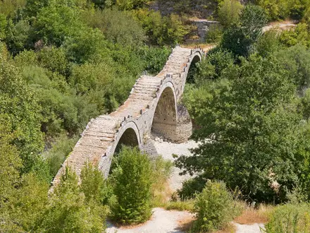
Medieval bridge over the Manzanares: An old stone bridge on the approach to Manzanares el Real. It gives a tangible sense of the historic road the modern GR-124 follows.
Santillana Reservoir: A large reservoir on the Manzanares river near Manzanares el Real. It is glimpsed on the approach to the sierra, with La Pedriza rising beyond.
Castillo de los Mendoza, Manzanares el Real: The trail finishes beside this late-15th-century castle, built from 1475 for the Mendoza family. Its granite mountain backdrop makes it a strong final landmark.
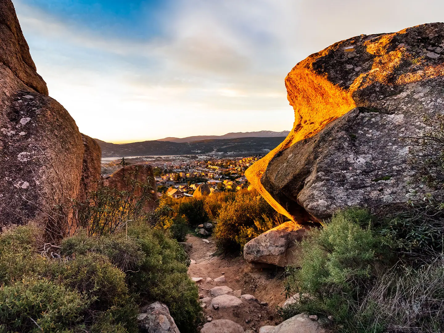
La Pedriza and the Sierra de Guadarrama: The finish sits below La Pedriza, a granite massif of rounded boulders and crags within the Cuenca Alta del Manzanares Regional Park and on the edge of the Sierra de Guadarrama National Park.
Challenges to expect
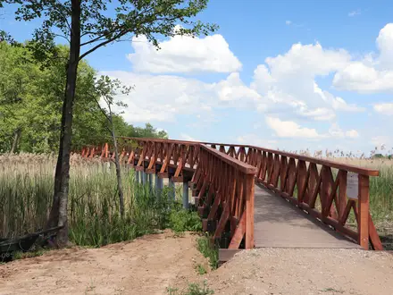
The Senda Real has no major mountain climb, but it gains about 834 m overall and the two stages are long. Much of the dehesa is exposed, with little shade and few reliable water sources, so carry water and sun protection. Summer heat around Madrid can be punishing. The Arroyo de la Tejada section has roughly eleven unbridged fords, and wet feet are likely. Waymarking can be sparse on the urban exit.
HikeList Score
Senda Real (Green Belt Trail) scored 79/100 on HikeList's trail-quality metrics.
See score breakdownHide breakdown
- Ideal length 63
- Balanced challenge 100
- Scenery & wildness 72
- Varied terrain 83
- Accommodation 83
- Food & support 81
- Path quality 80
- Season flexibility 76
Computed from length, challenge, scenery & wildness, terrain variety, accommodation, food & support, path quality and season flexibility.
 Spain
SpainShow more data Show less
- Forest
- Urban
- Mountainous
- Paved
- Dirt
- Gravel
- Hotels
- Hostels
- Campsites
- Family Friendly
- Pet Friendly
- Restrooms
- Water Sources
- Picnic Areas
Photos from hikers
Taken on the trail by people who've reviewed Senda Real (Green Belt Trail).
Start at Príncipe Pío / Glorieta de San Vicente and follow the GR-124 north-west out of Madrid by San Antonio de la Florida, the Puente de los Franceses and the wall of the Monte de El Pardo. The stage continues past El Goloso to Tres Cantos, where there are public transport links and accommodation.
Continue north via Colmenar Viejo and the Ermita de Santa Ana, then cross pastoral Guadarrama foothills towards the Manzanares. Expect several unbridged fords on the Arroyo de la Tejada section before the final approach to Manzanares el Real, the Castillo de los Mendoza and views of La Pedriza.
Reviews
How would you rate Senda Real (Green Belt Trail)?
Tap a star to start your review — you could be the first.