Schynige Platte to First Trail
How would you rate Schynige Platte to First Trail?
Tap a star to share your experience and help other hikers.
Schynige Platte to First Trail: Six lakes hike above Grindelwald
HikeList Score
Schynige Platte to First Trail scored 79/100 on HikeList's trail-quality metrics.
See score breakdownHide breakdown
- Ideal length 55
- Balanced challenge 80
- Scenery & wildness 98
- Varied terrain 83
- Accommodation 66
- Food & support 81
- Path quality 98
- Season flexibility 76
Computed from length, challenge, scenery & wildness, terrain variety, accommodation, food & support, path quality and season flexibility.
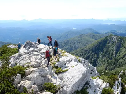
The Schynige Platte to First Trail is a hard 16 km one-day mountain hike in the Jungfrau Region, Bernese Oberland, Switzerland. It traverses high open terrain above Lake Brienz from Schynige Platte to First, passing Sägistalsee, Männdlenen, Faulhorn and Bachalpsee. The walking is not technical — a T2 Swiss mountain route on marked rocky paths — but the length, roughly 900 m of ascent and 2,681 m high point make it a strenuous day for fit hikers.
Route Overview
This is a point-to-point ridge traverse, most often walked Schynige Platte → First so the Eiger–Mönch–Jungfrau panorama stays ahead and the finish is mostly downhill. Start at Schynige Platte, reached by the Schynige Platte Bahn cog railway from Wilderswil near Interlaken. The route runs via Oberberghorn / Loucherhorn, Sägistalsee, the Männdlenen (Weber-Hütte) mountain hut, Faulhorn, Bachalpsee and First. From First, descend to Grindelwald by the Firstbahn gondola. The last gondola down is typically around 17:30 in summer, so take an early train up. For longer Swiss mountain walking, compare the Alpine Pass Route or the Aletsch Glacier Panorama Trail.
Faulhornweg history and the Schynige Platte railway
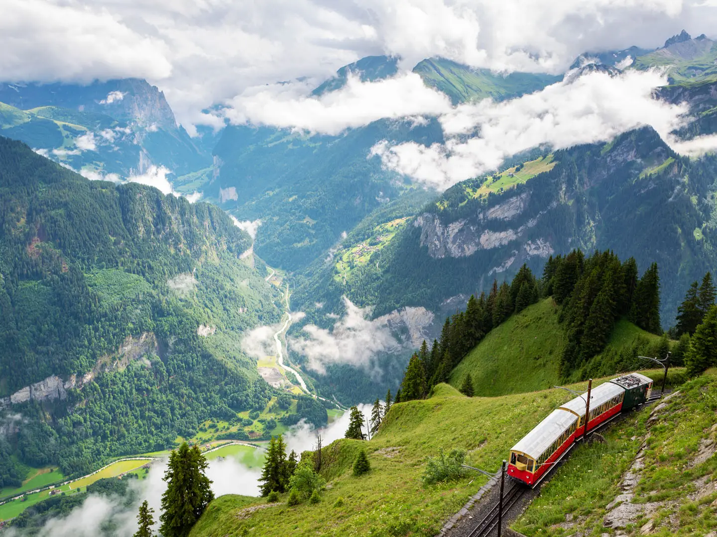
The route includes the historic Faulhornweg section to the 2,681 m Faulhorn, a summit used in the early era of Alpine tourism and for scientific and survey observations because of its all-round Bernese Oberland panorama. Berghotel Faulhorn was built on the summit in 1830 and remains a landmark of the walk. Access to the western end is also historic: the Schynige Platte cog railway opened in 1893 and still runs with heritage rolling stock in the summer season.
Notable highlights
- Bachalpsee (2,265 m): A glassy alpine tarn near the descent to First, known for reflections of the Schreckhorn and Wetterhorn in calm weather.
- Faulhorn summit (2,681 m): The highest point of the hike and a 360° viewpoint over the Bernese Oberland; on clear days several major Swiss lakes are visible.
- Berghotel Faulhorn: A summit hotel built in 1830 and one of the oldest mountain hotels in the Alps, useful for meals or an overnight split.
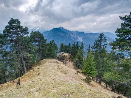
- Eiger–Mönch–Jungfrau panorama: Much of the traverse faces this famous north-side wall across the Grindelwald valley, with Lake Brienz on the opposite side.
- Schynige Platte alpine garden: At the start, the Alpengarten Schynige Platte displays native Alpine plants and is reached by the historic cog railway.
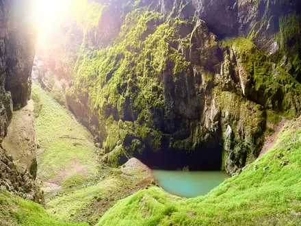
- Sägistalsee: A quieter lake in the karst landscape on the first half of the route, before the climb towards Männdlenen and Faulhorn.
Challenges to expect
Expect a long, exposed high-alpine day rather than a technical climb. The path is well marked but rocky, stony and almost entirely above the treeline, with short steep sections and possible snow patches in June. Fitness and timing are the main issues: allow about 6 hours of walking, start early for transport connections, and do not miss the First gondola down. Similar high-level terrain appears on the Davos to Arosa Panorama Trail.
HikeList Score
Schynige Platte to First Trail scored 79/100 on HikeList's trail-quality metrics.
See score breakdownHide breakdown
- Ideal length 55
- Balanced challenge 80
- Scenery & wildness 98
- Varied terrain 83
- Accommodation 66
- Food & support 81
- Path quality 98
- Season flexibility 76
Computed from length, challenge, scenery & wildness, terrain variety, accommodation, food & support, path quality and season flexibility.
 Switzerland
Show more data Show less
- Mountainous
- Alpine
- Meadow
- Rocky
- Gravel
- Dirt
- Huts
- Hotels
- Family Friendly
- Pet Friendly
- Restrooms
- Water Sources
- Shelters
Photos from hikers
Taken on the trail by people who've reviewed Schynige Platte to First Trail.
Reviews
How would you rate Schynige Platte to First Trail?
Tap a star to start your review — you could be the first.