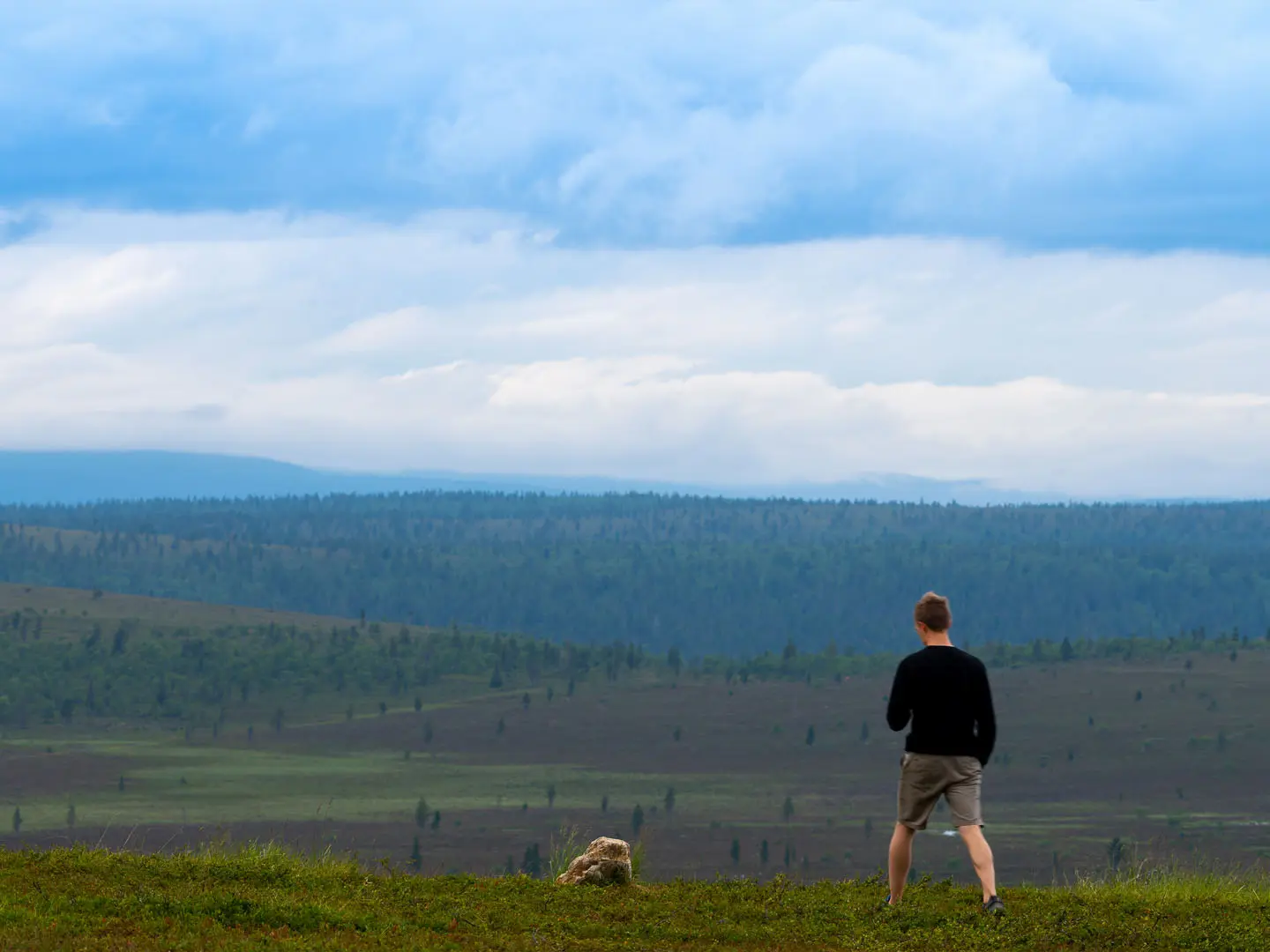
Saariselkä Wilderness Trail
How would you rate Saariselkä Wilderness Trail?
Tap a star to share your experience and help other hikers.
Saariselkä Wilderness Trail: Kiilopää to Saariselkä in Urho Kekkonen National Park
HikeList Score
Saariselkä Wilderness Trail scored 76/100 on HikeList's trail-quality metrics.
See score breakdownHide breakdown
- Ideal length 66
- Balanced challenge 100
- Scenery & wildness 71
- Varied terrain 76
- Accommodation 67
- Food & support 65
- Path quality 98
- Season flexibility 76
Computed from length, challenge, scenery & wildness, terrain variety, accommodation, food & support, path quality and season flexibility.
The Saariselkä Wilderness Trail is a 35 km, 2–3 day moderate traverse in Urho Kekkonen National Park, Finnish Lapland, linking Kiilopää, Rautulampi, Luulampi and Saariselkä. It suits hikers who want marked fell paths, wilderness huts and open subarctic terrain without technical climbing. The name is descriptive rather than an official single trail: this route uses the park’s marked “Out into the wilderness” network. For wider trip planning in Finland, compare the longer Hetta-Pallas Trail.
Route Overview
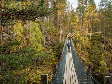
The usual point-to-point line starts at Kiilopää Fell Centre on the southern edge of Urho Kekkonen National Park and finishes at Saariselkä village, though it can be walked either way. Both Kiilopää and Saariselkä have official starting gates and car parks. The route’s core is the Rautulampi trail, described by Metsähallitus as the park’s classic trail, with Rautulampi lake and day hut around the scenic centre of the walk. It then links towards Luulampi wilderness hut before connecting to Saariselkä. Expect open fell heath, pine and mountain-birch forest, mires, stream valleys, rocky sections, duckboards and bridges. For a shorter southern Finland option, see the Nuuksio National Park Trail.
Sámi reindeer routes, Ruijanpolku and Lapland’s gold-rush edge
Urho Kekkonen National Park was established in 1983 and named after the long-serving Finnish president. These fells are part of the traditional homeland of the Sámi, who have herded reindeer, fished and hunted here for centuries. Nearby Laanila was linked to the Lapland gold rush from the late 19th century, while the historic Ruijanpolku, or “Norway path”, crossed the fells as a trading route between the Gulf of Bothnia and the Arctic Ocean coast of Finnmark.
Notable highlights
- Kiilopää fell (546 m): The route’s high point and a well-known Saariselkä fell, with a short graded summit path from the Fell Centre. It gives a useful first view of the open fell country you will cross.
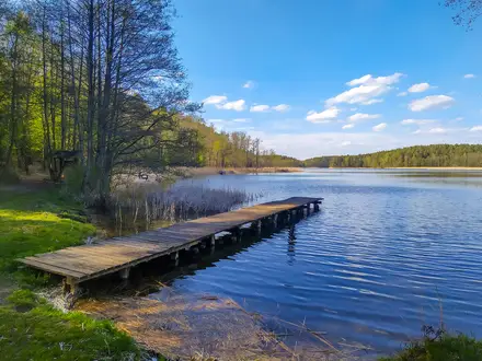
- Rautulampi: The lake and day hut that give the park’s classic Rautulampi trail its name. The open fell crossing here is the scenic heart of the route, with broad tundra views and good chances of seeing reindeer.
- Luulampi wilderness hut: A classic open wilderness hut beside a small lake, with a fireplace and toilet, plus a summer café/restaurant nearby. It is a natural rest or overnight stop on the Kiilopää–Rautulampi–Saariselkä line.
- Autumn “ruska” colours: In early September the dwarf birch, blueberry and bearberry of the fell tundra turn red, orange and gold. This is Lapland’s signature hiking season.
- Midnight sun and northern lights: Around midsummer, the Arctic location gives round-the-clock walking light. From late August, darker nights return and the aurora can appear over the open fells.
- Sámi reindeer-herding landscape: The route crosses ground used by Sámi reindeer herders. Reindeer on the trail are semi-domesticated animals belonging to local herders, not wild stock.
Challenges to expect
This is a moderate hike, not a technical one, but the wilderness setting matters. Paths are mostly natural-state dirt, gravel and rocky fell ground, with duckboards across wet mires. Weather can change fast above the tree line, and snow can fall early. Marked sections are signposted, but beyond the marked network Urho Kekkonen National Park is true wilderness with no trail markings, so carry a map, compass and the skills to use them.
HikeList Score
Saariselkä Wilderness Trail scored 76/100 on HikeList's trail-quality metrics.
See score breakdownHide breakdown
- Ideal length 66
- Balanced challenge 100
- Scenery & wildness 71
- Varied terrain 76
- Accommodation 67
- Food & support 65
- Path quality 98
- Season flexibility 76
Computed from length, challenge, scenery & wildness, terrain variety, accommodation, food & support, path quality and season flexibility.
 Finland
Show more data Show less
- Arctic
- Fell
- Forest
- Dirt
- Rocky
- Huts
- Campsites
- Wild Camping Spots
- Family Friendly
- Pet Friendly
- Water Sources
- Campsites
- Shelters
Photos from hikers
Taken on the trail by people who've reviewed Saariselkä Wilderness Trail.
The journey begins at Kiilopää Visitor Centre, where hikers ascend the slopes of Kiilopää Fell for panoramic views of the surrounding wilderness. From the summit, the route gently descends through subarctic forest and open heath, following well-marked dirt and rocky paths. Along the way, hikers may spot reindeer and pass small streams before reaching the tranquil Rautulampi Lake. Here, a wilderness hut and designated campsite offer a comfortable resting spot for the first night after covering a mix of boardwalks and forest trail.
Departing from Rautulampi, the trail continues through varied terrain, including sections of wetland traversed by boardwalks and stretches of open fells. Hikers will pass the Luulampi open wilderness hut and move northward through scenic valleys and old Sámi herding areas. The final kilometers bring the trail through forested hills before arriving at Saariselkä village, the endpoint of the route. The journey on Day 2 offers more opportunities for wildlife sightings and showcases the region's unique arctic landscapes.
Reviews
How would you rate Saariselkä Wilderness Trail?
Tap a star to start your review — you could be the first.