Roháče Ridge Trail
How would you rate Roháče Ridge Trail?
Tap a star to share your experience and help other hikers.
Roháče Ridge Trail: A Hard Western Tatras Ridge Traverse
HikeList Score
Roháče Ridge Trail scored 76/100 on HikeList's trail-quality metrics.
See score breakdownHide breakdown
- Ideal length 55
- Balanced challenge 74
- Scenery & wildness 98
- Varied terrain 64
- Accommodation 66
- Food & support 81
- Path quality 98
- Season flexibility 76
Computed from length, challenge, scenery & wildness, terrain variety, accommodation, food & support, path quality and season flexibility.
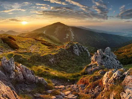
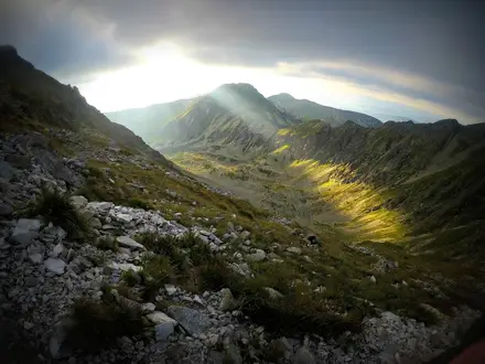
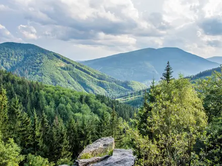
The Roháče Ridge Trail is a hard, chain-assisted alpine traverse in the Western Tatras of northern Slovakia, within Tatra National Park (TANAP). The listed ridge traverse is about 14.5 km and is normally done in 1 long day, with the ridge itself taking about 8 hours and valley access making it closer to a 10-hour outing. It suits experienced mountain hikers who are confident on exposed rock, scree, narrow paths and fixed chains at around 2,000 m.
Route Overview
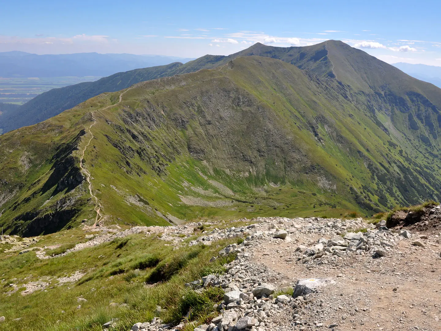
The classic traverse follows the red-marked main crest of the Roháče, usually linking Volovec, Ostrý Roháč, Plačlivé, Tri kopy, Hrubá kopa, Baníkov, Salatín and down towards Brestová. It is best treated as a point-to-point ridge route: many walkers approach from Zuberec/Roháče on the Orava side, using Adamcuľa or Spálená, or from Žiarska dolina on the Liptov side. Access is by car or seasonal bus from the Liptovský Mikuláš / Dolný Kubín area. If Baníkov is your main objective rather than the full crest, compare the Baníkov Summit Trail.
Roháče and Tatra National Park
Roháče lies inside Tatra National Park (TANAP), established in 1949 as the first national park in the former Czechoslovakia. The name “Roháče” means “the horned ones”, referring to the sharp twin profile of Ostrý Roháč and Plačlivé. The marked ridge route is a long-standing Slovak mountaineering classic and is often cited as one of the few continuously waymarked alpine ridges in Europe.
Notable highlights
- Baníkov (2,178 m): The highest point on the main Western Tatras ridge and the high point of this traverse. It gives wide views across the Western and High Tatras in clear weather.
- Tri kopy (“Three Heaps”): A rugged trio of rocky summits and one of the most exposed sections of the crest. Fixed chains protect the hardest steps, but this is still serious scrambling terrain.
- Volovec (2,063 m): A broad summit on the Slovak–Polish border and a natural western start or junction for the ridge. It is a useful orientation point before the crest becomes sharper.
- Plačlivé and Ostrý Roháč: These jagged rock spires form the emblematic “horned” Roháče skyline. The terrain here is steep, narrow and very exposed in places.
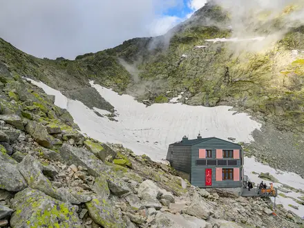
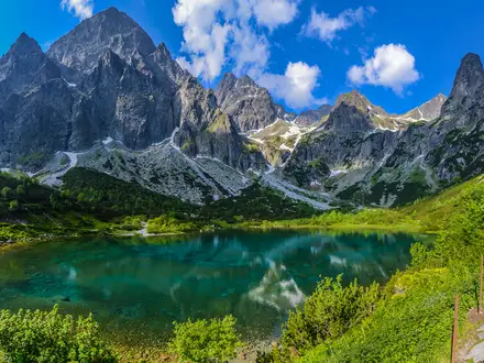
- Roháčske plesá and Roháčsky waterfall: Glacial tarns and the Roháčsky vodopád lie below the ridge on the valley approach. The waterfall is listed at about 23 m and around 1,340 m altitude.
Challenges to expect
Expect a long, exposed alpine day with rocky scrambling, scree, narrow crest paths and steep chain-secured steps. There are no huts on the ridge itself, so carry food, water and bad-weather layers. The route should only be attempted in settled summer or autumn conditions; snow, storms or wet rock make it much more serious. For another exposed Slovak Tatra objective, see the Kriváň Summit Trail; for a longer ridge trek, compare the Low Tatras Ridge Trail.
HikeList Score
Roháče Ridge Trail scored 76/100 on HikeList's trail-quality metrics.
See score breakdownHide breakdown
- Ideal length 55
- Balanced challenge 74
- Scenery & wildness 98
- Varied terrain 64
- Accommodation 66
- Food & support 81
- Path quality 98
- Season flexibility 76
Computed from length, challenge, scenery & wildness, terrain variety, accommodation, food & support, path quality and season flexibility.
Show more data Show less
- Mountainous
- Alpine
- Rocky
- Scree
- Huts
- Hotels
- Pet Friendly
- Water Sources
- Campsites
- Shelters
In these collections
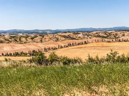
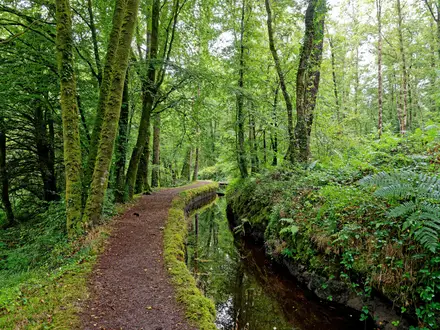
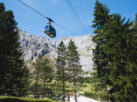
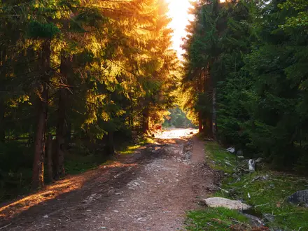
Photos from hikers
Taken on the trail by people who've reviewed Roháče Ridge Trail.
Reviews
How would you rate Roháče Ridge Trail?
Tap a star to start your review — you could be the first.