Ötztal Trek
How would you rate Ötztal Trek?
Tap a star to share your experience and help other hikers.
Ötztal Trek: A High-Alpine Hut-to-Hut Circuit in Tyrol
HikeList Score
Ötztal Trek scored 70/100 on HikeList's trail-quality metrics.
See score breakdownHide breakdown
- Ideal length 72
- Balanced challenge 44
- Scenery & wildness 85
- Varied terrain 83
- Accommodation 49
- Food & support 72
- Path quality 98
- Season flexibility 63
Computed from length, challenge, scenery & wildness, terrain variety, accommodation, food & support, path quality and season flexibility.
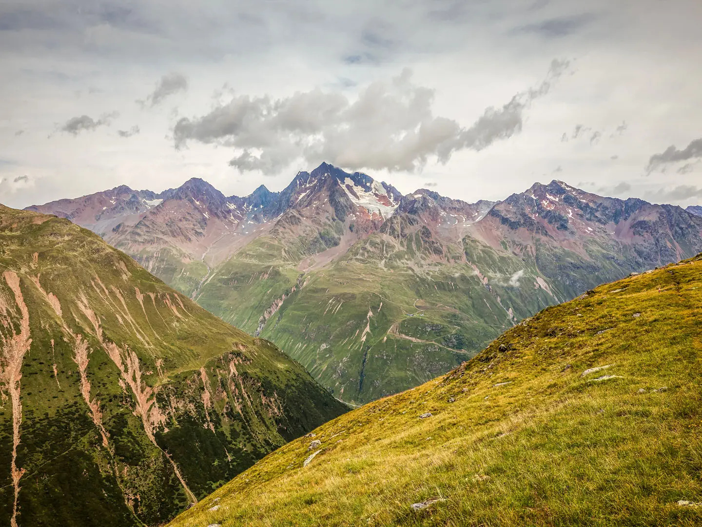
The Ötztal Trek is a 246 km, 22-stage high-alpine hut-to-hut loop around the Ötztal valley in Tyrol, Austria. Starting and finishing at Ötztal-Bahnhof, it crosses rocky passes, ridges, scree and glacier terrain, with about 18,900 m of ascent and a high point around 3,482 m. This is an expert trek: most stages are difficult mountain trails, some glacier sections have no waymarks, and walkers need sure-footedness, a head for heights and alpine experience.
Route Overview
The route forms a giant circuit from Ötztal-Bahnhof, first running eastwards above the valley over high passes, ridges and peaks towards Obergurgl and Vent, then returning north on the western Geigenkamm. It is built from 6 partial routes split into 22 stages, with 15 variants, and is designed to be walked in sections as well as as a full three-week circuit. Key huts include Dortmunder Hütte, Schweinfurter Hütte, Amberger Hütte, Hochstubaihütte, Ramolhaus, Martin-Busch-Hütte, Similaunhütte, Braunschweiger Hütte and Rüsselsheimer Hütte. If comparing Austrian long-distance routes, also see the Eagle Walk, Carnic High Trail and Dachstein Glacier Circuit.
History of the Ötztal Trek
The Ötztal Alps have been a mountaineering area since the 19th century, and the trek links long-established Alpine Club huts and high paths into one signed circuit. Its best-known historic section is the Mainzer Höhenweg, opened by the German Alpine Club’s Mainz section on 24 August 1974. The valley also has major archaeological significance: Ötzi the Iceman, a naturally mummified man from around 3300 BC, was found near the Tisenjoch on the Austrian-Italian border in 1991.
Notable highlights
Full Ötztal circumnavigation: A continuous 246 km, 22-stage loop from Ötztal-Bahnhof to Vent and Obergurgl, returning along the Geigenkamm. Its scale is the main draw, with the option to walk self-contained sections.
Glacier terrain around Vent: The eastern arm enters the glaciated heart of the Ötztal Alps near the Wildspitze, Austria’s second-highest peak. Some glacier crossings have no waymarks, which is central to the trek’s expert grade.
Mainzer Höhenweg: This exposed, rope-secured high-level traverse on the Geigenkamm links the Rüsselsheimer and Braunschweiger huts. It is one of the most celebrated and airy stages of the western return arm.
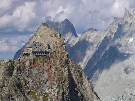
Alpine Club huts: The circuit uses classic DAV/ÖAV huts such as the Braunschweiger, Hildesheimer, Martin-Busch and Hochstubaihütte. Several sit above 2,700–3,000 m, giving genuine high-mountain overnights.
Similaun and Ötzi country: The southern stages pass near the Italian border and the high glaciers around the Tisenjoch, where Ötzi the Iceman was discovered in 1991. Similaun is a 3,606 m optional summit in this area.
Vent and Obergurgl: These high mountaineering villages act as practical rest, access and resupply points. Obergurgl, at about 1,930 m, is one of Austria’s highest parish villages.
Challenges to expect
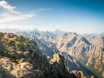
Expect sustained high-alpine terrain: rocky paths, scree, exposed ridges, altitude and glacier crossings where waymarks may be absent. Most stages are graded black under Tyrol’s system, with the remainder red, so this is not a first hut trek. Huts must be reserved, and the realistic season is July to September. For a less glacier-focused Austrian comparison, look at the Hohe Tauern Panorama Trail.
HikeList Score
Ötztal Trek scored 70/100 on HikeList's trail-quality metrics.
See score breakdownHide breakdown
- Ideal length 72
- Balanced challenge 44
- Scenery & wildness 85
- Varied terrain 83
- Accommodation 49
- Food & support 72
- Path quality 98
- Season flexibility 63
Computed from length, challenge, scenery & wildness, terrain variety, accommodation, food & support, path quality and season flexibility.
 Austria
Show more data Show less
- Mountainous
- Glacier
- Rocky
- Rocky
- Dirt
- Scree
- Huts
- Pet Friendly
- Restrooms
- Water Sources
- Campsites
- Shelters
In these collections
Photos from hikers
Taken on the trail by people who've reviewed Ötztal Trek.
Reviews
How would you rate Ötztal Trek?
Tap a star to start your review — you could be the first.