Ninglinspo Trail
How would you rate Ninglinspo Trail?
Tap a star to share your experience and help other hikers.
Ninglinspo Trail: Belgium’s Rocky Torrent Walk
HikeList Score
Ninglinspo Trail scored 79/100 on HikeList's trail-quality metrics.
See score breakdownHide breakdown
- Ideal length 55
- Balanced challenge 100
- Scenery & wildness 98
- Varied terrain 76
- Accommodation 57
- Food & support 68
- Path quality 98
- Season flexibility 89
Computed from length, challenge, scenery & wildness, terrain variety, accommodation, food & support, path quality and season flexibility.
The Ninglinspo Trail is a 6 km moderate loop in the Belgian Ardennes, Wallonia, starting at the Sedoz car park near Aywaille. It follows the Ninglinspo, Belgium’s only true mountain torrent, through a steep wooded gorge of rock pools, bridges and short cable-aided scrambles. This is a half-day hike rather than a long-distance route, but it is not a flat family stroll: expect slippery rocks, roots and mud. For more options, browse other Belgian hikes, including the GR 126 Semois and Meuse Rivers.
Route Overview
The standard Ninglinspo walk is a circular route from Sedoz car park at Sedoz 12B, 4920 Aywaille, in the hamlet of Sedoz/Nonceveux on the N633 between Remouchamps/Aywaille and Stoumont. Follow local walk no. 21, marked with blue rectangles, upstream beside the Ninglinspo through the gorge, passing the named rock pools and small cascades. Near the upper part of the loop, the path leaves the river for the Drouet viewpoint, then returns through higher forest tracks to the car park. A shorter yellow-marked variant exists, while the longer Ninglinspo–Chefna circuit is a different extension, not the standard 6 km route. If you want a longer Walloon itinerary, compare the Abbey Trail of Wallonia.
Ninglinspo History and Name
The Ninglinspo’s importance is geological and cultural rather than military: its protected gorge is classed as an outstanding heritage area of Wallonia. The river’s modern name is linked to a documented French cartographers’ error, when the stream’s name was confused with the place where it meets the Amblève. Its older recorded name was Doulneux — Dulnosus in Latin — appearing in a charter of King Sigebert III dated 647 AD, probably connected with alder woodland.
Notable highlights
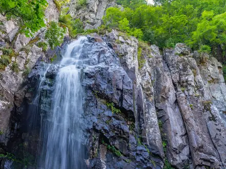
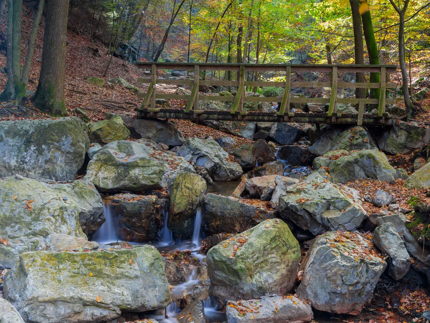
- The Ninglinspo torrent: Belgium’s only true mountain torrent is the spine of the walk, dropping through a rocky wooded ravine with rapids, mini-waterfalls and clear pools.
- Rock pools or “baths” (Bain de Diane, Bain de Vénus, Bain des Naïades): These natural basins worn into the bedrock by the torrent are the route’s best-known photo stops, each with its own poetic name.
- Drouet viewpoint: Reached where the path leaves the river, this overlook gives a view back over the wooded Ninglinspo valley before the loop turns for home.
- Wooden footbridges and cable-aided scrambles: The route repeatedly crosses the torrent by rustic bridges and stepping stones, with fixed cables or chains on the steepest rocky sections.
- Outstanding heritage valley of Wallonia: The Ninglinspo gorge is officially recognised as a protected heritage landscape of mossy rocks, ferns and old woodland.
Challenges to expect
The distance is short, but the terrain is awkward: narrow riverside paths, wet rock, roots, mud, stepping stones and short scrambly sections with fixed cables or chains. The shaded gorge stays damp and can be slippery after rain. It is family- and dog-friendly with care, but not suitable for buggies or wheelchairs. Sunny weekends and summer holidays can be very busy.
HikeList Score
Ninglinspo Trail scored 79/100 on HikeList's trail-quality metrics.
See score breakdownHide breakdown
- Ideal length 55
- Balanced challenge 100
- Scenery & wildness 98
- Varied terrain 76
- Accommodation 57
- Food & support 68
- Path quality 98
- Season flexibility 89
Computed from length, challenge, scenery & wildness, terrain variety, accommodation, food & support, path quality and season flexibility.
 Belgium
Show more data Show less
- Forest
- River Valley
- Mountainous
- Rocky
- Dirt
- Hotels
- Family Friendly
- Pet Friendly
- Restrooms
- Picnic Areas
Photos from hikers
Taken on the trail by people who've reviewed Ninglinspo Trail.
Reviews
How would you rate Ninglinspo Trail?
Tap a star to start your review — you could be the first.