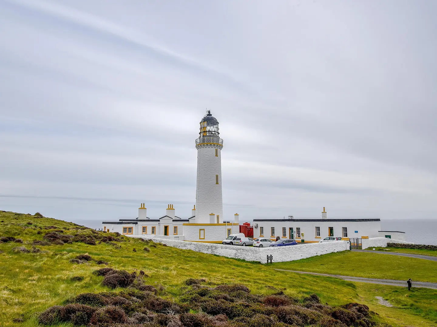
Mull of Galloway Trail
How would you rate Mull of Galloway Trail?
Tap a star to share your experience and help other hikers.
Mull of Galloway Trail: South-West Scotland Coastal Walk
HikeList Score
Mull of Galloway Trail scored 83/100 on HikeList's trail-quality metrics.
See score breakdownHide breakdown
- Ideal length 70
- Balanced challenge 100
- Scenery & wildness 66
- Varied terrain 100
- Accommodation 83
- Food & support 81
- Path quality 98
- Season flexibility 89
Computed from length, challenge, scenery & wildness, terrain variety, accommodation, food & support, path quality and season flexibility.
The Mull of Galloway Trail is a 59 km / 37 mi waymarked point-to-point walk in south-west Scotland, from the Mull of Galloway lighthouse to Glenapp near Ballantrae. Usually walked in 3 days, it is a moderate, low-level coastal route suited to hikers who want sea cliffs, beaches, small villages and straightforward navigation without technical terrain. Expect mostly coastal and field paths, beaches, farm tracks and minor roads, with a few steeper sections south of Drummore and above Loch Ryan.
Route Overview
Most walkers go south to north, starting at the Mull of Galloway headland and lighthouse, Scotland’s most southerly point. The route follows the east side of the Rhins of Galloway above Luce Bay through Drummore, the Logan / Ardwell area and Sandhead, then heads inland towards Stranraer at the head of Loch Ryan. The northern section, formerly the Loch Ryan Coastal Path, continues past Cairnryan and over higher ground to Glenapp, where it links with the Ayrshire Coastal Path. Stranraer has the fullest accommodation and services; Glenapp has no facilities but is served by buses. For other Scottish coastal options, compare the Arran Coastal Way and Annandale Way.
History and designation
The Mull of Galloway Trail was developed by the Rotary Club of Stranraer and opened in 2012. It is maintained by volunteers and is designated by NatureScot as one of Scotland’s Great Trails. The northern stretch was previously known as the Loch Ryan Coastal Path, and the full route also forms part of the International Appalachian Trail. Stranraer Rotary runs an annual marathon on the southern section, along with a shorter race from Sandhead.
Notable highlights
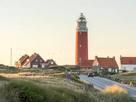
- Mull of Galloway Lighthouse: Scotland’s most southerly point, with an 1830 lighthouse designed and built by Robert Stevenson. The tower can be climbed for views across the Irish Sea.
- Gallie Craig and the RSPB cliffs: Greywacke sea cliffs, a turf-roofed coffee house and an RSPB reserve where fulmars, kittiwakes, guillemots, razorbills and occasional puffins can be seen in season.
- Drummore: Scotland’s most southerly village, a small former fishing port on Luce Bay with a harbour, shops and a pub.
- Logan Botanic Garden: A short detour near Ardwell / Port Logan, known for exotic planting made possible by the mild Gulf-Stream climate.
- Luce Bay beaches: Sandy stretches around Sandhead and New England Bay give easy walking and wide coastal views.
- Loch Ryan: The final section follows this sea loch, noted for wintering wildfowl including scaup, with higher ground above Cairnryan.
Challenges to expect
This is not a technical trail, but do not underestimate the mixed surfaces. There are steep gradients south of Drummore between the Mull and Maryport, plus a steep climb to higher ground above Loch Ryan north of Cairnryan. Some inland field paths can be rough or overgrown. Services are best in Stranraer; Glenapp has no facilities, so plan food, water and onward travel.
HikeList Score
Mull of Galloway Trail scored 83/100 on HikeList's trail-quality metrics.
See score breakdownHide breakdown
- Ideal length 70
- Balanced challenge 100
- Scenery & wildness 66
- Varied terrain 100
- Accommodation 83
- Food & support 81
- Path quality 98
- Season flexibility 89
Computed from length, challenge, scenery & wildness, terrain variety, accommodation, food & support, path quality and season flexibility.
 United Kingdom
 Scotland
Show more data Show less
- Coastal
- Clifftop
- Beach
- Farmland
- Inland
- Grass
- Earth
- Sand
- Minor Roads
- Farm Tracks
- B&Bs
- Inns/Hotels
- Self Catering
- Family Friendly
- Dog Friendly On Leash
- Restrooms
- Picnic Areas
- Public Transport Access Points
In these collections
Photos from hikers
Taken on the trail by people who've reviewed Mull of Galloway Trail.
Start at the Mull of Galloway lighthouse and follow the east coast of the Rhins of Galloway above Luce Bay, passing Drummore and the Logan / Ardwell area before reaching Sandhead, a common first overnight stop.
Continue from Sandhead, leaving the Luce Bay coastline as the route turns inland towards Stranraer at the head of Loch Ryan. Stranraer has the widest range of accommodation and services on the trail.
Follow the former Loch Ryan Coastal Path section past Cairnryan, then climb over higher ground north of Loch Ryan to finish at Glenapp, near Ballantrae, where the route meets the Ayrshire Coastal Path.
Reviews
How would you rate Mull of Galloway Trail?
Tap a star to start your review — you could be the first.