Mount Parnassus Traverse
How would you rate Mount Parnassus Traverse?
Tap a star to share your experience and help other hikers.
Mount Parnassus Traverse: A High Summit Day Above Delphi
HikeList Score
Mount Parnassus Traverse scored 78/100 on HikeList's trail-quality metrics.
See score breakdownHide breakdown
- Ideal length 55
- Balanced challenge 74
- Scenery & wildness 98
- Varied terrain 83
- Accommodation 66
- Food & support 81
- Path quality 98
- Season flexibility 89
Computed from length, challenge, scenery & wildness, terrain variety, accommodation, food & support, path quality and season flexibility.
The Mount Parnassus Traverse is a hard 16.5 km, one-day high-mountain hike across Parnassos in central Greece, topping out on Liakoura at 2,457 m. It suits experienced hikers who are comfortable with long ascent, rough limestone, scree, exposed ridge walking and route-finding above the treeline. Lower approaches can start from village trailheads such as Tithorea, Polydrosos, Eptalofos, Arachova or Delphi, while ski-centre variants begin around Kellaria.
Route Overview
The listed route is a point-to-point traverse rather than the longer ski-centre summits loop. Common access points are Kellaria at Parnassos Ski Centre on the high plateau, Tithorea by the Velitsa gorge, and the villages of Polydrosos, Eptalofos, Arachova and Delphi. The high line links Gerontovrachos, Tsarkos and the summit ridge to Liakoura, with lower approaches through fir forest before the exposed limestone. Waymarking is real but not uniform: the O22 National Trail crosses Polydroso–Kellaria–Gerontovrachos–Tsarkos–Hani Zemenou, the E4 European Long-Distance Trail (Greek Section) passes via Eptalofos and Delphi, and a red-square route links Tithorea, Deffner refuge, Arachova, Korykeion Andron and Delphi. For a lower Delphi-side walk, see the Delphi to Chrisso Trail.
Myth, Delphi and Parnassos National Park
Mount Parnassus is one of Greece’s great mythic mountains: sacred to Apollo and the Muses, and closely tied to Delphi, the sanctuary of Apollo and seat of the ancient oracle. The Corycian Cave, or Korykeion Andron, was used in antiquity for cult worship of Pan and the Nymphs. The mountain also has modern conservation importance: Parnassos National Park was established in 1938 as Greece’s first national park.
Notable highlights
Liakoura summit (2,457 m): The highest point of Parnassus and the goal of the traverse. In clear weather it gives a 360-degree panorama towards the Gulf of Corinth and across central Greece.
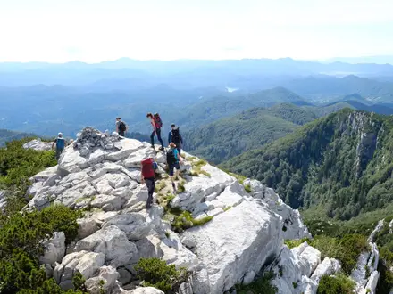
Ridge over Gerontovrachos and Tsarkos: The exposed high-level link between the secondary summits, crossing bare rock and scree. There is no shade on this section, so conditions feel more alpine than the lower forested slopes.
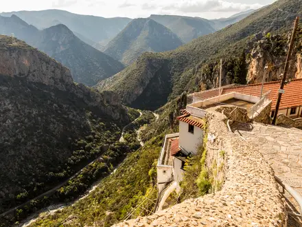
Velitsa (Vilitsa) gorge: A dramatic ravine on the Tithorea side of the mountain. Northern approach variants skirt the gorge on a steep wooded line beneath the cliffs.
Corycian Cave (Korykeion Andron): An ancient cave sanctuary of Pan and the Nymphs on the southern slopes. It is one of the key mythological landmarks on Delphi-side routes.
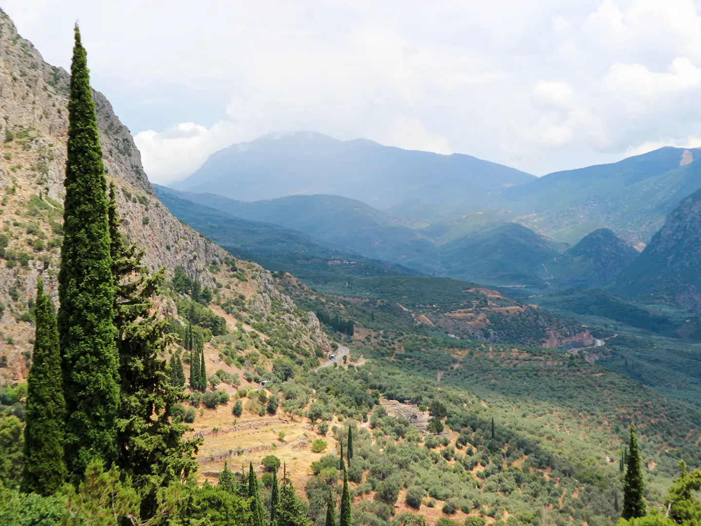
Views to the Gulf of Itea and Corinth: From the summit ridge, the terrain drops south towards the Gulf of Itea and Corinth, with the Kifissos valley visible to the north-east.
Challenges to expect
Expect a long single-day mountain outing with roughly 1,400–1,500 m of ascent depending on the start point. Above the treeline the route is rocky, exposed and unshaded, with limestone, scree and stony ridge walking. Waymarks exist, but route-finding is still part of the day on the high ridge. Snow can remain into mid-May; winter ascents are alpine mountaineering. There is no shelter on the ridge itself.
HikeList Score
Mount Parnassus Traverse scored 78/100 on HikeList's trail-quality metrics.
See score breakdownHide breakdown
- Ideal length 55
- Balanced challenge 74
- Scenery & wildness 98
- Varied terrain 83
- Accommodation 66
- Food & support 81
- Path quality 98
- Season flexibility 89
Computed from length, challenge, scenery & wildness, terrain variety, accommodation, food & support, path quality and season flexibility.
 Greece
Show more data Show less
- Mountainous
- Forest
- Alpine
- Rocky
- Scree
- Dirt
- Huts
- Hotels
- Pet Friendly
- Water Sources
- Campsites
- Shelters
Photos from hikers
Taken on the trail by people who've reviewed Mount Parnassus Traverse.
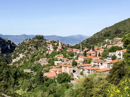
Starting from the village of Ano Polydrosos, this section leads hikers through dense fir and pine forests at the foot of Mount Parnassus. The trail soon climbs steadily toward mountain huts such as Refuge E4 or Refuge Michalis Defner, where trekkers can take a short break and replenish water supplies. Beyond the huts, the ascent grows steeper and the terrain turns rocky as the route approaches Liakoura, the highest point of the traverse at 2,457 meters. After enjoying exceptional views over central Greece, the path continues along a rugged ridgeline and into open alpine meadows before descending through wooded slopes. The day finishes near the outskirts of Arachova or Delphi, with a varied landscape and stretches that alternate between well-marked paths and more challenging scree or rocky sections.
Reviews
How would you rate Mount Parnassus Traverse?
Tap a star to start your review — you could be the first.