Molden Summit Trail
How would you rate Molden Summit Trail?
Tap a star to share your experience and help other hikers.
Molden Summit Trail: Lustrafjord Viewpoint Hike
HikeList Score
Molden Summit Trail scored 75/100 on HikeList's trail-quality metrics.
See score breakdownHide breakdown
- Ideal length 55
- Balanced challenge 100
- Scenery & wildness 88
- Varied terrain 100
- Accommodation 45
- Food & support 52
- Path quality 98
- Season flexibility 76
Computed from length, challenge, scenery & wildness, terrain variety, accommodation, food & support, path quality and season flexibility.
The Molden Summit Trail is a moderate day hike in Luster, Vestland, Western Norway, above the Lustrafjord, an arm of the Sognefjord. It is an ~8.6 km out-and-back from Krossen/Molden parking, climbing about 600–620 m to the 1,118 m summit in roughly 3–4 hours. The route suits hikers who want a short, well-marked mountain climb with big fjord views, without technical ground or major exposure.
Route Overview
Start and finish at Krossen / Molden parking, at about 500 m elevation near Lake Hafslovatnet. The trailhead is reached from Rv55 via the Mollandsmarki gravel road, and the rebuilt car park has flush toilets; parking is free, but overnight parking is not allowed from 00:00–06:00. The route follows the same line up and down, using red painted T markings and signposts. Lower sections mix forest paths and gravel forest road, then the trail opens onto alpine slopes, passes Svarthiller mountain farm, and continues over stone steps and wet-ground walkways to the summit area. For a wider Norway trip, compare Besseggen Ridge, Galdhøpiggen Summit Trail, and Aurlandsdalen Valley Trail.
Molden and the Lustrafjord Landscape
Molden has long been a local viewpoint mountain above the Lustrafjord. The modern path has been upgraded for heavier use, with stone staircases laid by Nepalese Sherpas and boardwalks over wet ground, while the Krossen car park was rebuilt to handle more visitors. From the mountain you look across one of Norway’s historic fjord landscapes, including Ornes and the medieval Urnes Stave Church.
Notable highlights
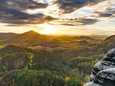
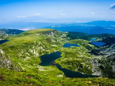
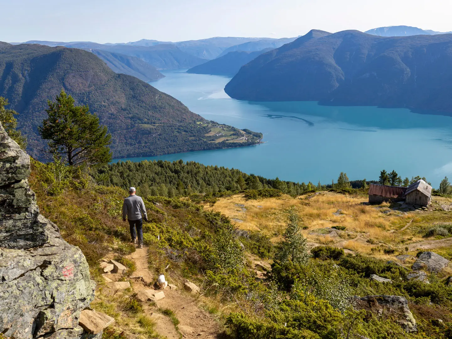
Lustrafjord panorama: The southern arm of the Lustrafjord appears during the climb, while the summit opens the northern arm and a near-360-degree view. On a clear day, Skjolden can be seen at the head of the fjord.
Summit stone shelter: A small stone shelter just below the true summit on the north side gives useful wind protection. It is also one of the best places on the route to look straight down the fjord.
Svarthiller mountain farm: This abandoned seter at about 865–870 m has an old wooden barn and marks the first major fjord views. It is also a logical shorter turnaround point.
Glaciers and Jotunheimen views: From the top, clear conditions reveal peaks of the Hurrungane/Jotunheimen range, plus the Jostedalsbreen and Fresvikbreen glaciers.
Urnes Stave Church: Across the water at Ornes is UNESCO-listed Urnes Stave Church, Norway’s oldest stave church. It is visible from the summit area and adds historical context to the fjord view.
Turquoise fjord water: The Lustrafjord’s milky turquoise colour comes from glacial sediment, or rock flour, carried into the fjord by meltwater.
Challenges to expect
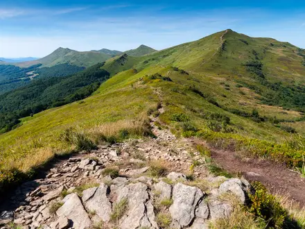
The main challenge is the sustained 600–620 m climb rather than technical terrain. The upper route has some steeper, narrower sections, but exposure is minimal. Expect forest path, gravel, stone steps, alpine ground and boggy sections with walkways. There are no water sources on the trail, so carry what you need. Outside mid-June to mid-September, snow can affect access and conditions.
HikeList Score
Molden Summit Trail scored 75/100 on HikeList's trail-quality metrics.
See score breakdownHide breakdown
- Ideal length 55
- Balanced challenge 100
- Scenery & wildness 88
- Varied terrain 100
- Accommodation 45
- Food & support 52
- Path quality 98
- Season flexibility 76
Computed from length, challenge, scenery & wildness, terrain variety, accommodation, food & support, path quality and season flexibility.
 Norway
Show more data Show less
- Forest
- Mountainous
- Alpine
- Boggy
- Dirt
- Gravel
- Stone Steps
- Wooden Walkways
- Family Friendly
- Pet Friendly
- Restrooms
- Picnic Areas
Photos from hikers
Taken on the trail by people who've reviewed Molden Summit Trail.
Reviews
How would you rate Molden Summit Trail?
Tap a star to start your review — you could be the first.