Minster Way
How would you rate Minster Way?
Tap a star to share your experience and help other hikers.
Minster Way: Beverley to York Across the Wolds
HikeList Score
Minster Way scored 80/100 on HikeList's trail-quality metrics.
See score breakdownHide breakdown
- Ideal length 78
- Balanced challenge 100
- Scenery & wildness 58
- Varied terrain 94
- Accommodation 83
- Food & support 61
- Path quality 98
- Season flexibility 89
Computed from length, challenge, scenery & wildness, terrain variety, accommodation, food & support, path quality and season flexibility.
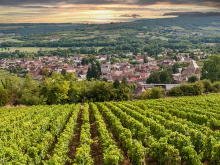
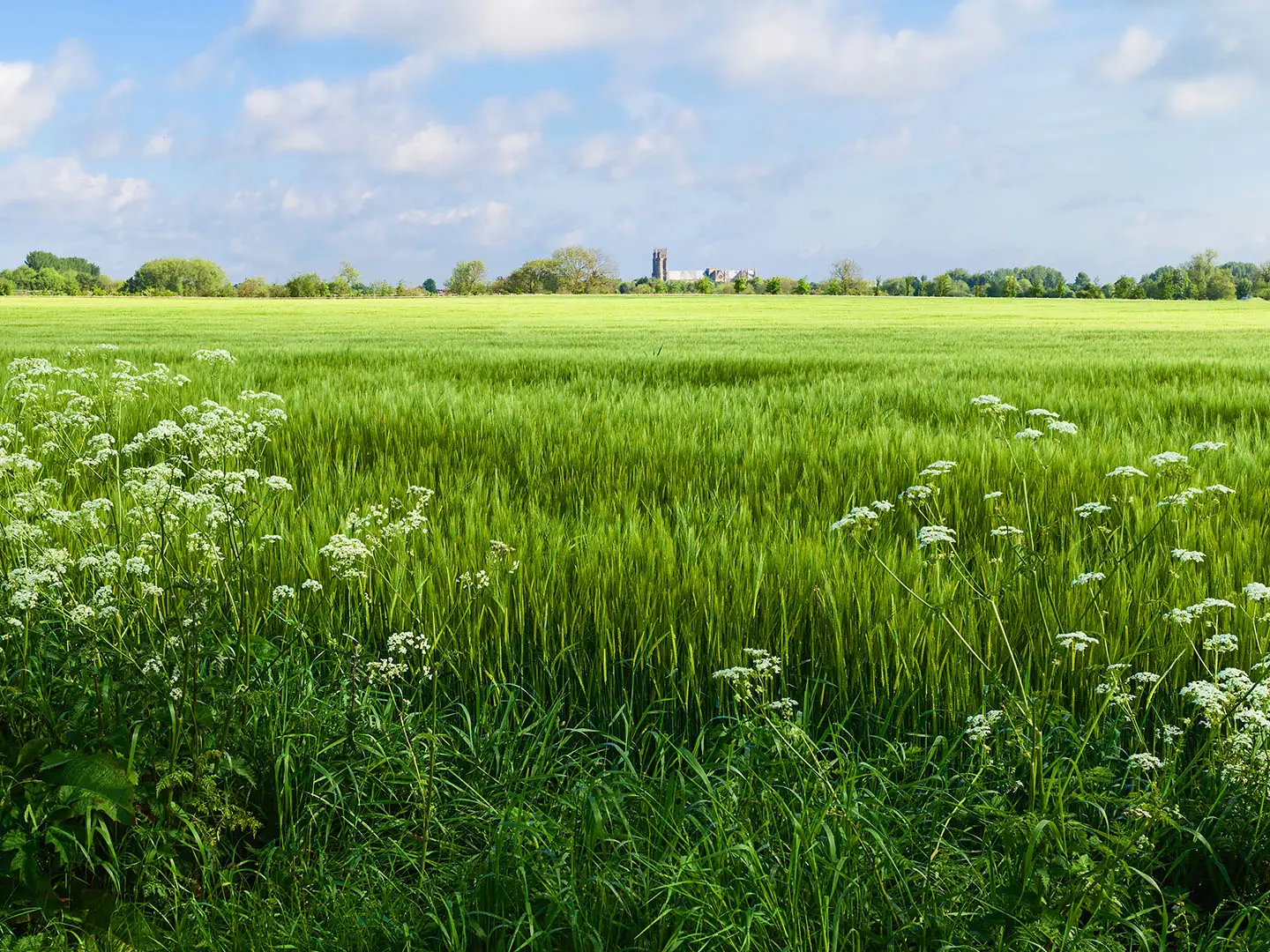
The Minster Way is an 80 km / 50 mile waymarked long-distance footpath in England, linking Beverley Minster in the East Riding of Yorkshire with York Minster in North Yorkshire. Most walkers take 3–5 days. It is a moderate point-to-point walk: mainly farmland, grass field paths, chalk Wolds and river valleys, with modest total ascent but a few sharp climbs around Millington Dale, Cow Moor and Sylvan Dale. It suits walkers who want a historic lowland route with straightforward rail access at both ends.
Route Overview
The route usually runs south-east to north-west from Beverley Minster to York Minster, though it can be walked in reverse. From Beverley it crosses East Riding farmland via Scorborough, Lockington, Kilnwick, Bainton and North Dalton, then enters the Yorkshire Wolds around Huggate, Millington, Great Givendale and Bishop Wilton. It then drops towards Full Sutton and Stamford Bridge, follows the River Derwent into the Plain of York, and finishes beside the River Ouse into York. Beverley and York are both on the rail network, making this a practical linear walk. For planning comparisons with other lowland UK routes, see the Amber Valley Route, the canal-side Ashby Canal Trail and the river-valley Annandale Way.
History of the Minster Way
The Minster Way was established in 1980 by Ray Wallis of the East Yorkshire Area of The Ramblers. It was designed as a modern recreational walking link between two great medieval churches: Beverley Minster and York Minster. It is not an ancient pilgrim route, but it uses public rights of way to connect historic landscapes and settlements across the East Riding and the Yorkshire Wolds, including Stamford Bridge, the site of the 1066 battle shortly before Hastings.
Notable highlights
- Beverley Minster (start): A vast Gothic church and the route’s southern terminus. It gives the walk a clear, memorable starting point in Beverley.
- Yorkshire Wolds & Millington Dale (chalk hills): The route climbs steeply onto Cow Moor above Millington Dale, briefly sharing the Yorkshire Wolds Way National Trail, before dropping into Sylvan Dale. This is the most pronounced hill section of the walk.
- Great Givendale, St Ethelburga’s Church (quiet valley): A small, much-photographed church rebuilt in 1849 and set in a wooded side valley.
- Bishop Wilton (Wolds village): The approach gives wide views over the Vale of York; on a clear day Drax power station, York Minster and the Pennines may be visible.
- Stamford Bridge (1066 battlefield): The path passes the battlefield site before entering the village, marking the place where Harold Godwinson defeated Harald Hardrada.
- York Minster (finish): One of Northern Europe’s largest Gothic cathedrals, known for its medieval stained glass including the Great East Window.
Challenges to expect
Expect mostly gentle walking, but do not underestimate the distance: 80 km over 3 days means long daily mileage. Waymarking uses the Minster Way symbol but is sparse in places, so carry an OS map or GPS. Field paths can be muddy after wet weather, and accommodation between Beverley and York is limited, so plan stages around villages with pubs or inns.
HikeList Score
Minster Way scored 80/100 on HikeList's trail-quality metrics.
See score breakdownHide breakdown
- Ideal length 78
- Balanced challenge 100
- Scenery & wildness 58
- Varied terrain 94
- Accommodation 83
- Food & support 61
- Path quality 98
- Season flexibility 89
Computed from length, challenge, scenery & wildness, terrain variety, accommodation, food & support, path quality and season flexibility.
 United Kingdom
 England
Show more data Show less
- Farmland
- Rolling Chalk Hills (Yorkshire Wolds)
- River Valley
- Lowland Plain
- Dirt
- Grass Field Paths
- Some Minor Roads/Lanes
- Pubs/Inns With Rooms
- Hotels
- B&Bs
- Family Friendly
- Pet Friendly
- Campsites
Photos from hikers
Taken on the trail by people who've reviewed Minster Way.
Reviews
How would you rate Minster Way?
Tap a star to start your review — you could be the first.