Lysá Hora Ascent
How would you rate Lysá Hora Ascent?
Tap a star to share your experience and help other hikers.
Lysá Hora Ascent: Beskydy Summit Day Hike
HikeList Score
Lysá Hora Ascent scored 74/100 on HikeList's trail-quality metrics.
See score breakdownHide breakdown
- Ideal length 55
- Balanced challenge 80
- Scenery & wildness 98
- Varied terrain 77
- Accommodation 49
- Food & support 72
- Path quality 84
- Season flexibility 89
Computed from length, challenge, scenery & wildness, terrain variety, accommodation, food & support, path quality and season flexibility.
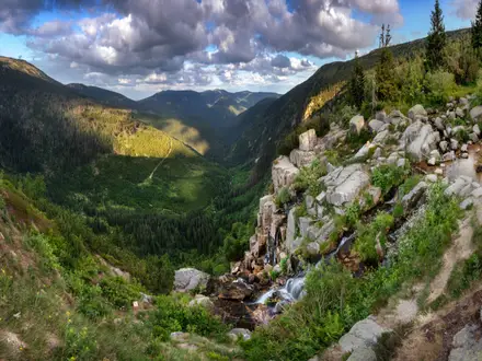
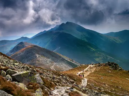
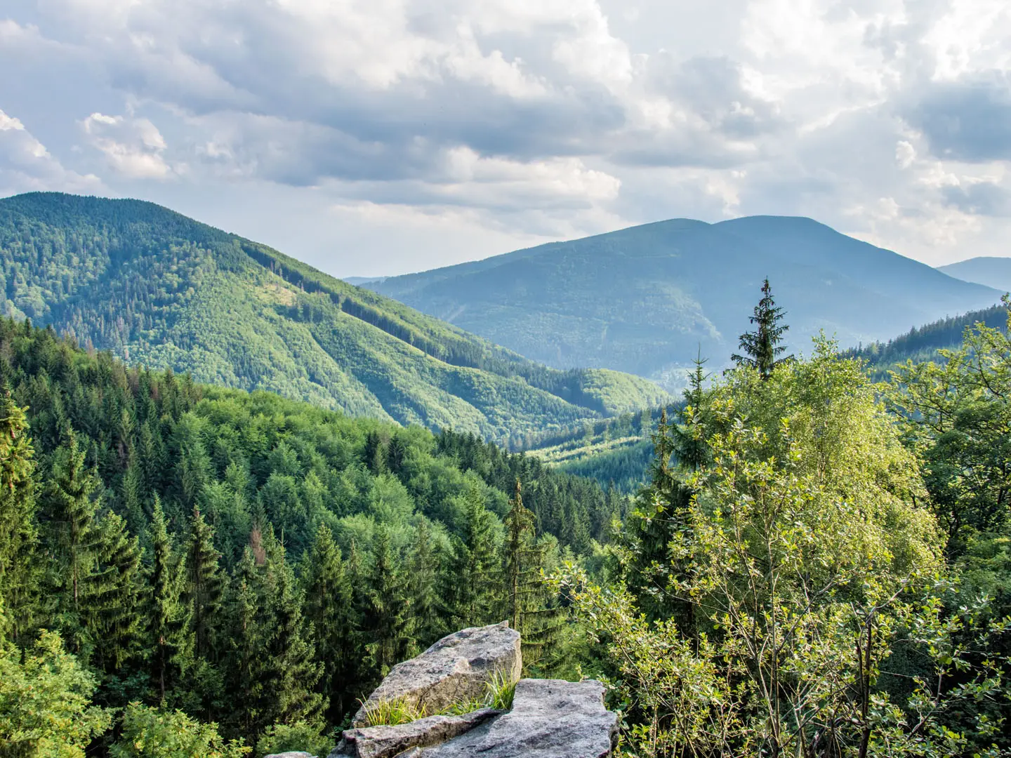
The Lysá Hora Ascent is a hard 14 km out-and-back day hike from Ostravice in the Moravian-Silesian Beskids of eastern Czechia. It climbs to Lysá Hora, the 1,323 m high point of the range, with about 900 m of ascent and a rough, steep upper section. It suits fit hikers who want a straightforward but strenuous Czech mountain day, with summit huts, wide views and clear KČT waymarking rather than technical scrambling.
Route Overview
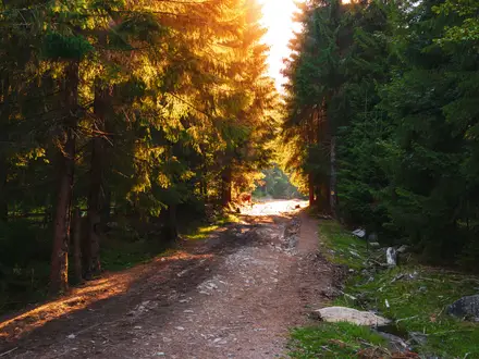
The classic route starts and finishes in Ostravice, using the red KČT trail from the village/train station to the summit and returning the same way. The ascent passes the lower forested slopes around Ostravice, continues towards Mazák and Butořanka junction, then steepens on rooty, bouldery forest path before reaching the broad, building-topped Lysá Hora summit. This is an out-and-back walk, though loop variants from Ostravice or Malenovice extend the day to about 16–16.5 km. Malenovice near Frýdlant nad Ostravicí and Krásná are alternative starts. For another Czech mountain walk, compare the Bílá Opava Valley Path or the Krkonoše route from Černá Hora to Pec pod Sněžkou.
Lysá Hora’s Mountain History
Lysá Hora has drawn walkers since the late 19th century. A refuge was built on the slopes around 1880 by Habsburg archduke Albrecht, and rainfall and snow measurements began in 1897. The professional meteorological station dates from 1947. Bezručova chata opened in 1935, named after Silesian poet Petr Bezruč, who climbed the mountain regularly. Earlier summit chalets, including Bezručova chata, burned in the 1970s and were later rebuilt.
Notable highlights
- Summit panorama: The open plateau gives long views across Czechia and Slovakia, including Radhošť, Praděd and, in clear weather, the High Tatras and Slovak Malá Fatra.
- Meteorological station: Weather records here go back to 1897, with a professional station operating since 1947. The summit is known as one of the windiest and wettest places in the country.
- 78-metre transmitter tower: The television and radio mast is the landmark that makes Lysá Hora instantly recognisable from the surrounding lowlands.
- Summit huts: Bezručova chata and Emil Zátopek’s hut provide food and drink on the summit, with simple lodging available if needed.
- Ivančena cairn: This stone memorial on the Lysá Hora massif commemorates Silesian Scouts executed by the Nazis; scouts continue to add stones each year.
- Bald summit: “Lysá Hora” means “Bald Mountain”, reflecting its exposed, largely treeless top.
Challenges to expect
The difficulty is physical rather than technical: expect about 900 m of ascent, a long uphill and a steep final forest section with roots, boulders and loose stone. Lower sections use asphalt and stony forest road. Weather can change quickly on the exposed summit, which is notably windy and wet. Winter ascents require crampons or microspikes and suitable experience. For a gentler Czech long-distance contrast, see the Czech Greenways.
HikeList Score
Lysá Hora Ascent scored 74/100 on HikeList's trail-quality metrics.
See score breakdownHide breakdown
- Ideal length 55
- Balanced challenge 80
- Scenery & wildness 98
- Varied terrain 77
- Accommodation 49
- Food & support 72
- Path quality 84
- Season flexibility 89
Computed from length, challenge, scenery & wildness, terrain variety, accommodation, food & support, path quality and season flexibility.
 Czechia
Show more data Show less
- Mountainous
- Forest
- Paved
- Gravel
- Rocky
- Dirt
- Huts
- Family Friendly
- Pet Friendly
- Restrooms
- Water Sources
- Shelters
- Picnic Areas
Photos from hikers
Taken on the trail by people who've reviewed Lysá Hora Ascent.
Reviews
How would you rate Lysá Hora Ascent?
Tap a star to start your review — you could be the first.