Landmannalaugar to Hrafntinnusker
How would you rate Landmannalaugar to Hrafntinnusker?
Tap a star to share your experience and help other hikers.
Landmannalaugar to Hrafntinnusker: Laugavegur’s Hardest First Stage
HikeList Score
Landmannalaugar to Hrafntinnusker scored 72/100 on HikeList's trail-quality metrics.
See score breakdownHide breakdown
- Ideal length 55
- Balanced challenge 84
- Scenery & wildness 78
- Varied terrain 71
- Accommodation 58
- Food & support 72
- Path quality 98
- Season flexibility 63
Computed from length, challenge, scenery & wildness, terrain variety, accommodation, food & support, path quality and season flexibility.
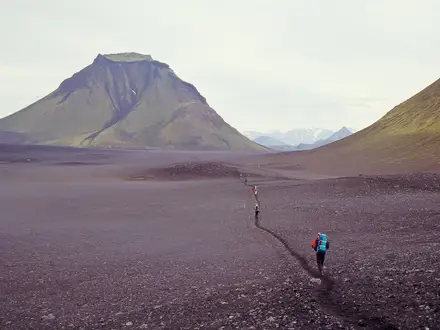
Landmannalaugar to Hrafntinnusker is the 12 km opening stage of the Laugavegur in the Fjallabak Nature Reserve, southern highlands of Iceland. It is a hard, one-day point-to-point hike, usually taking 4–5 hours, from the Landmannalaugar hut and campsite to Hrafntinnusker / Höskuldsskáli hut. Expect 470 m of ascent, exposed highland weather, snowfields and rocky volcanic ground. It suits fit hikers starting the full Laugavegur or experienced walkers wanting a demanding standalone highland day.
Route Overview
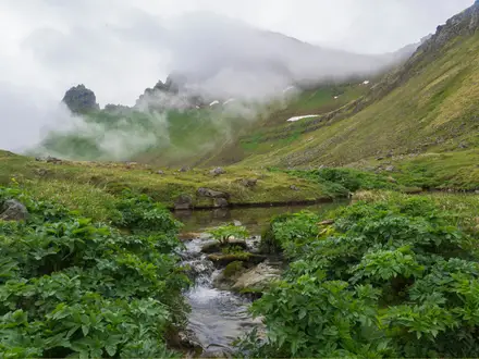
The route starts at the Landmannalaugar hut and campsite at about 600 m, then climbs through the Laugahraun lava field, past Brennisteinsalda and geothermal ground near Stórihver, before crossing obsidian fields towards Hrafntinnusker. It finishes at Höskuldsskáli hut and campsite, the highest hut on the Laugavegur. This is a one-way, point-to-point stage, normally walked north-to-south as day 1 of the wider Landmannalaugar to Þórsmörk Laugavegur. The verified brief does not specify transport access, so plan hut, campsite and onward logistics before committing. For other Icelandic volcanic terrain, compare the Fimmvörðuháls Trail or the Askja Trail.
History of the Laugavegur and Hrafntinnusker
The Laugavegur was established as a marked route on 30 September 1978 and has become Iceland’s best-known long-distance trail. Landmannalaugar means “the people’s pools”, reflecting its long association with hot springs, while the obsidian around Hrafntinnusker was used by early Icelanders for tools. The route’s risks are part of its modern history too: a memorial cairn near the hut honours Ido Keinan, who died of hypothermia close to shelter during a June 2004 storm.
Notable highlights
- Landmannalaugar geothermal area: The trailhead is a highland hot-spring area ringed by multicoloured rhyolite mountains. Many hikers know it for the natural warm stream before or after the walk.
- Laugahraun lava field: The first kilometre crosses black, jagged, obsidian-rich lava from the Torfajökull volcanic system. The path threads through twisted volcanic rock.
- Brennisteinsalda: This sulphur-streaked volcano beside the route is marked by red, green, yellow and black mineral colours, with steaming geothermal activity on its flanks.
- Stórihver: A geothermal patch of fumaroles and hot springs roughly halfway along the stage. It is one of the active areas where steam vents through the ground.
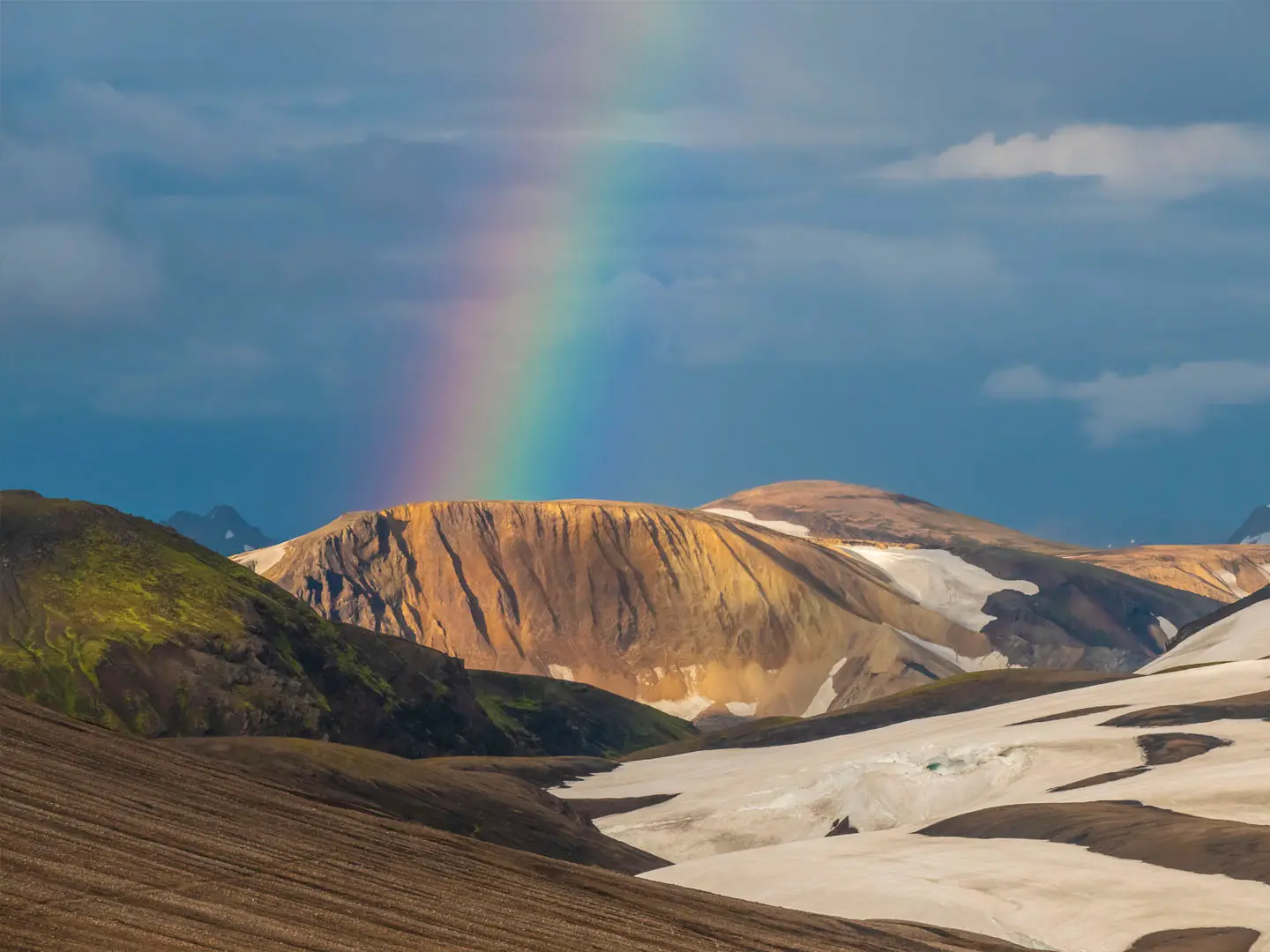
- Obsidian fields and ice caves of Hrafntinnusker: Hrafntinnusker means “obsidian skerry”; black volcanic glass scatters the slopes, and geothermal steam can melt ice caves beneath snow.
- Höskuldsskáli / Hrafntinnusker hut: The stage ends at this basic Ferðafélag Íslands hut and campsite, a stark refuge in exposed, snow-streaked highland terrain.
Challenges to expect
This is widely treated as the toughest Laugavegur stage. Most of the trail’s ascent comes here, the route reaches its highest and most exposed ground, and fog can make navigation difficult despite waymarking and poles. Snowfields often persist through summer, especially near Hrafntinnusker. There are no towns or villages on the route, so carry food, layers and safety equipment. For remoteness planning, the Hornstrandir Trek is a useful comparison.
HikeList Score
Landmannalaugar to Hrafntinnusker scored 72/100 on HikeList's trail-quality metrics.
See score breakdownHide breakdown
- Ideal length 55
- Balanced challenge 84
- Scenery & wildness 78
- Varied terrain 71
- Accommodation 58
- Food & support 72
- Path quality 98
- Season flexibility 63
Computed from length, challenge, scenery & wildness, terrain variety, accommodation, food & support, path quality and season flexibility.
 Iceland
Show more data Show less
- Mountainous
- Arctic
- Dirt
- Rocky
- Snow
- Huts
- Campsites
- Pet Friendly
- Restrooms
- Water Sources
- Campsites
- Shelters
Photos from hikers
Taken on the trail by people who've reviewed Landmannalaugar to Hrafntinnusker.
Reviews
How would you rate Landmannalaugar to Hrafntinnusker?
Tap a star to start your review — you could be the first.