Iezer Lake Trail
How would you rate Iezer Lake Trail?
Tap a star to share your experience and help other hikers.
Iezer Lake Trail: Cabana Voina to Lacul Iezer
HikeList Score
Iezer Lake Trail scored 73/100 on HikeList's trail-quality metrics.
See score breakdownHide breakdown
- Ideal length 55
- Balanced challenge 74
- Scenery & wildness 98
- Varied terrain 83
- Accommodation 49
- Food & support 65
- Path quality 98
- Season flexibility 76
Computed from length, challenge, scenery & wildness, terrain variety, accommodation, food & support, path quality and season flexibility.
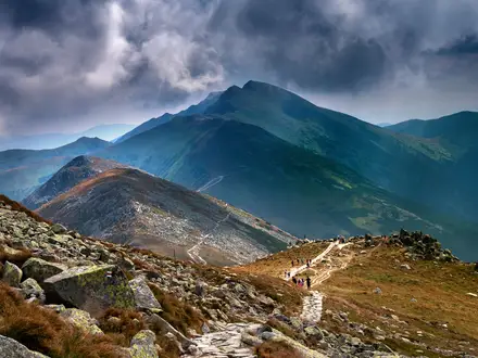
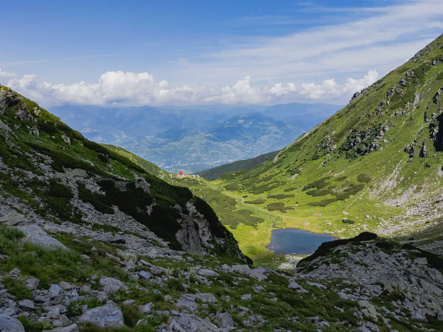
The Iezer Lake Trail is a hard 1-day out-and-back hike in the Iezer-Păpușa Mountains of Argeș County, Romania. Starting at Cabana Voina near Câmpulung Muscel, it climbs roughly 14 km round trip with about 1,200 m of ascent to Lacul Iezer and Refugiul Iezer at around 2,130 m. It suits fit hikers comfortable with a long forest approach, rocky upper ground, basic navigation and a full 8–11 hour mountain day.
Route Overview
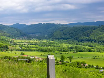
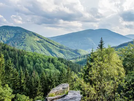
The classic route starts and ends at Cabana Voina, reached from Câmpulung Muscel. From the trailhead, the path follows a forest road and footpath up Valea Bătrâna beside running water, crosses the stream, then climbs through dense spruce and beech forest. Higher up it reaches Piciorul Iezerul Mare, passes through subalpine juniper and finishes on rockier alpine ground at Refugiul Iezer and Lacul Iezer. Most hikers turn around at the lake and retrace their steps. Two marked variants leave Cabana Voina: blue dot plus white square, around 4 hours up and not recommended in winter; or blue cross, around 5 hours up and the safer winter line. For bigger Carpathian objectives, compare the Carpathian Ridge Trail or Bucura Lake Circuit.
Notable highlights
- Lacul Iezer: The only glacial lake in the Iezer-Păpușa massif, set in a cirque just south-east of Vârful Iezerul Mare. The mountain range is named after it.
- Refugiul Iezer: An unstaffed mountain refuge beside the lake at around 2,135 m. It is the natural turnaround point and offers basic shelter, but no services.
- Valea Bătrâna forest and river: The long lower ascent follows a forested valley with abundant running water and springs. Treat water before drinking and watch the markings carefully in the trees.
- Crucea Ateneului: A summit cross on the red-band ridge crest about 30 minutes above the lake. It is an extension beyond the standard out-and-back, not the usual high point.
- Vârful Roșu and ridge views: The wider crest includes Vârful Roșu at 2,469 m, the highest point of the Iezer-Păpușa range. Reaching it requires an extended ridge variant, not the classic lake hike.
- Southern Carpathian context: If you are planning more Romanian mountain walks, nearby comparisons include the Bâlea Lake to Bâlea Waterfall hike and the Bucegi Plateau Circuit.
Challenges to expect
Expect a strenuous ascent of about 1,200 m, a long day of 8–11 hours, and rocky or loose ground near the lake. Blazes can be easy to lose in the forest, so carry a map or GPS. Water is plentiful low down but scarce above the treeline. Brown bears are present in the lower forest; make noise and manage food carefully.
HikeList Score
Iezer Lake Trail scored 73/100 on HikeList's trail-quality metrics.
See score breakdownHide breakdown
- Ideal length 55
- Balanced challenge 74
- Scenery & wildness 98
- Varied terrain 83
- Accommodation 49
- Food & support 65
- Path quality 98
- Season flexibility 76
Computed from length, challenge, scenery & wildness, terrain variety, accommodation, food & support, path quality and season flexibility.
 Romania
Show more data Show less
- Mountainous
- Forest
- Alpine
- Dirt
- Rocky
- Gravel
- Huts
- Pet Friendly
- Water Sources
- Campsites
- Shelters
Photos from hikers
Taken on the trail by people who've reviewed Iezer Lake Trail.
Reviews
How would you rate Iezer Lake Trail?
Tap a star to start your review — you could be the first.