Hussite Trail
How would you rate Hussite Trail?
Tap a star to share your experience and help other hikers.
Hussite Trail: South Bohemia’s Hussite-lands Walk
HikeList Score
Hussite Trail scored 85/100 on HikeList's trail-quality metrics.
See score breakdownHide breakdown
- Ideal length 78
- Balanced challenge 100
- Scenery & wildness 85
- Varied terrain 76
- Accommodation 74
- Food & support 88
- Path quality 98
- Season flexibility 89
Computed from length, challenge, scenery & wildness, terrain variety, accommodation, food & support, path quality and season flexibility.
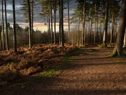
The Hussite Trail is a 55 km, 4-day, moderate heritage walk in South Bohemia, Czechia, centred on Tábor and the Lužnice river valley. It suits hikers who want culture, wooded river walking and easy logistics rather than a mountain trek. The route uses existing Czech KČT colour waymarks and links Hussite sites, Tábor’s medieval core, Příběnice castle ruins and Bechyně. Expect rolling lowland terrain, forest and gravel paths, guesthouse accommodation and rail access for splitting stages.
Route Overview
The best-supported through-route runs point-to-point from Tábor to Bechyně through the Lužnice Valley / Toulava landscape, following KČT-marked paths rather than a single dedicated long-distance blaze. Tábor is the natural base and historical focus; downstream, the route follows wooded river-valley terrain past historic mills and the cliff-top ruins of Příběnice before reaching the spa town of Bechyně. Signed Hussite-lands variants also include shorter day walks, notably Planá nad Lužnicí → Sezimovo Ústí → Tábor via the Hýlačka lookout tower, Pintovka forest and Švehla Bridge. If you are comparing gentler Czech walking routes, see the Czech Greenways or the sandstone-country Golden Trail of the Czech Paradise.
Hussite history on the trail
The trail’s theme is the Hussite movement, the early-15th-century Czech religious reformation inspired by Master Jan Hus, who was burned at the Council of Constance in 1415. His followers founded Tábor in spring 1420 as a fortified base for the radical Taborites, naming it after biblical Mount Tabor. Under Jan Žižka, the Hussites won key victories in the Hussite Wars and used wagon-fort tactics. The modern walking route links this history with the Lužnice valley’s castles, mills and towns.
Notable highlights
- Tábor old town and Žižkovo náměstí: The medieval core is the spiritual centre of the route, with narrow lanes, the main square named after Jan Žižka and key Hussite-era associations.
- Hussite Museum, Tábor: Housed in the Old Town Hall, this is the best stop for understanding the Hussite movement and the radical Taborites before walking the route.
- Kozí hrádek: These Gothic castle ruins just outside Tábor are linked directly to Jan Hus, who lived and preached here after leaving Prague.
- Kotnov Castle and Bechyně Gate: Tábor’s surviving fortified gateway and round tower mark the town’s defensive past and give a strong sense of its medieval layout.
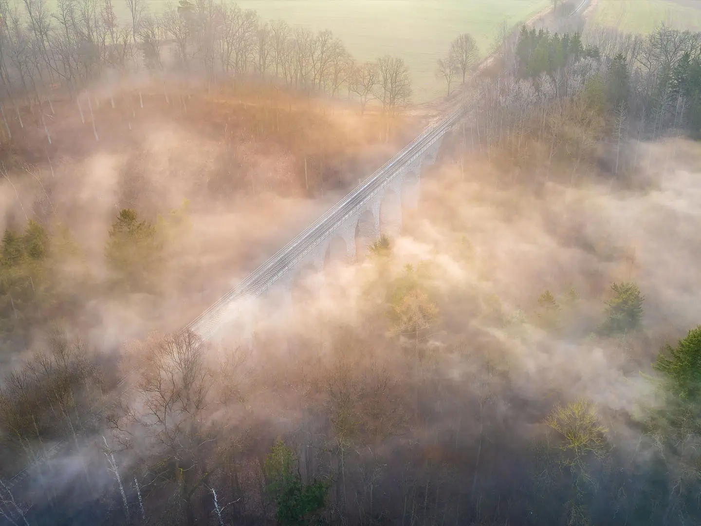
- Lužnice river valley and Příběnice ruins: The wooded valley is the most scenic walking section, passing historic water mills and the cliff-top ruins of Příběnice castle.
- Sezimovo Ústí: This older settlement near Tábor adds riverside walking, weirs, the Edvard Beneš villa and tomb, and access towards the Hýlačka lookout tower.
Challenges to expect
This is not a high-mountain route, but the full 55 km still needs steady multi-day pacing. Expect forest and field paths, gravel tracks, riverbank sections and some quiet roads or town cobbles. Navigation depends on KČT colour waymarks and a mapy.cz/KČT map, because the branded “Hussite Trail” is a network concept rather than one unique blaze. Spring to autumn is best; winter can be cold, muddy or snowy. For rougher Czech gorge walking, compare Edmund's Gorge to Hřensko.
HikeList Score
Hussite Trail scored 85/100 on HikeList's trail-quality metrics.
See score breakdownHide breakdown
- Ideal length 78
- Balanced challenge 100
- Scenery & wildness 85
- Varied terrain 76
- Accommodation 74
- Food & support 88
- Path quality 98
- Season flexibility 89
Computed from length, challenge, scenery & wildness, terrain variety, accommodation, food & support, path quality and season flexibility.
 Czechia
Show more data Show less
- Forest
- Rolling Hills
- River Valley
- Dirt
- Gravel
- Hotels
- Guesthouses
- Family Friendly
- Pet Friendly
- Restrooms
- Water Sources
- Campsites
- Picnic Areas
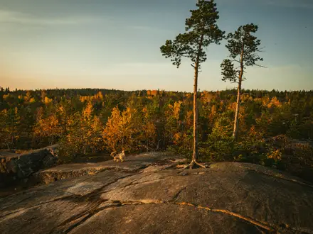
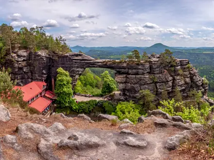
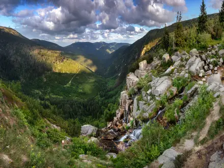
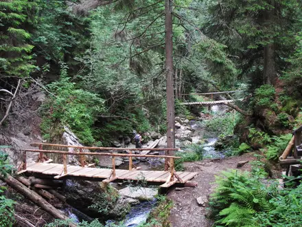
Photos from hikers
Taken on the trail by people who've reviewed Hussite Trail.
Reviews
How would you rate Hussite Trail?
Tap a star to start your review — you could be the first.