GR96 (Mont Blanc to Geneva)
How would you rate GR96 (Mont Blanc to Geneva)?
Tap a star to share your experience and help other hikers.
GR96: Samoens to Aix-les-Bains across the Pre-Alpes
HikeList Score
GR96 (Mont Blanc to Geneva) scored 82/100 on HikeList's trail-quality metrics.
See score breakdownHide breakdown
- Ideal length 91
- Balanced challenge 52
- Scenery & wildness 98
- Varied terrain 71
- Accommodation 83
- Food & support 88
- Path quality 98
- Season flexibility 63
Computed from length, challenge, scenery & wildness, terrain variety, accommodation, food & support, path quality and season flexibility.
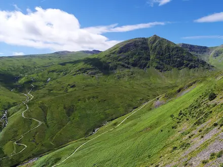
The GR96 is a 207 km French Grande Randonnée through the Pre-Alpes of Haute-Savoie and Savoie, from Samoens to Aix-les-Bains. Allow 10-14 days for this strenuous point-to-point hike, with 11,917 m of ascent, rocky limestone, forest paths, pasture and long mountain stages. It suits fit hikers who want a quieter Alpine traverse without technical climbing. For wider planning, see more France hiking routes.
Route Overview
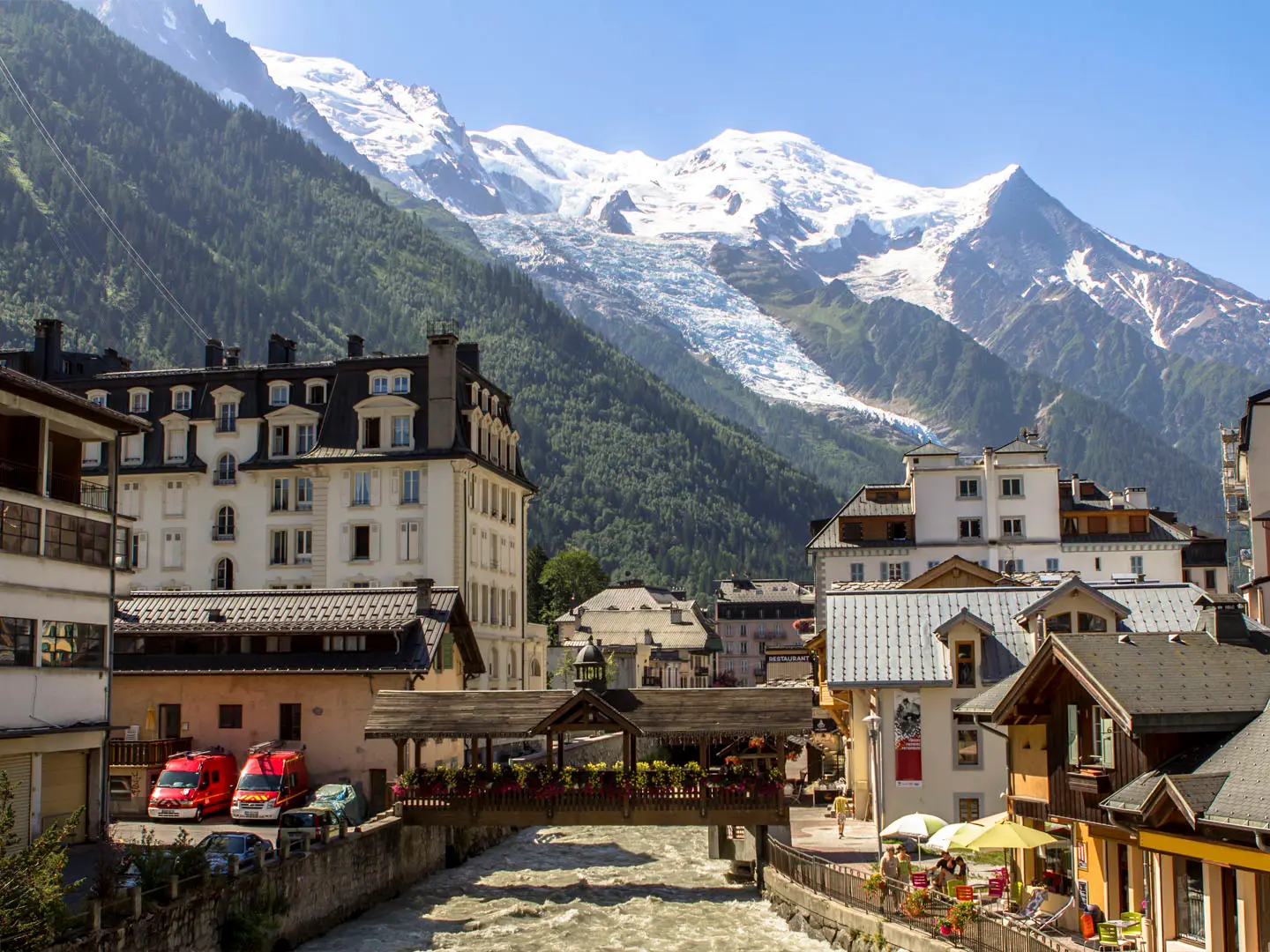
Most sources describe the GR96 north-east to south-west: Samoens, Sixt-Fer-a-Cheval, the Desert de Plate, Flaine, Magland and the Arve valley, Le Reposoir, the Aravis foothills, Plateau des Glieres, La Balme-de-Thuy, Annecy, the Massif des Bauges villages of Le Chatelard, Lescheraines and Arith, then Pugny-Chatenod and Mouxy before Aix-les-Bains on Lac du Bourget. It is a waymarked point-to-point GR with white-over-red flashes. Resupply is mainly in valley towns and larger centres such as Annecy and Aix-les-Bains. For a nearby Pre-Alpine comparison, see the Chartreuse Trail (GR9 Segment), or compare limestone cirque walking with the Cirque de Gavarnie Trails.
GR96 history and the Plateau des Glieres
The GR96 belongs to France’s national Grande Randonnée network, developed and waymarked by the Fédération Française de la Randonnée Pédestre from the late 1940s onward. It links existing mountain paths across the Pre-Alpes of Savoie and Haute-Savoie. Its most significant historical site is the Plateau des Glieres, where 465 maquisards gathered in early 1944 to receive Allied weapons drops before being attacked by Vichy and German forces in March 1944.
Notable highlights
- Cirque du Fer-a-Cheval, Sixt-Fer-a-Cheval: A huge limestone mountain cirque near the start, inside the Sixt-Passy National Nature Reserve, with many waterfalls during the spring melt.
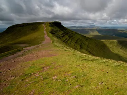
- Desert de Plate: A high karst plateau above Flaine, close to the GR96’s 2,355 m high point, known for lapiaz limestone pavements and sparse alpine terrain.
- Plateau des Glieres: An upland in the Bornes massif east of Annecy and a major French Resistance site, with the Emile Gilioli National Monument and Memoire du Maquis centre.
- Annecy and Lac d’Annecy: The natural mid-route hub for food, rest and resupply, with canals, an old town and a lake setting.
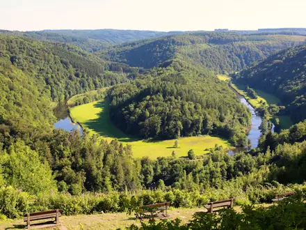
- Massif des Bauges Regional Natural Park: A protected limestone massif of pasture, forest and quiet villages; this is one of the most physically demanding parts of the GR96.
- Aix-les-Bains and Lac du Bourget: The finish point, a spa town beside Lac du Bourget, giving the route a clear lakeside ending.
Challenges to expect
Expect sustained effort rather than technical climbing: 207 km, 11,917 m of ascent, steep Alpine and Pre-Alpine paths, rocky limestone underfoot and tiring climbs through the Bauges. The Desert de Plate and higher cols can hold snow before July, while autumn weather can become unstable. Navigation is helped by standard GR white-red waymarks, but mist on limestone plateaux can still make route-finding harder.
HikeList Score
GR96 (Mont Blanc to Geneva) scored 82/100 on HikeList's trail-quality metrics.
See score breakdownHide breakdown
- Ideal length 91
- Balanced challenge 52
- Scenery & wildness 98
- Varied terrain 71
- Accommodation 83
- Food & support 88
- Path quality 98
- Season flexibility 63
Computed from length, challenge, scenery & wildness, terrain variety, accommodation, food & support, path quality and season flexibility.
 France
Show more data Show less
- Mountainous
- Forest
- Dirt
- Rocky
- Gravel
- Huts
- Hostels
- Hotels
- Family Friendly
- Pet Friendly
- Restrooms
- Water Sources
- Campsites
- Shelters
Photos from hikers
Taken on the trail by people who've reviewed GR96 (Mont Blanc to Geneva).
Reviews
How would you rate GR96 (Mont Blanc to Geneva)?
Tap a star to start your review — you could be the first.