GR7 (Long Trail through Languedoc)
How would you rate GR7 (Long Trail through Languedoc)?
Tap a star to share your experience and help other hikers.
GR7 (Long Trail through Languedoc): France’s Watershed Traverse
HikeList Score
GR7 (Long Trail through Languedoc) scored 82/100 on HikeList's trail-quality metrics.
See score breakdownHide breakdown
- Ideal length 52
- Balanced challenge 84
- Scenery & wildness 98
- Varied terrain 71
- Accommodation 92
- Food & support 81
- Path quality 98
- Season flexibility 89
Computed from length, challenge, scenery & wildness, terrain variety, accommodation, food & support, path quality and season flexibility.
The GR7 is a 1,537 km point-to-point grande randonnée across France, running from the Ballon d’Alsace in the Vosges to the Andorran border. Allow about 60–75 days for a full thru-hike. It is a hard, waymarked mountain and forest route, suited to experienced long-distance hikers who can manage sustained daily distance, major cumulative ascent and variable upland weather. The “Languedoc” label is misleading: Haut-Languedoc and the Cévennes are one southern section, not the whole trail.
Route Overview
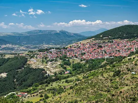
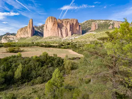
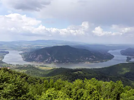
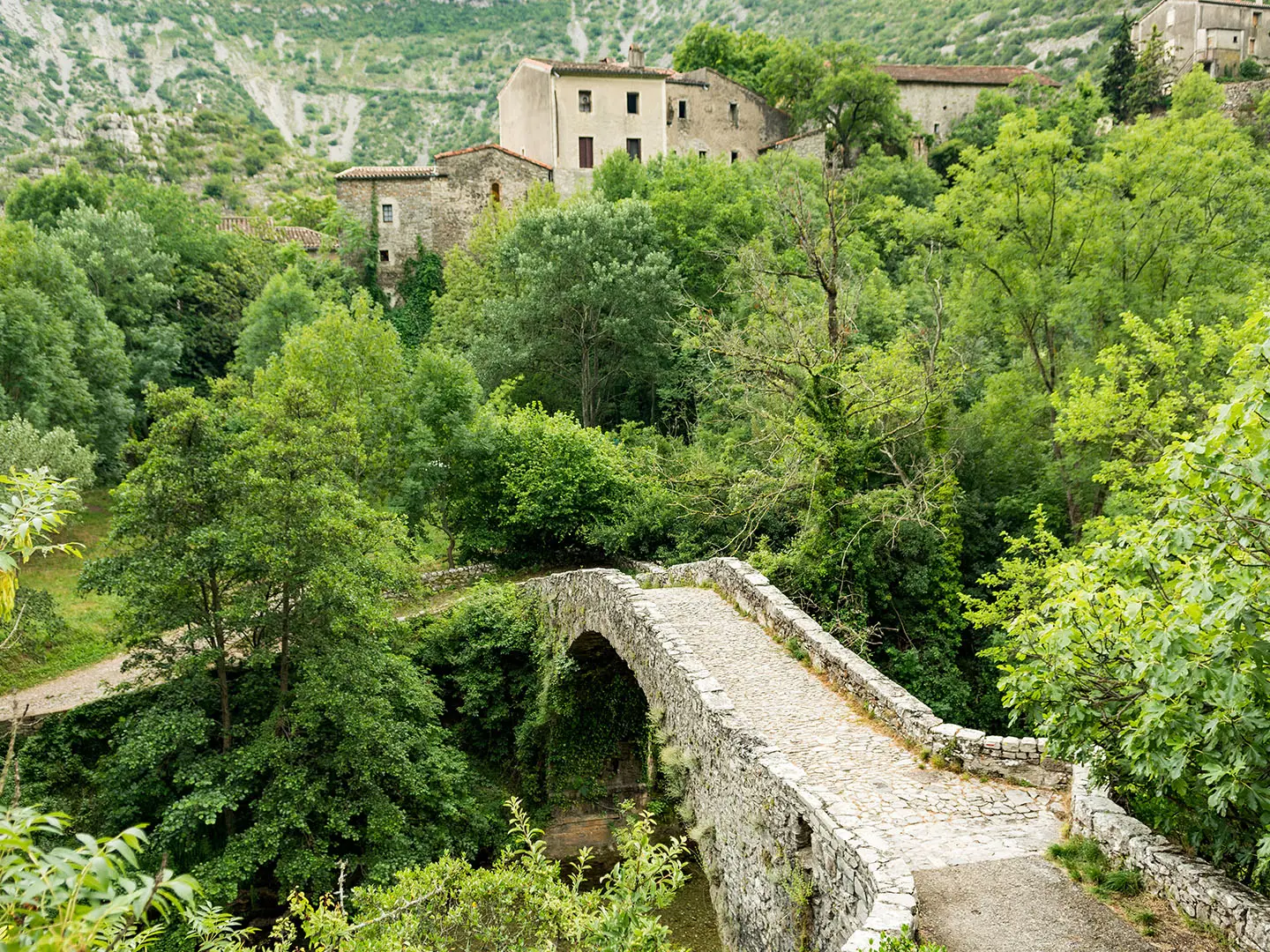
The GR7 starts at the Ballon d’Alsace in Grand Est and follows France’s broad watershed line south-west through Langres, Mont Mézenc, the Monts d’Ardèche, Mont Lozère, Florac, Mont Aigoual, Le Vigan, the Cirque de Navacelles, the Caroux, the Montagne Noire and the Lauragais near Castelnaudary, before entering the Pyrénées-Catalanes and reaching Andorra. It is a single continuous red-and-white-blazed GR route, not a loop. Most hikers walk it in sections; the Ballons des Vosges Park Trails make a logical northern comparison, while the Canal du Midi Towpath is a gentler nearby option in the south.
A GR route built around France’s watershed line
The GR7 is one of the historic long-distance routes of the Fédération Française de la Randonnée Pédestre network. Its defining idea is the ligne de partage des eaux: the divide between rivers flowing towards the Atlantic, Channel and North Sea, and those draining to the Mediterranean. The route links older pastoral droving roads, known as drailles, with ridges and upland paths across the Vosges, Massif Central, Cévennes and Pyrenees.
Notable highlights
- Ballon d’Alsace and the Vosges: The northern trailhead sits in the Parc naturel régional des Ballons des Vosges, where rounded, forested summits set the tone for the watershed traverse.
- Mont Mézenc (1,753 m): This volcanic summit on the Ardèche/Haute-Loire border is the high point of the main northern watershed line and a key Massif Central landmark.
- Cévennes National Park and Mont Aigoual (1,565 m): The GR7 crosses France’s mainland mountain national park; Mont Aigoual is known for fog, wind, rain and its meteorological observatory.
- Cirque de Navacelles: A dramatic horseshoe canyon carved by the Vis river into the limestone causses, and one of the standout southern landscapes.
- Caroux massif and Haut-Languedoc: The route climbs steeply through rugged Haut-Languedoc terrain before continuing towards the Montagne Noire.
- Pyrénées-Catalanes to Andorra: The final high section reaches roughly 2,500 m before the Andorran border. For a different Pyrenean objective, compare the Cirque de Gavarnie Trails.
Challenges to expect
Expect a hard, sustained trek rather than a technical alpine route. The full GR7 has about 34,000 m of cumulative ascent, with demanding ground in the Vosges, Massif Central, Caroux and Pyrenean approach. Surfaces include dirt paths, rocky tracks, gravel, forest roads and some asphalt links. Snow can linger on high ground into early summer, and Mont Aigoual is notably exposed to wet, windy and foggy weather.
HikeList Score
GR7 (Long Trail through Languedoc) scored 82/100 on HikeList's trail-quality metrics.
See score breakdownHide breakdown
- Ideal length 52
- Balanced challenge 84
- Scenery & wildness 98
- Varied terrain 71
- Accommodation 92
- Food & support 81
- Path quality 98
- Season flexibility 89
Computed from length, challenge, scenery & wildness, terrain variety, accommodation, food & support, path quality and season flexibility.
 France
Show more data Show less
- Mountainous
- Forest
- Dirt
- Rocky
- Gravel
- Huts
- Hostels
- Hotels
- Campsites
- Wild Camping Spots
- Family Friendly
- Pet Friendly
- Water Sources
- Campsites
- Shelters
Photos from hikers
Taken on the trail by people who've reviewed GR7 (Long Trail through Languedoc).
Reviews
How would you rate GR7 (Long Trail through Languedoc)?
Tap a star to start your review — you could be the first.